|
Carbon Glacier Difficulty: moderate (overnighter) or loooong (day hike) 17.8 miles Elevation gain: 2010' Max elevation: 3450' Camps: Ipsut Creek, Carbon River First hiked by me: 2019 |
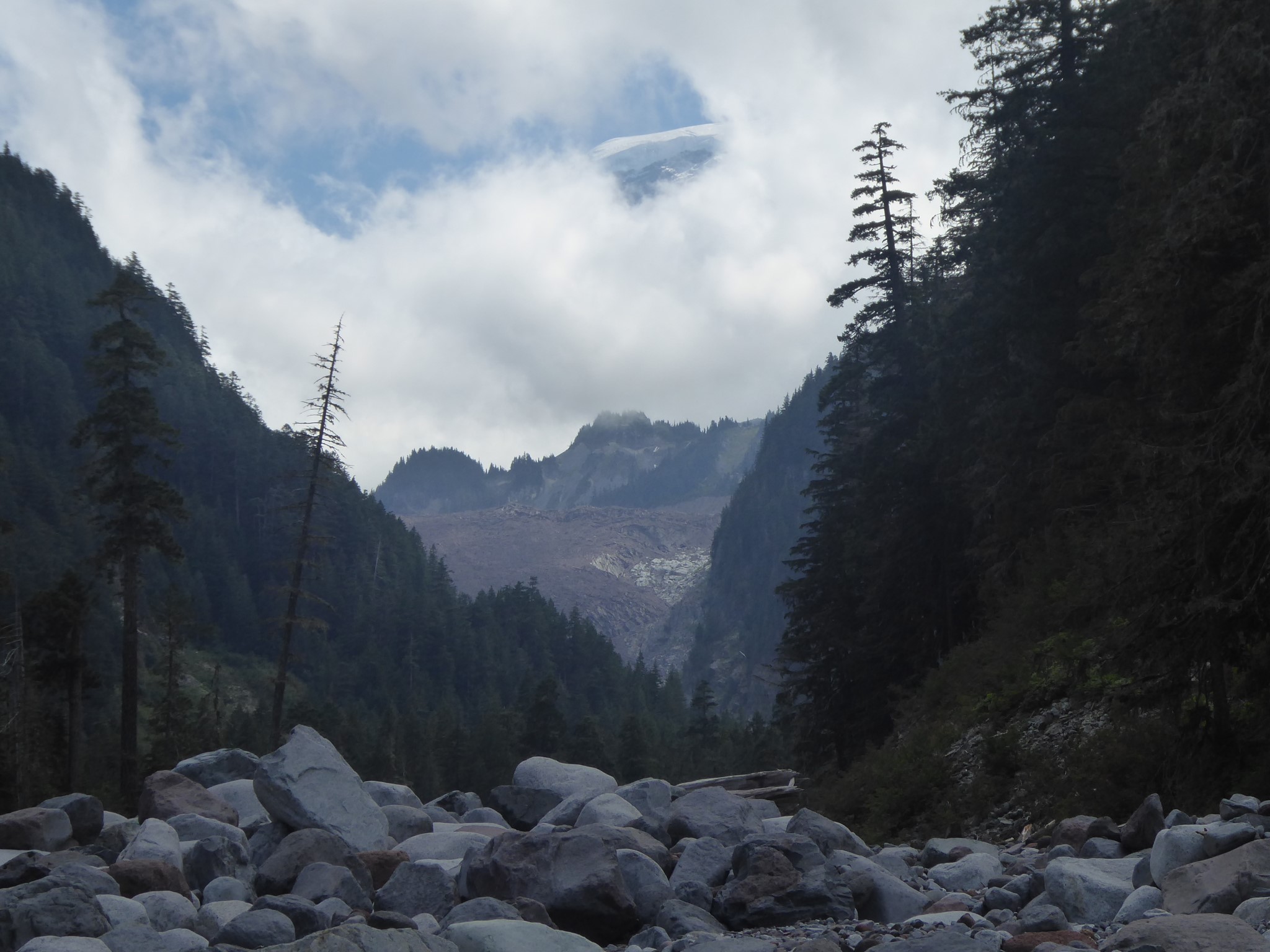
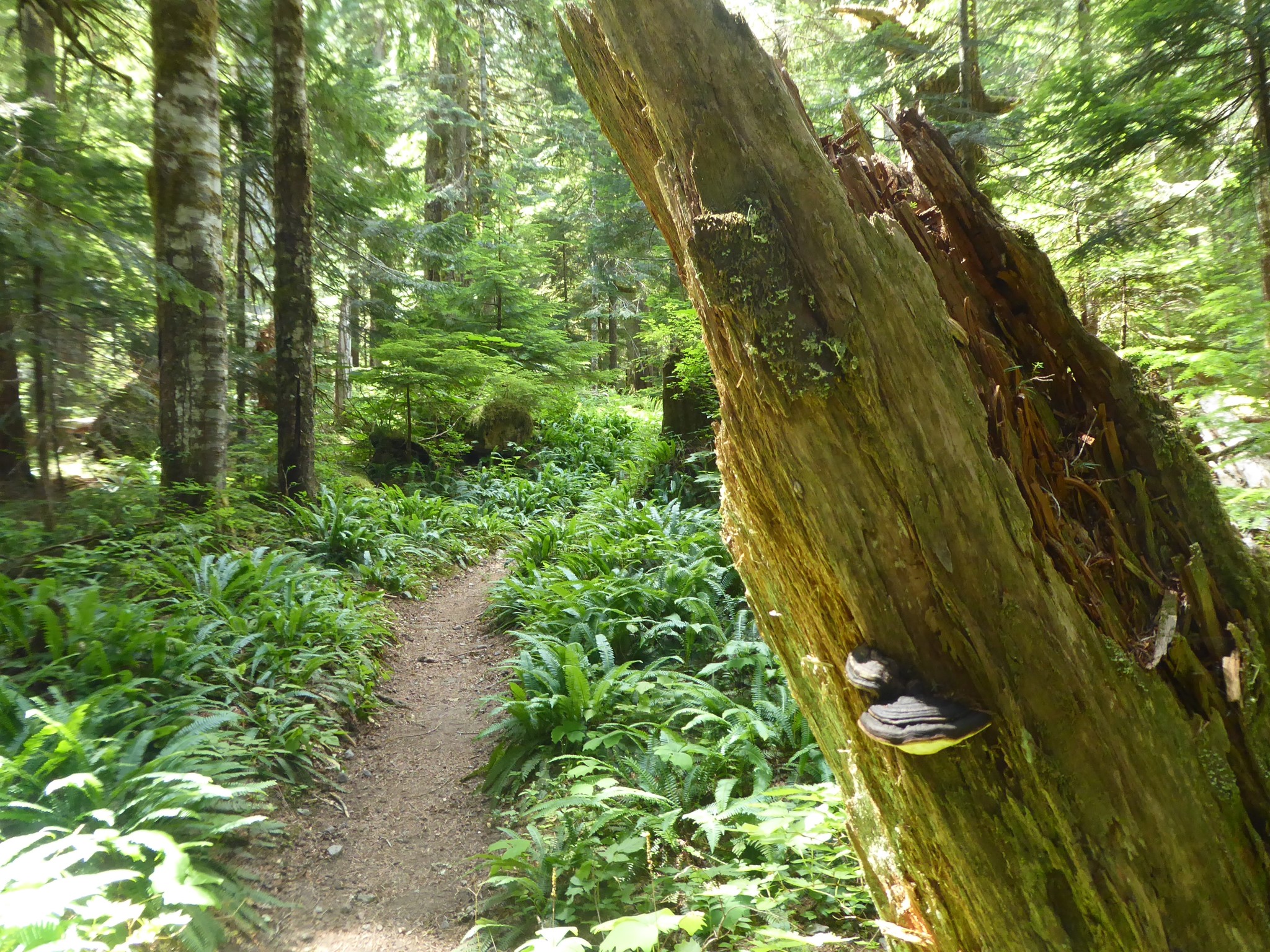
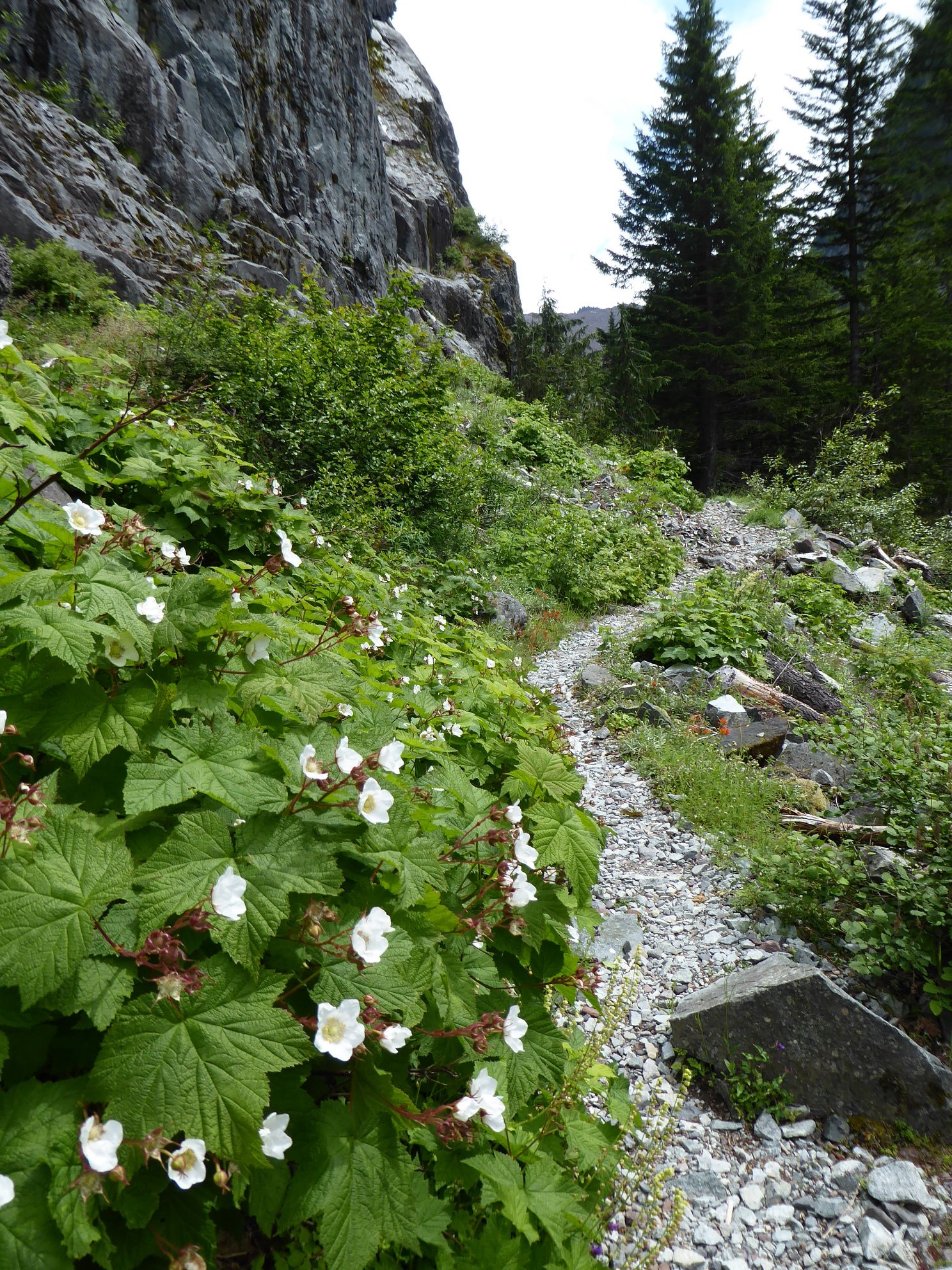
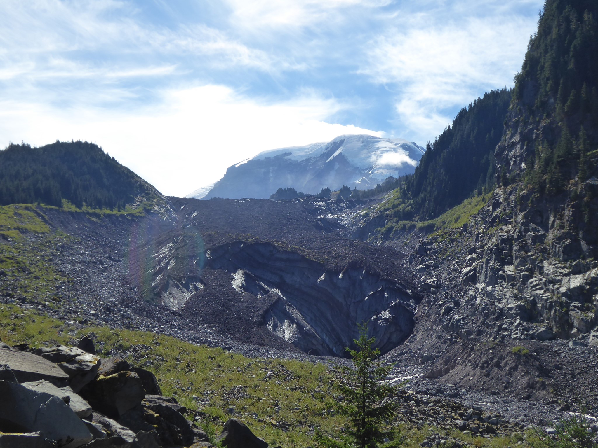
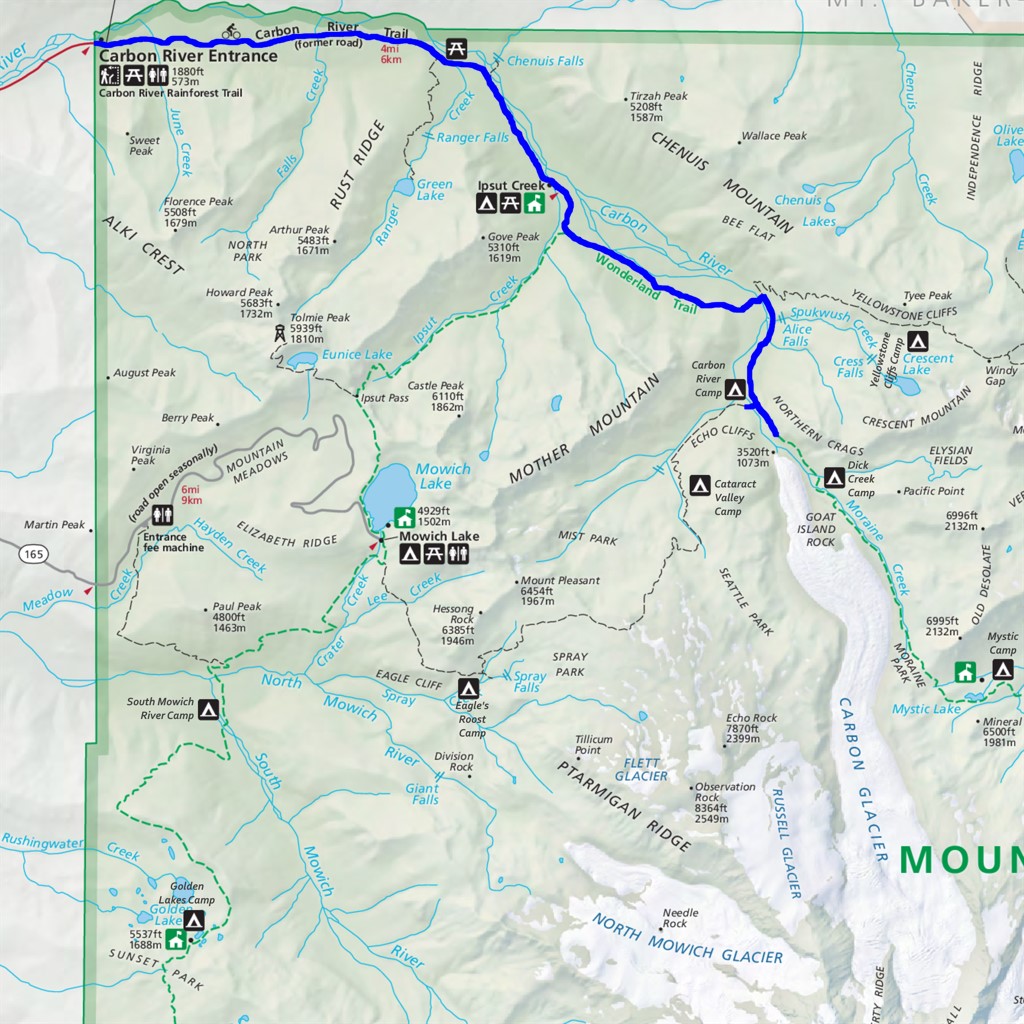
Hike or bike through magnificent old growth rainforest along the relatively flat Carbon River to Ipsut Falls trail, then hike more steeply uphill to a viewpoint of the Carbon Glacier. This is the longest, thickest, and lowest elevation of all glaciers in the contiguous United States.
Stronger hikers could do this in a day, but I snagged a walkup permit for Ipsut Creek Camp, giving me a 12.8 mile first day and 5 mile second.
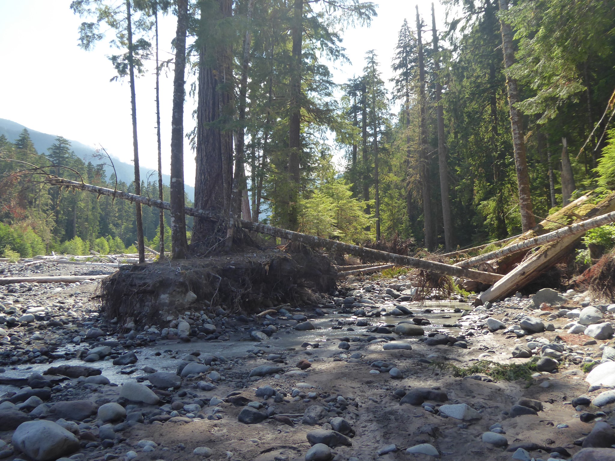
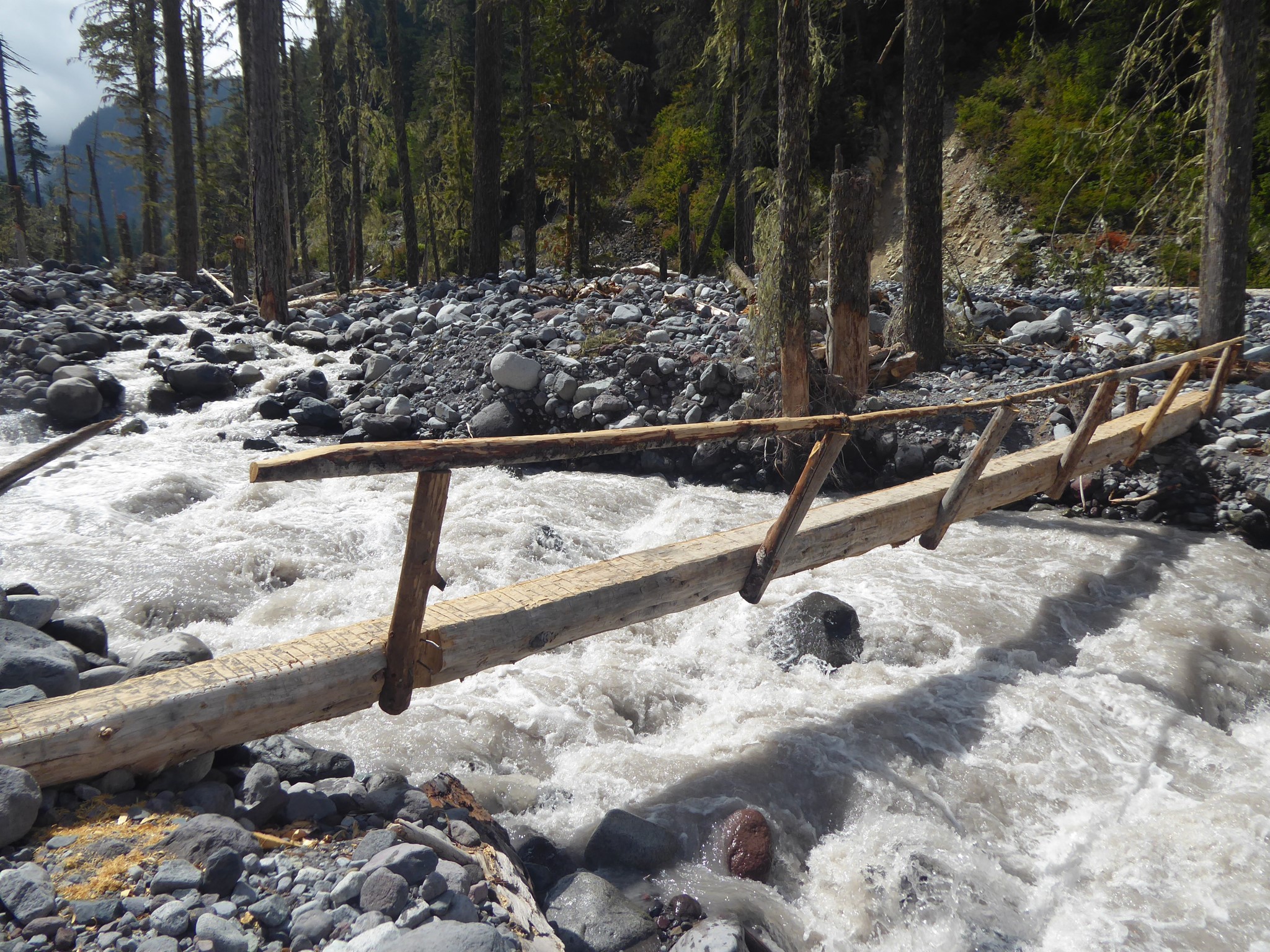
The trail joins up with the Wonderland Trail shortly past Ipsut Falls. The fork where you head left toward Carbon River Camp rather than right to Ipsut Pass is a very special spot: this is the lowest elevation of the entire Wonderland. From here the trail follows the west side of the valley for a couple of miles, then crosses the Carbon River on a log bridge, joining up with the Northern Loop and running up the east of the valley for another mile. Once upon a time the Wonderland used to continue up the west side here, but that has become yet another casualty of the destructive power of the Carbon River.
I could give more details such as a spot where you have to rock hop over a couple of smaller channels of the river to get around a tangle of fallen trees, or the rocky scramble down to the valley floor from where the old Wonderland route washed out, or following cairns to reach the log bridge, but these things will probably all be different by the time you visit here. The Carbon River loves to rearrange her furniture, and does so on a regular basis. Check recent trip reports, bring your route-finding common sense, and be prepared for adventure!
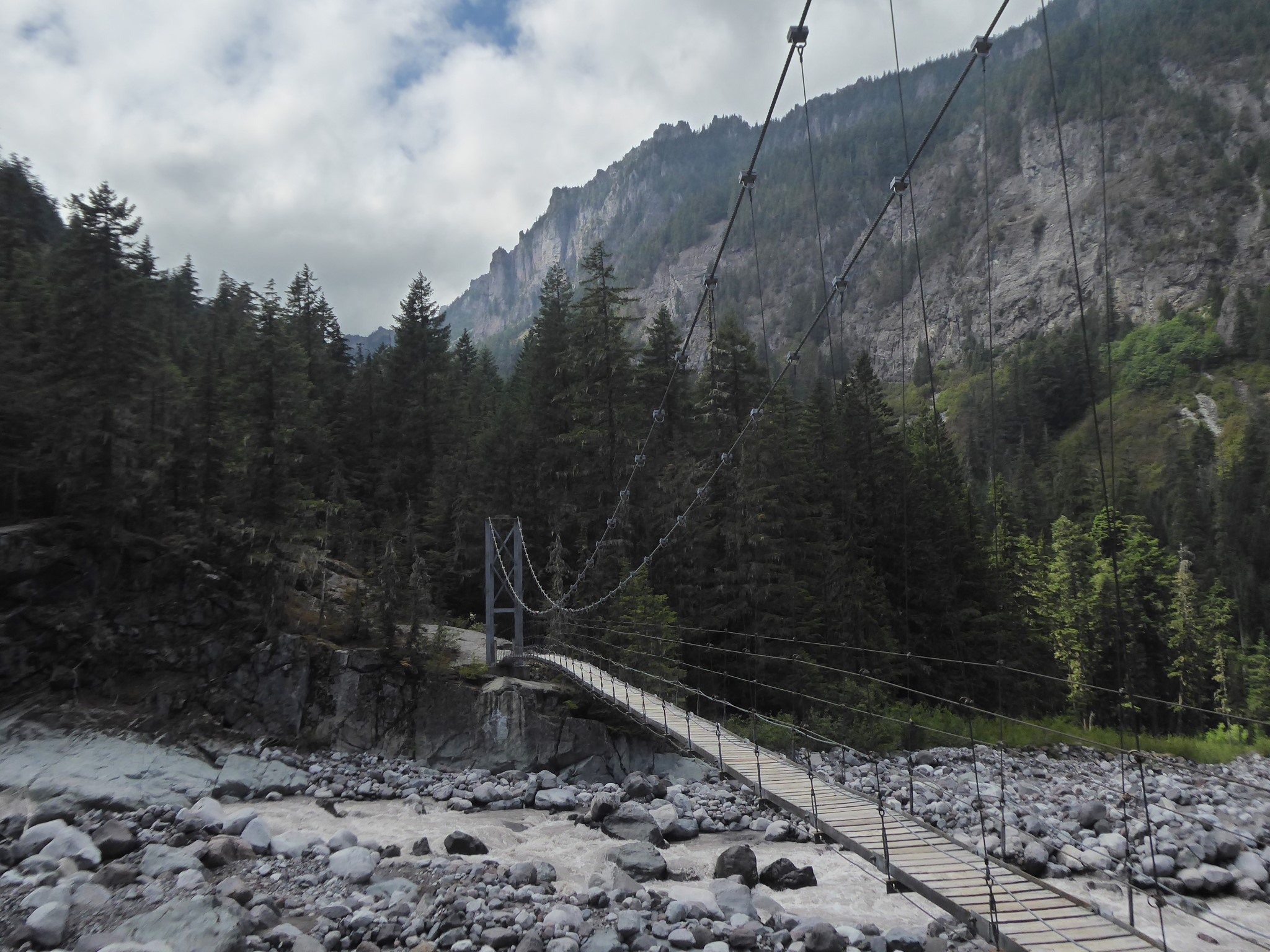
Shortly before reaching the glacier, you'll come to a suspension bridge crossing back over to the west side of the Carbon River. I guess the Park Service got fed up of endlessly replacing log bridges at this location? There's no need to cross, but it is fun (although given my fear of heights a bit scary) to do so. Carbon River Camp is near the far side of this bridge.
There is no specific end to this hike. Enjoy the glacier views, turn around when you are done, keep hiking on up to Dick Creek Camp, or stay on the Wonderland another 13 miles all the way to Sunrise, it's up to you.