|
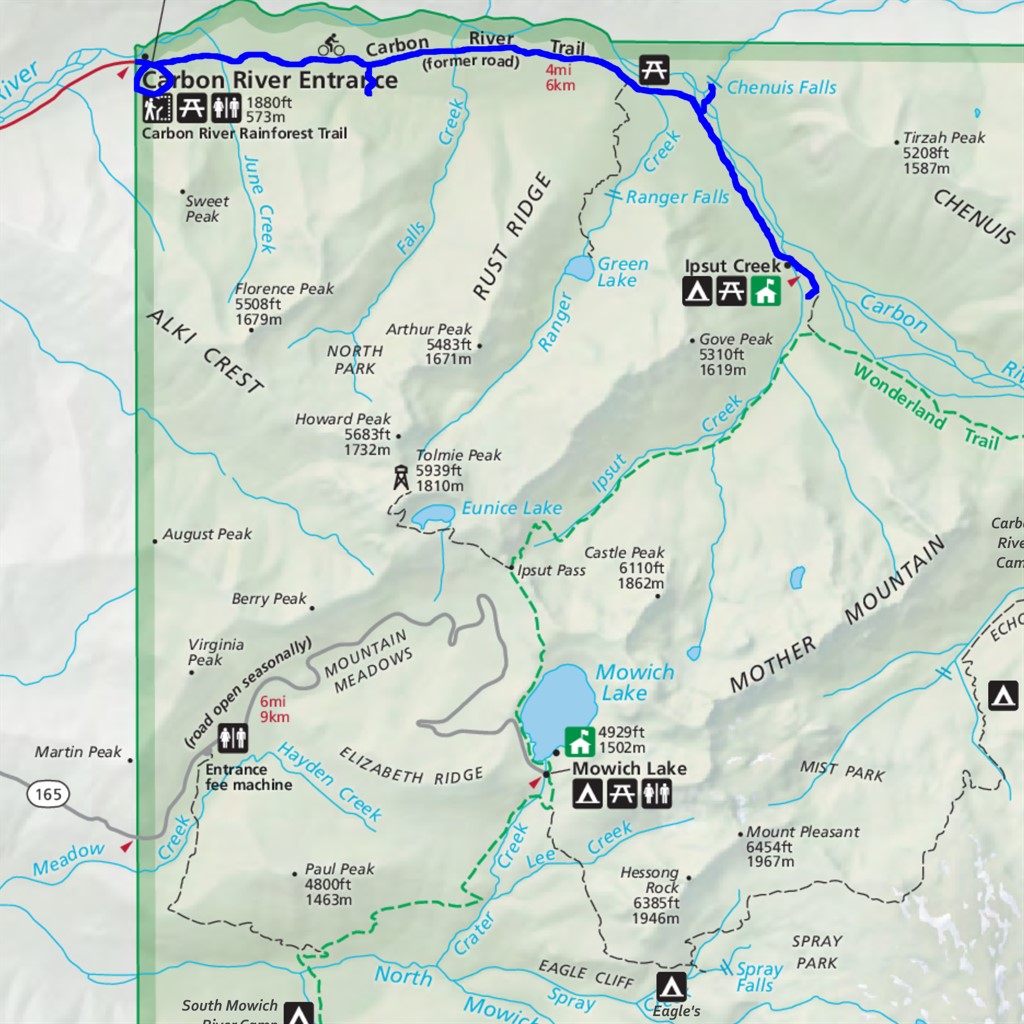
Carbon River to Ipsut Falls Difficulty: easy (but long) 10.3 miles Elevation gain: 690' Max elevation: 2380' Camps: Ipsut Creek First hiked by me: 2019 |
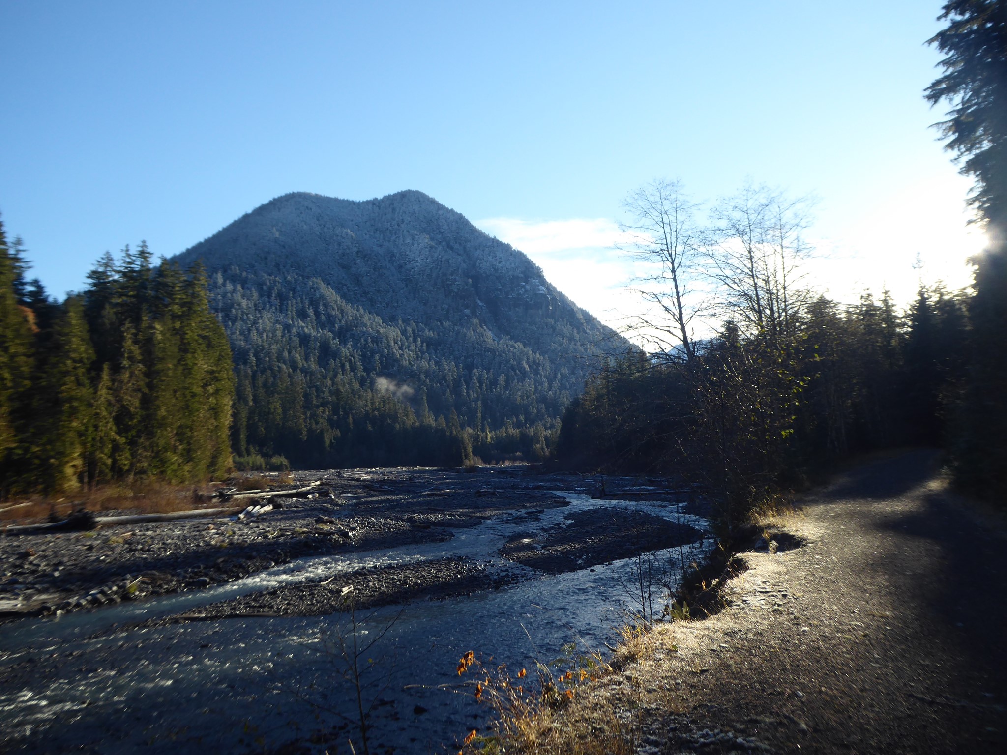
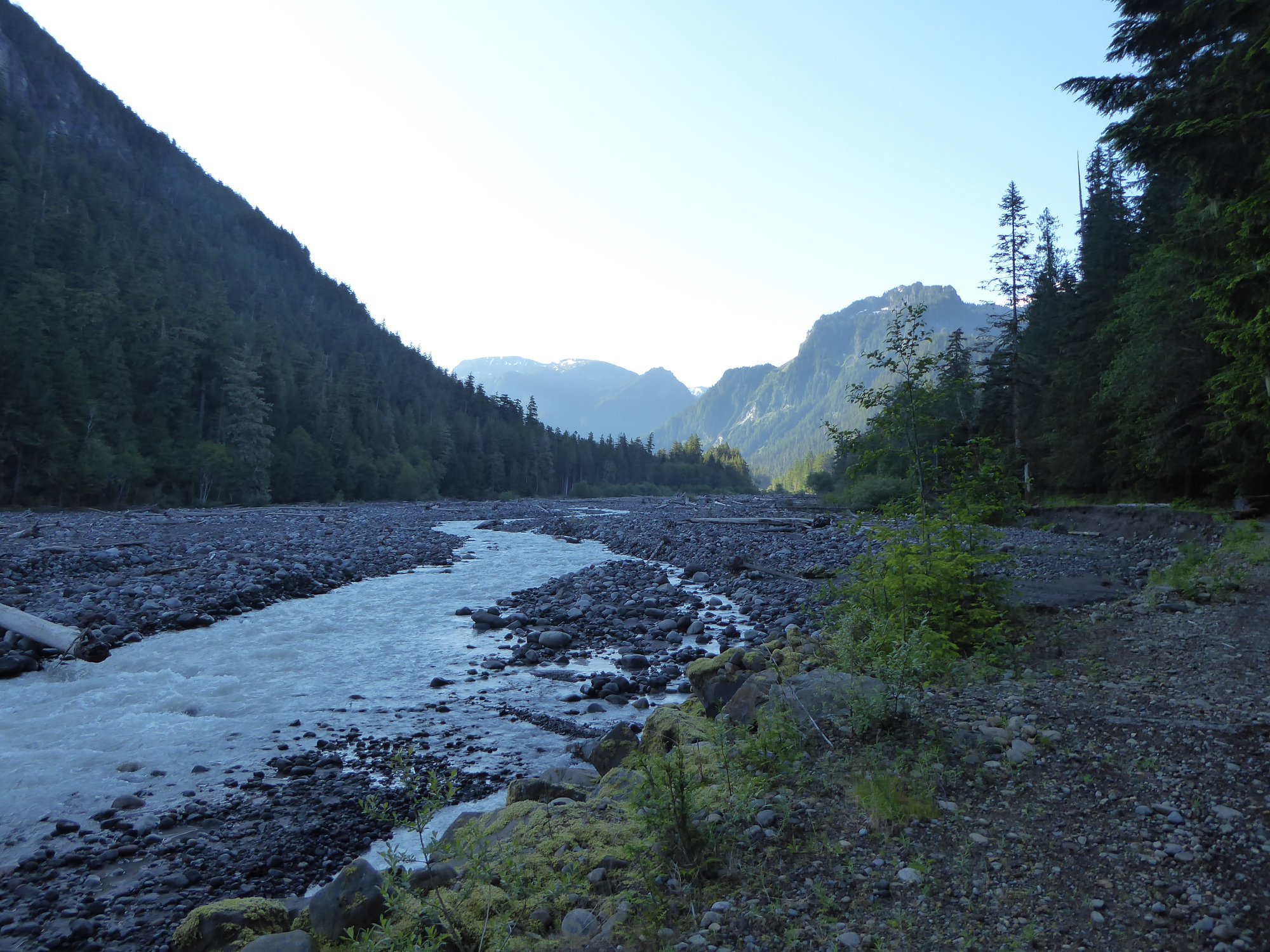
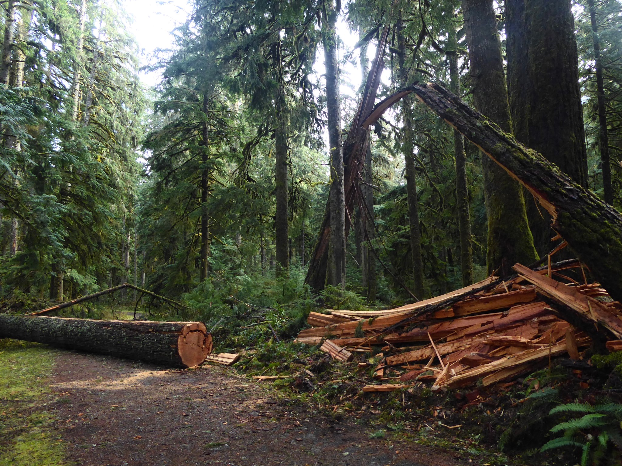
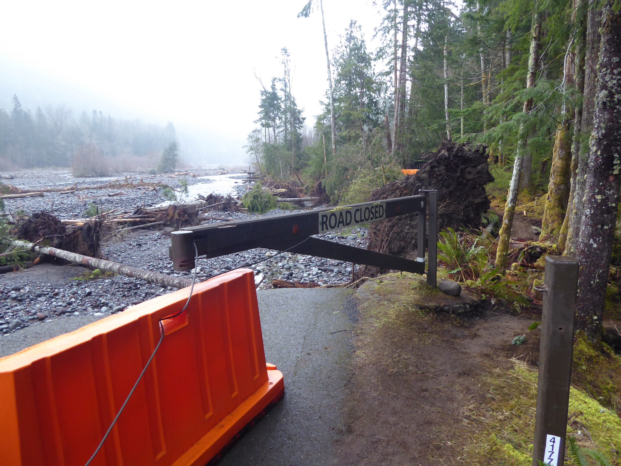
This used to be a road, leading to a car camp at Ipsut Creek. But the Carbon River is subtle and quick to anger. Over many years it fought a series of skirmishes with the road, winning some, losing others, until during the floods of 2006 the river achieved a resounding victory that settled the issue once and for all. The road was defeated! The Park Service gave up, declaring this to be a trail henceforth, and Ipsut Creek was converted to a backcountry campsite.
Interesting fact: although most mountain rivers erode their valleys deeper over time, the glacier-fed rivers of Mount Rainier are undergoing a process called aggradation where their beds are increasing due to sediment from all the rocks and silt that get mixed up with glacier ice. This means the rivers are constantly braiding and changing their path, which is not good news for anyone hoping to maintain a road next to them.
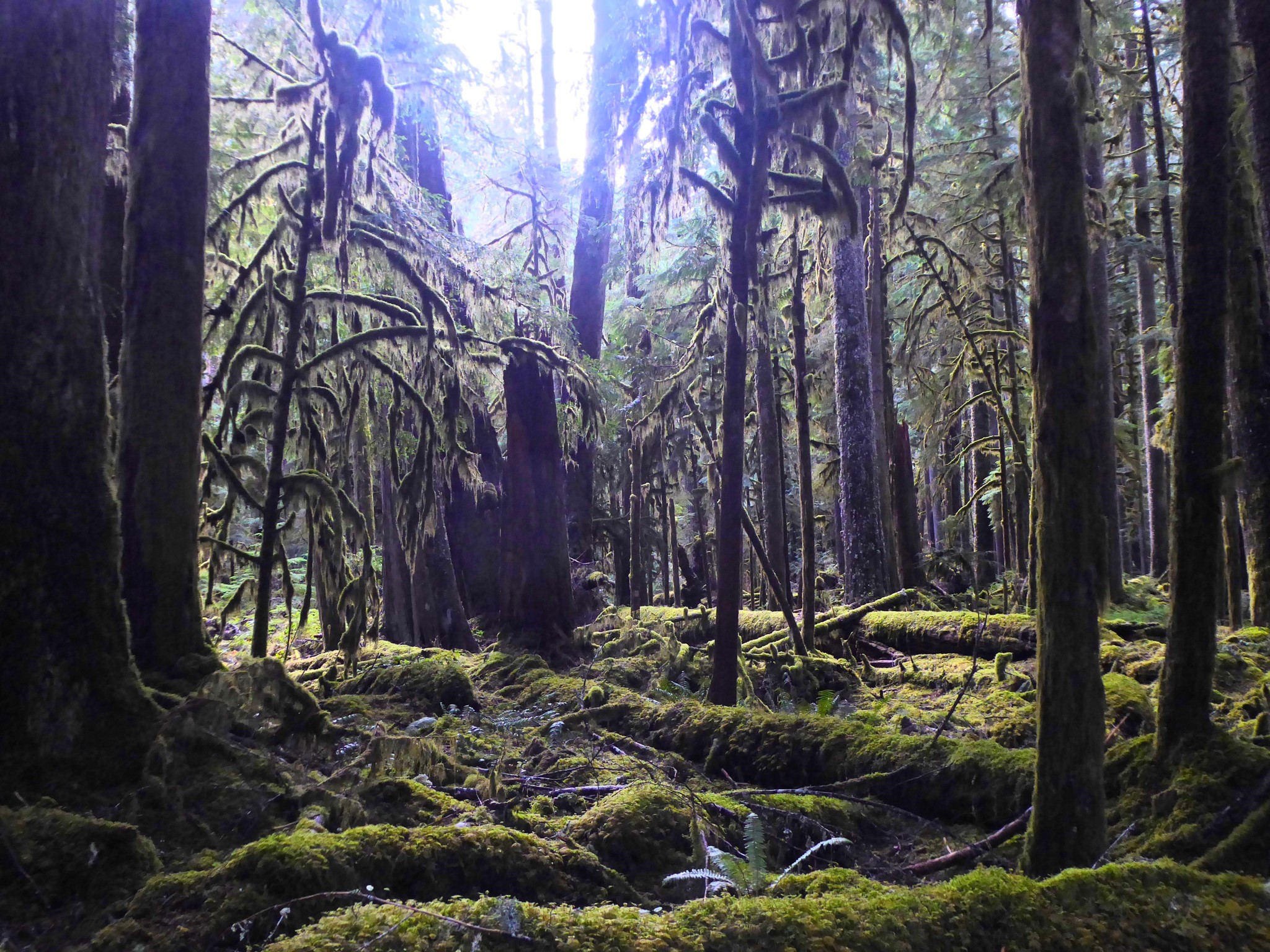
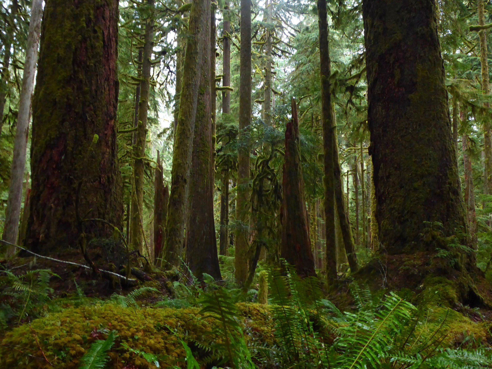
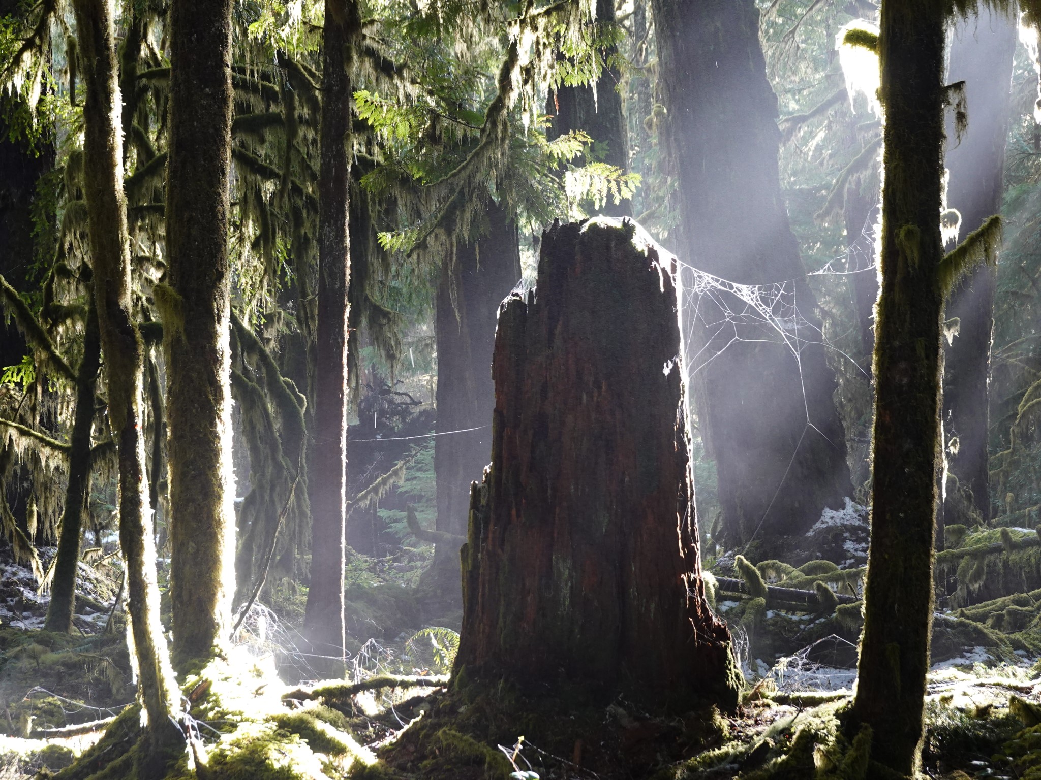
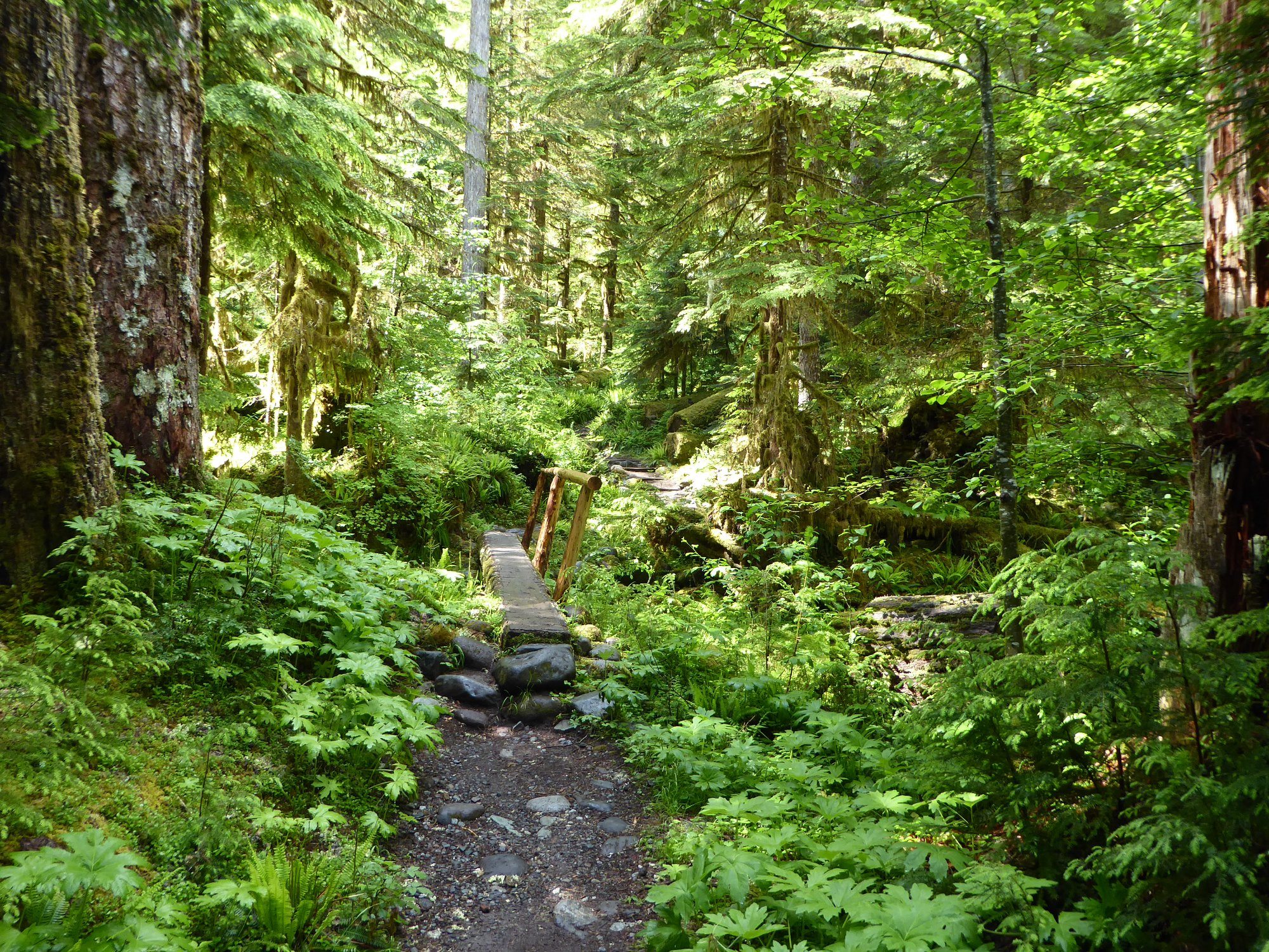
I foolishly resisted exploring this area for years, thinking it's just a road, and roads are boring. I could not have been more wrong! After the first quarter mile the road is sufficiently eroded that it feels like an unusually wide trail. There are intermittent views over the rocky Carbon River valley, but that's not why you should come here. The reason to visit is the TREES.
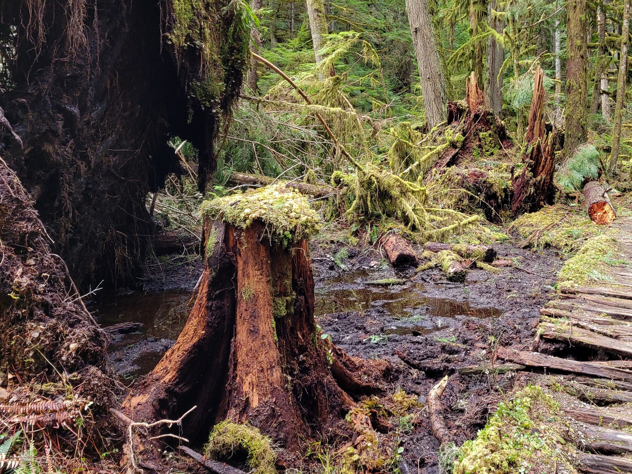
The high rainfall and low altitude of this area combine to create a lush temperate rainforest, the closest thing to Fangorn Forest this side of the Olympic Mountains. There are nursery logs, giant ferns, moss-festooned branches, and so many shades of green that your eyes will forget the existence of other colors. It's probably just in my head, but the air even feels more oxygenated than usual. It puts a spring in my step and a sparkle in my soul.
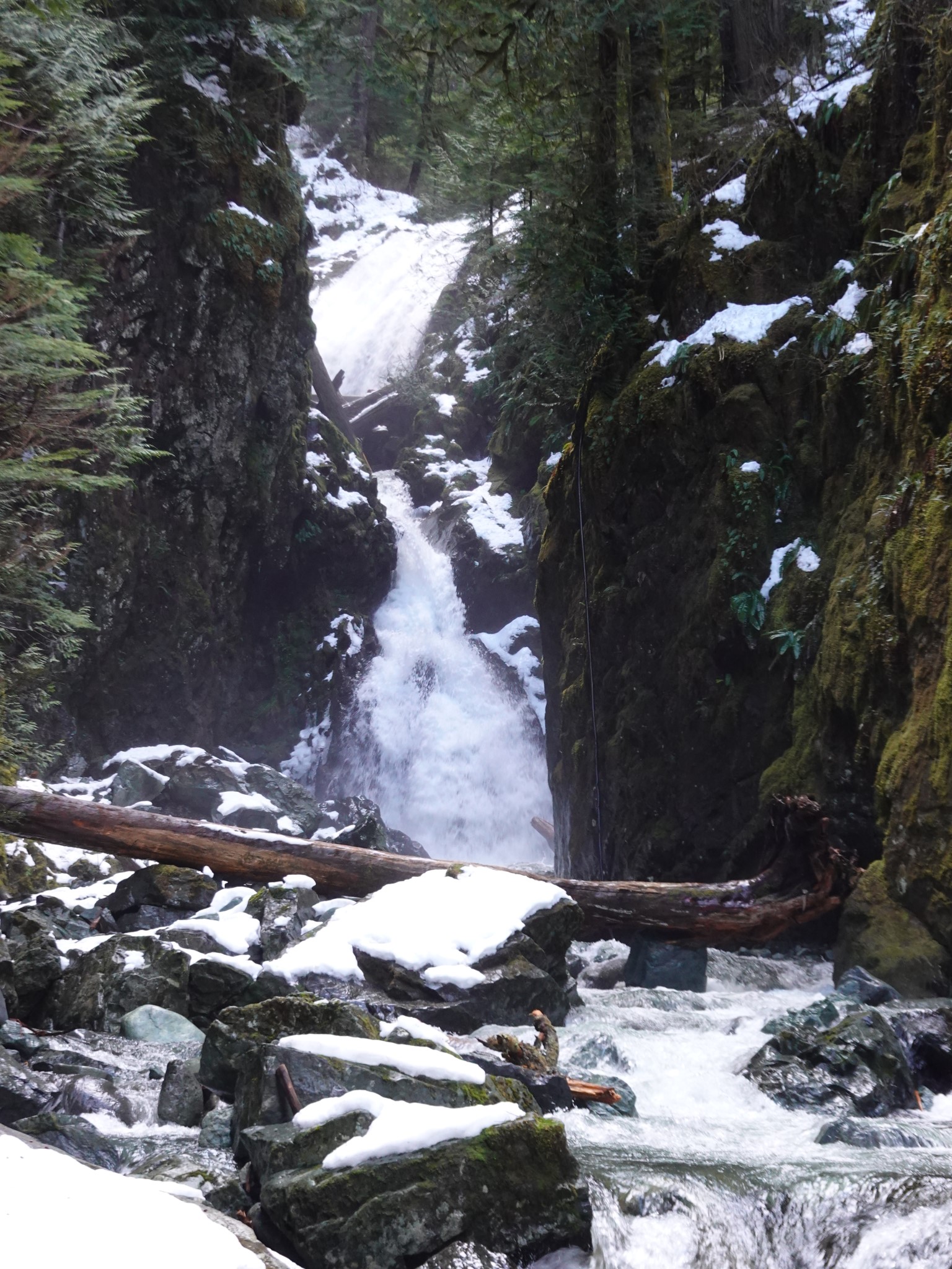
The trail is long but level. Shortly past Ipsut Creek Camp (where the road used to end, so the trail narrows after this point) a short spur on the right leads to Ipsut Falls.
Ipsut means 'concealed' in the Chinook Jargon.
There are three side trips (marked on the map above but not included in the mileage) that can be combined with this hike, or which make worthy turnaround points for shorter hikes:
- Right by the trailhead, the concisely named Carbon River Rain Forest Nature Trail is an easy (but worthwhile) 0.5 mile interpretive loop.
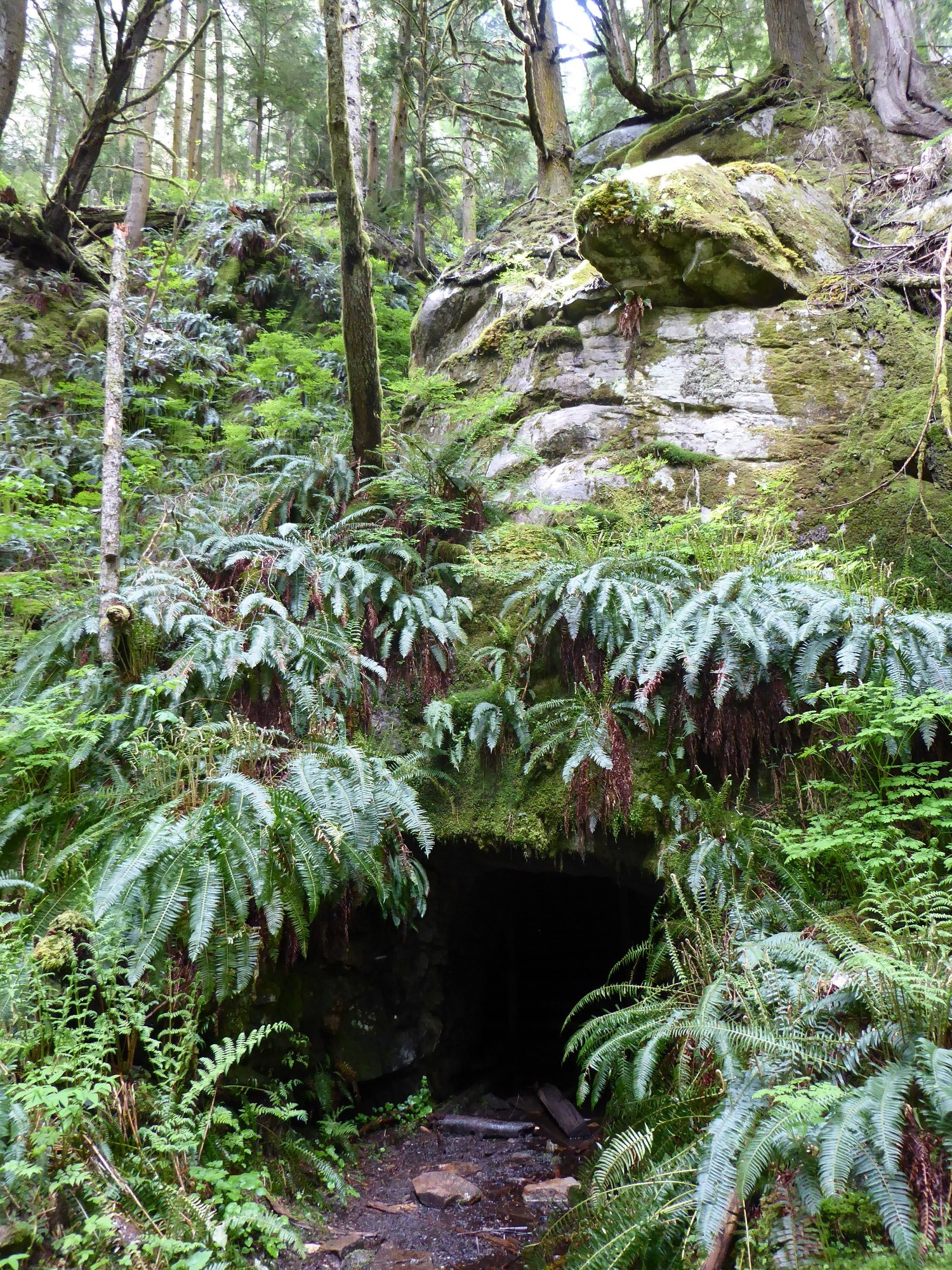
- One mile in, a sign on the right says 0.3 miles to Washington Milling and Mining Company. This spur is short but quite steep. It leads to an exploratory copper mine that was dug between 1907 and 1909 but never commercialized, perhaps because the company was mostly interested in using mineral claims as an excuse for logging inside the National Park. You can look into the mine entrance, but there's a grate to prevent venturing inside.
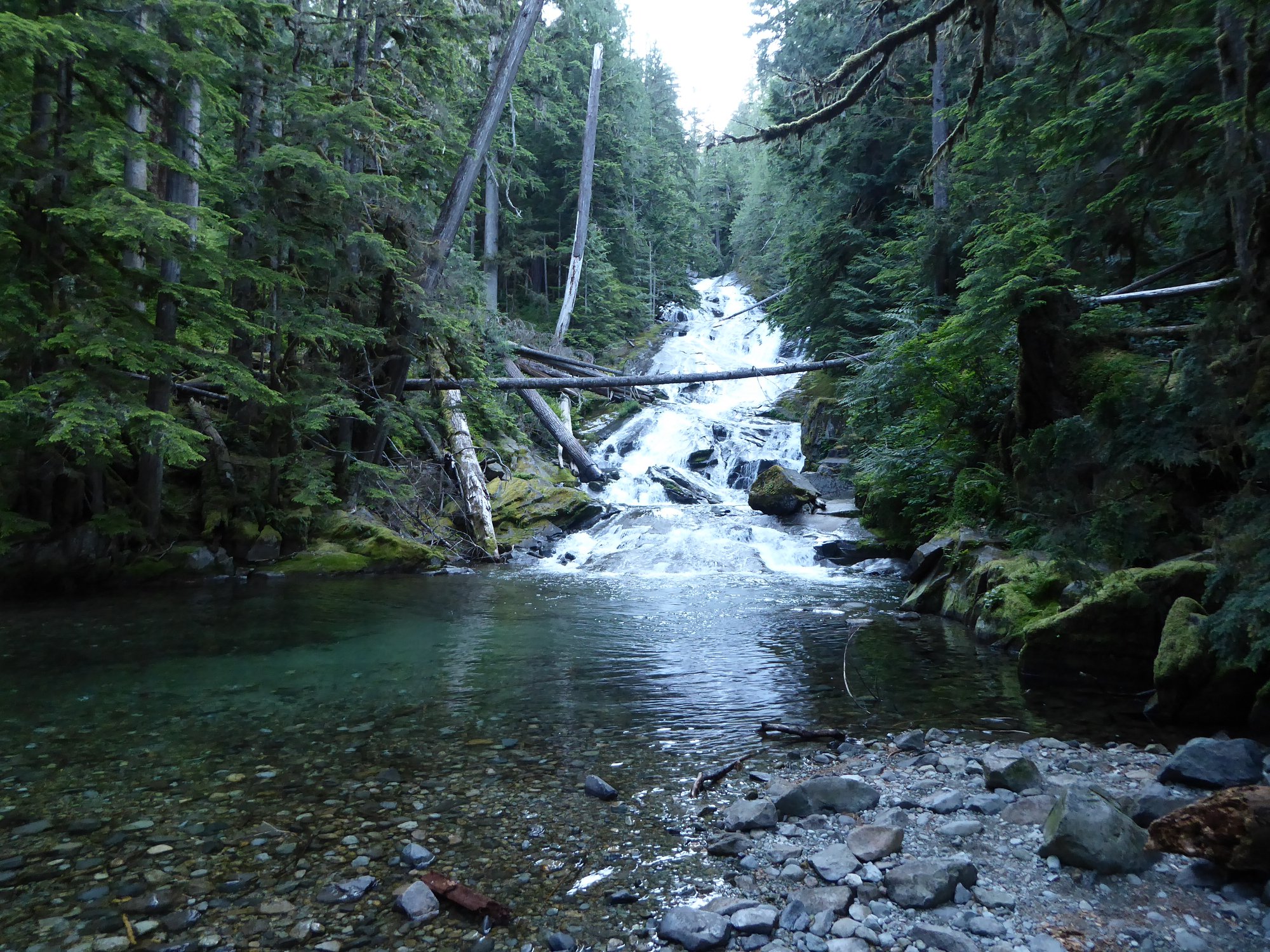
- 3.5 miles in, turn left for a 0.2 mile spur that crosses the Carbon River to Chenuis Falls. Assuming the footbridges are in, anyway. They wash away often. It's quite a river, that Carbon!
Bicycles are allowed on the Carbon River trail (but not the side spurs) as far as Ipsut Creek, if you're the sort of person who likes that sort of thing. It is easy riding except for a couple of short sections where the trail has been rerouted around river damage.
This trail is also the first part of the Green Lake, Carbon Glacier, and Chenuis Falls Trail hikes.