|
Chenuis Falls Trail Difficulty: moderate but unmaintained and an obstacle course in places 10 miles Elevation gain: 1270' Max elevation: 2960' Camps: none First hiked by me: 2022 |
This is an abandoned trail. Only come here if your navigation is up to the task of finding your way where there is no path to follow, and practice Leave No Trace to avoid damaging fragile terrain.
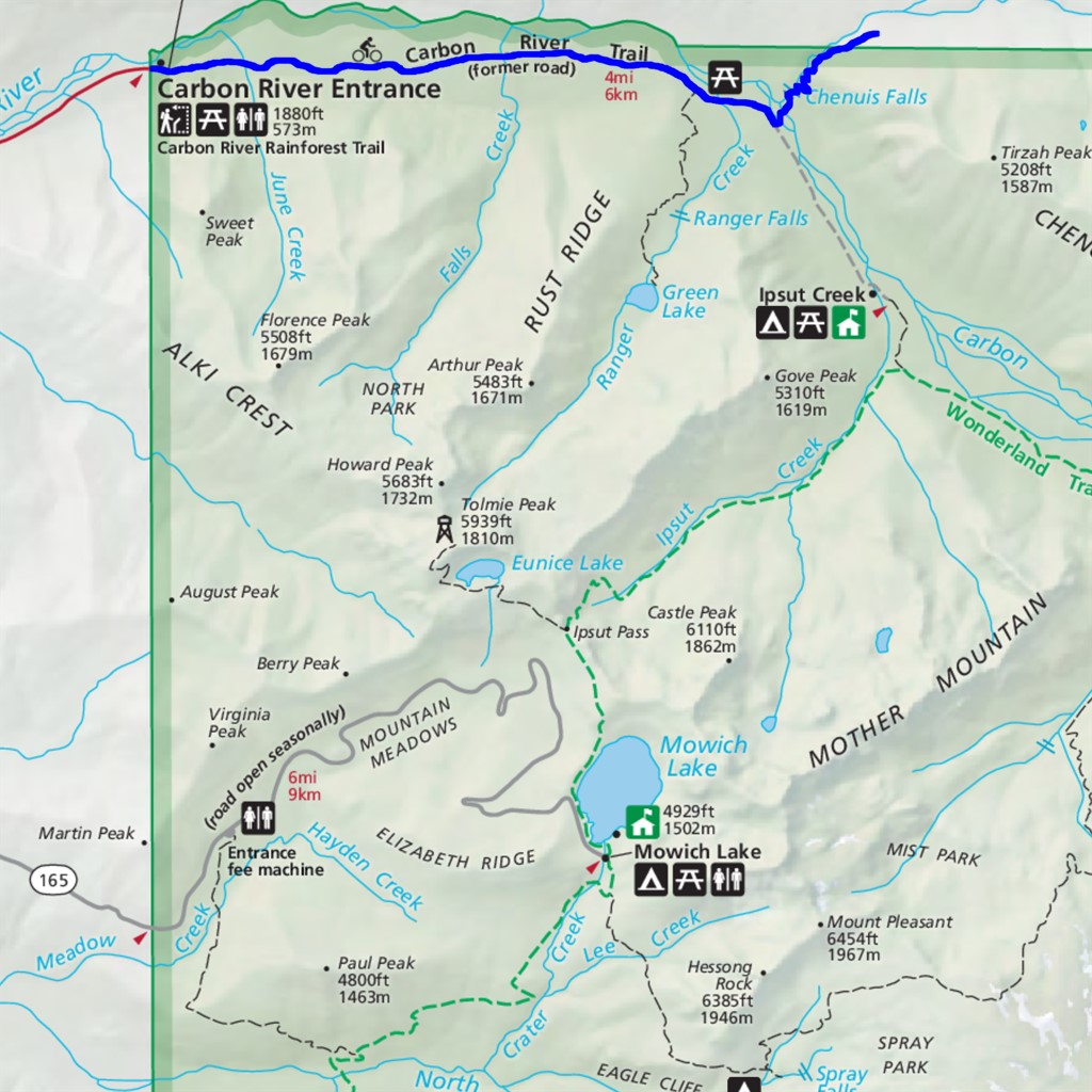
First a clarification: Chenuis Falls itself is a family-friendly side trip along the Carbon River to Ipsut Falls hike. This entry refers to an old trail that heads northeast past the falls, switchbacking steeply upward with no views before petering out. Paul Hodge's book "Mt. Rainier Trails" has an accurate description: "an abandoned trail that presently leads nowhere and does it awkwardly".
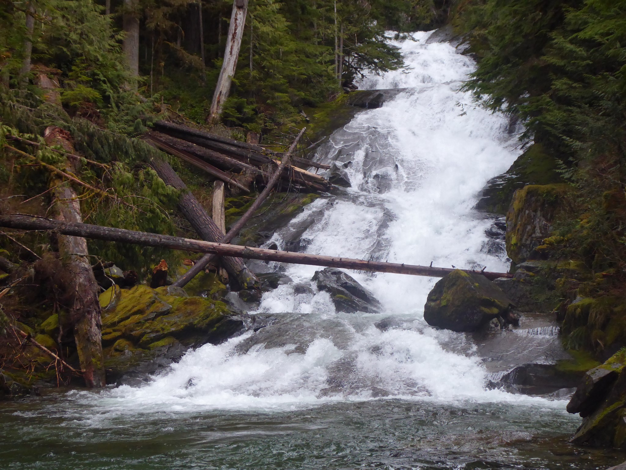
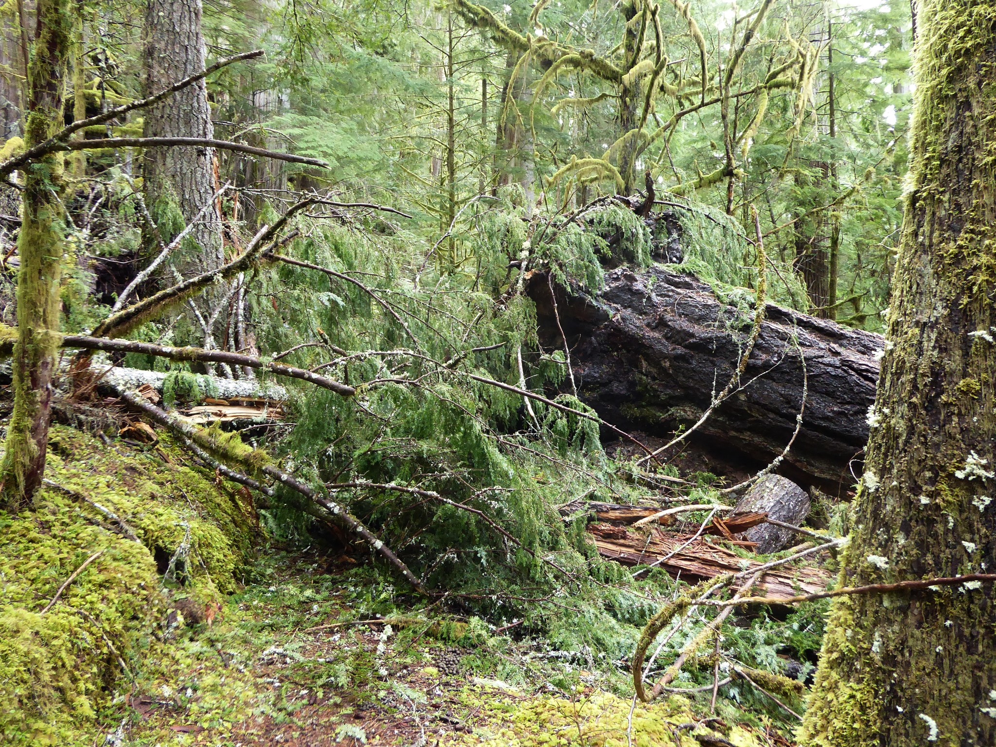
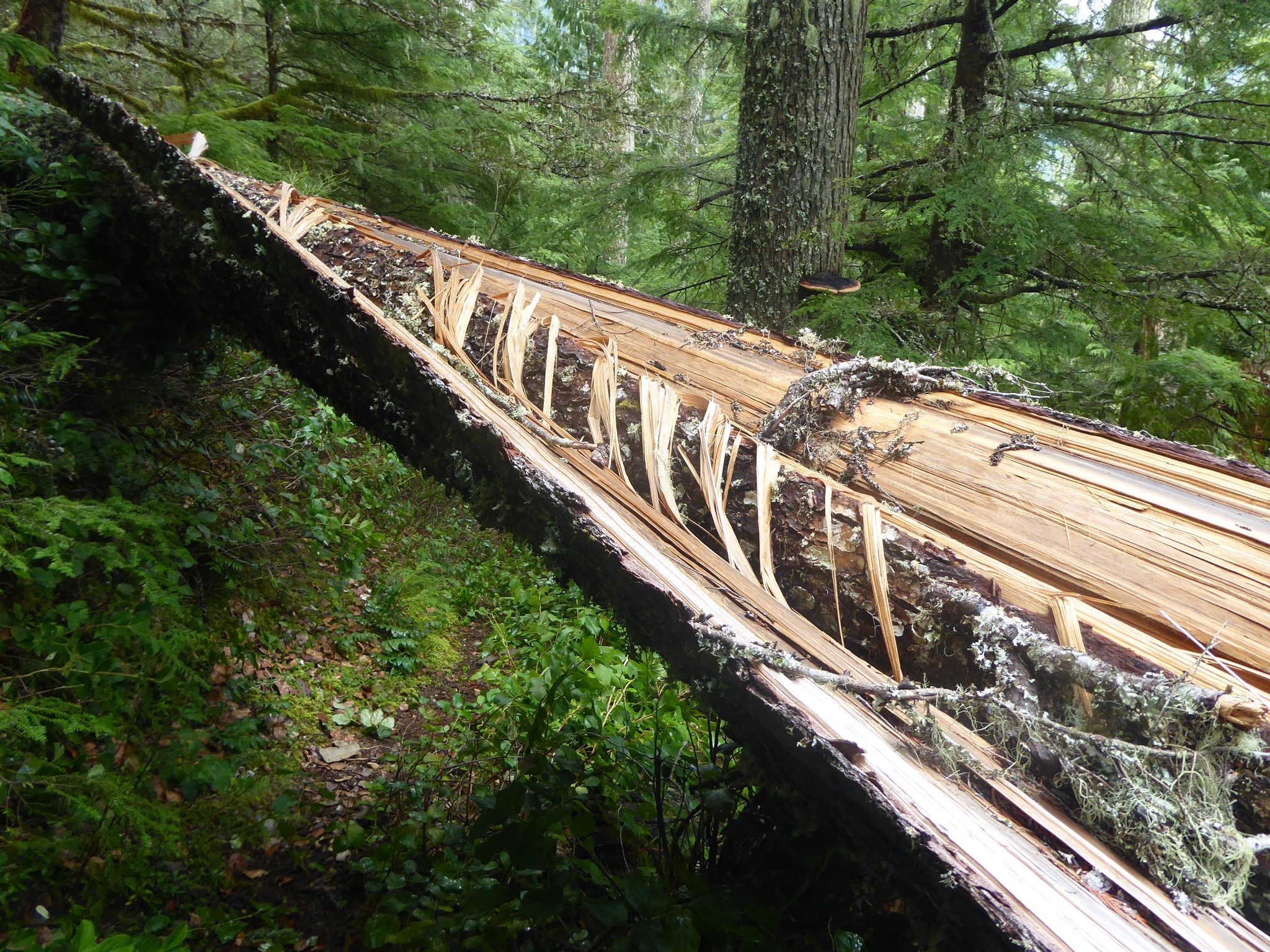
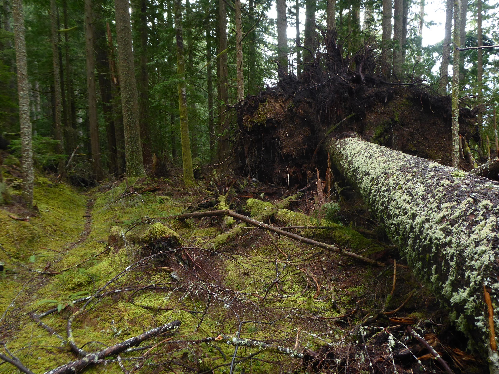
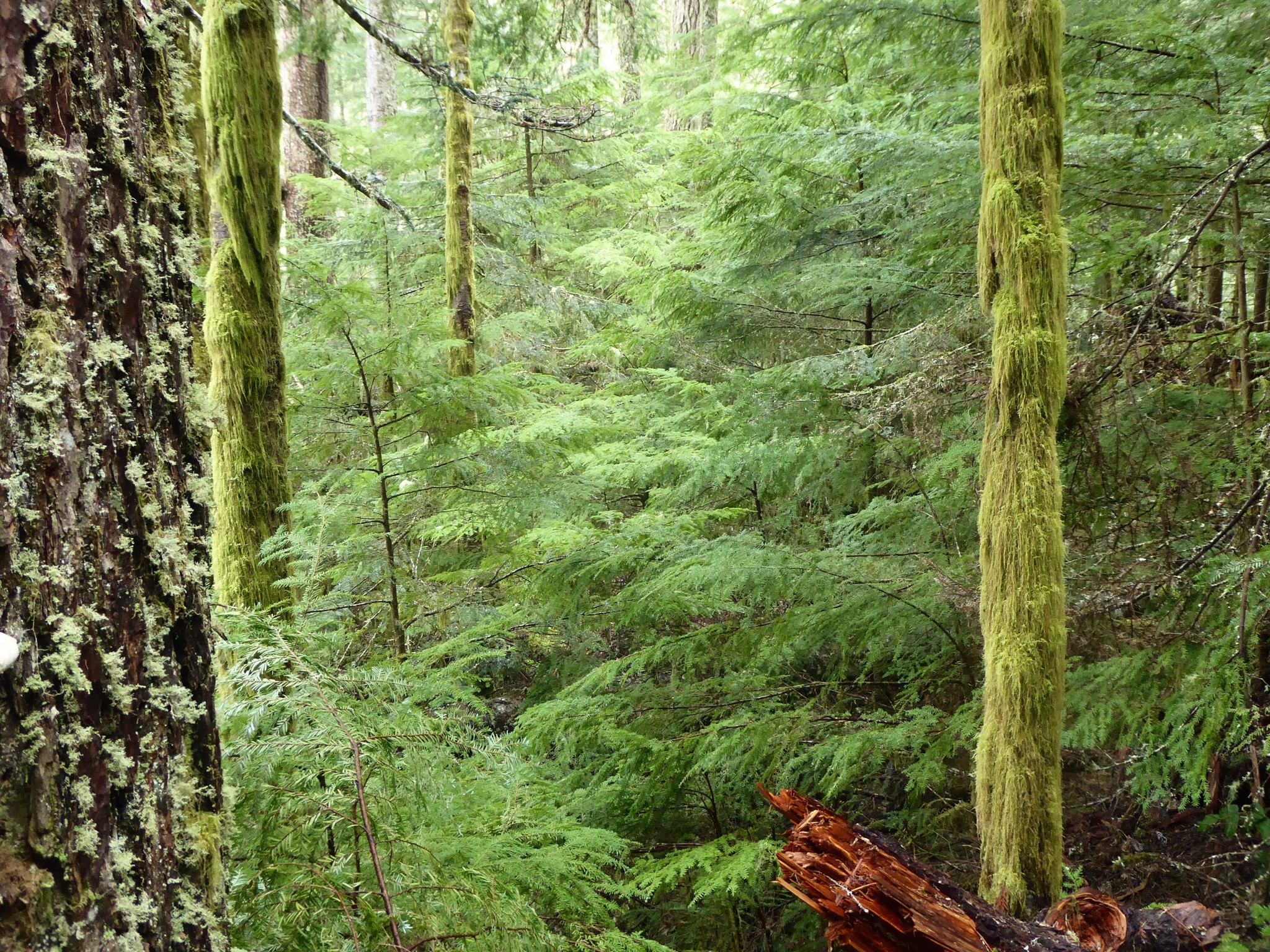
Hike or bike 4 miles up the once-road-now-trail Carbon River, then cross the river, enjoy the pretty waterfall, and start climbing. This route is clearly still used on a regular basis, but only by elk, whose droppings are plentiful. As of 2022 I found it navigationally straightforward although overgrown with salal in places. I didn't count the number of blowdowns but there were at least a dozen big ones that required my full complement of climbing over, crawling under, and scrambling around abilities.
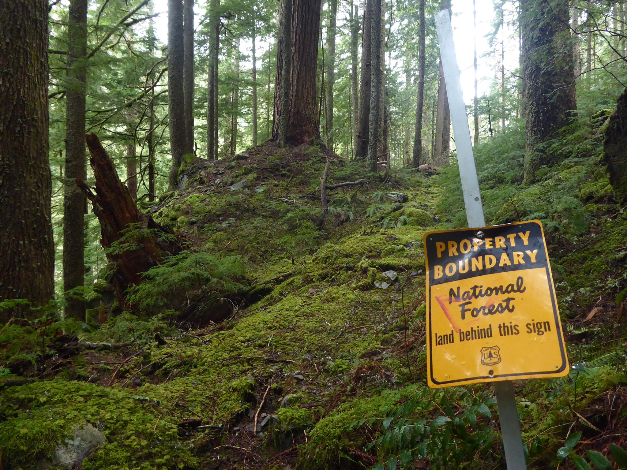
Past the National Park boundary, the trail became fainter. I was no longer enjoying the frequency and size of blowdowns so I turned around a quarter mile outside the park.
This is speculated to be a remnant of the North Boundary Trail, which was used to patrol for poachers in the early days of the National Park and connected eastward and then up Independence Ridge all the way to Windy Gap. More recently the trail ended a mile or so east of the park boundary, at a crossing of Chenuis Creek where I'm told there was once a ranger station.
A volunteer who spent 20 years maintaining this trail as a labor of love wrote in 2011:
"I've been trying to keep it open, or at least passable for the adventurous [...] although I have lost a lot of ground over the past few years due to an increasing number of trees beyond the capacity of my sven saw. [...] Last time I was up there I decided it was beyond me and I gave up. Even got a little teary. Then I kept finding myself making excuses to just go back and do a little here and there."
She has since passed away, but her tools are believed to be still hidden in the area.
Reasons to hike here: adventure. Glorious temperate rainforest. Really big trees. The kind of deep solitude where you know you are distant from all other humans in time as well as space. Lack of footprints ahead of you along the trail.
I have read several people describing spooky experiences and believing the trail to be haunted, but I experienced nothing like that. The area is lonely and primordial yet I felt welcome.
Adding to my sense of adventure, the bridge over the Carbon River was out when I visited, so I had to ford the river. I would not attempt this at other times of year, but in March the water was running clear rather than glacial silty so I could see the bottom, and I found a spot where it was wide and shallow enough to only come a bit above my knees.