|
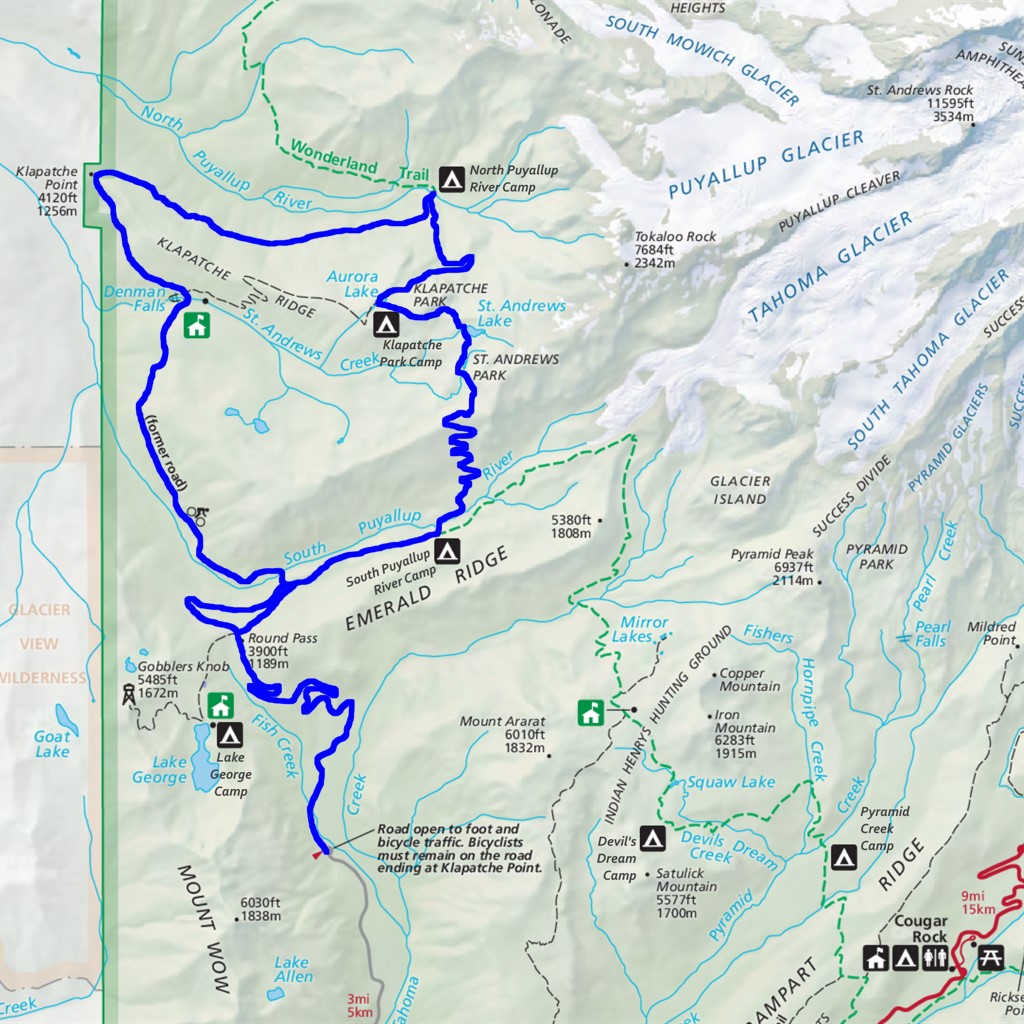
Westside Road to North Puyallup Difficulty: strenuous overnighter 22.5 miles Elevation gain: 4920' Max elevation: 5970' Camps: South Puyallup River, Klapatche Park, North Puyallup River First hiked by me: 2020 |
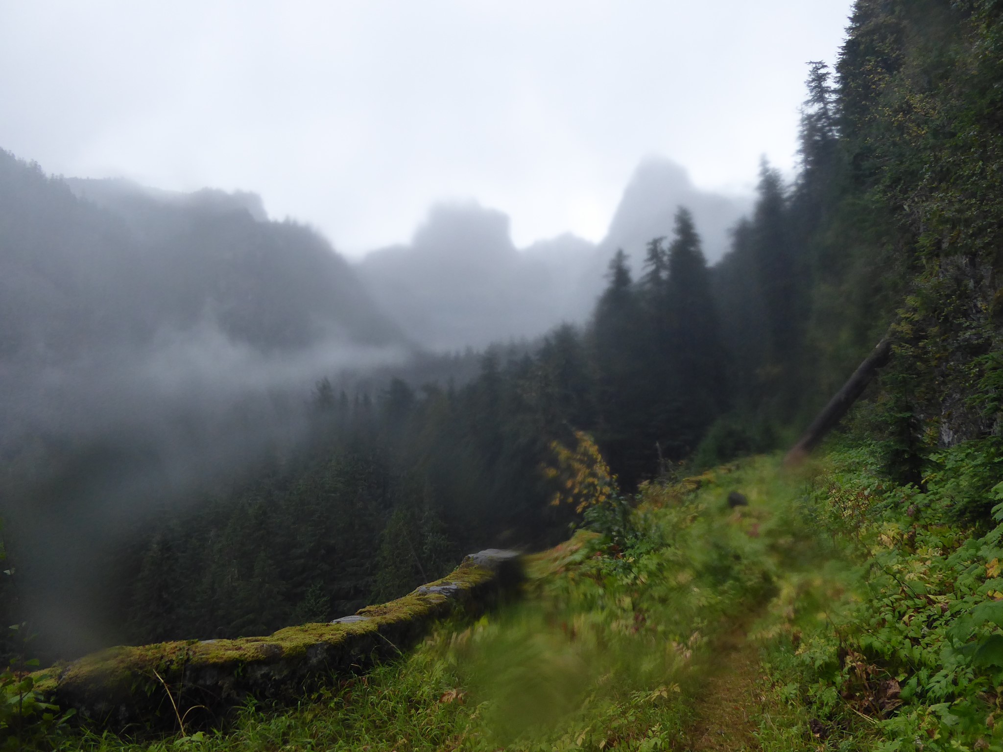
I have to admit, I wasn't expecting much from North Puyallup River Camp. This is one of the most remote campsites along the western side of Rainier, but it's also the end of an abandoned road (the group campsite literally is part of that road) which means artificially flattened areas and stone retaining walls. Not what we typically look for when seeking a wilderness experience!
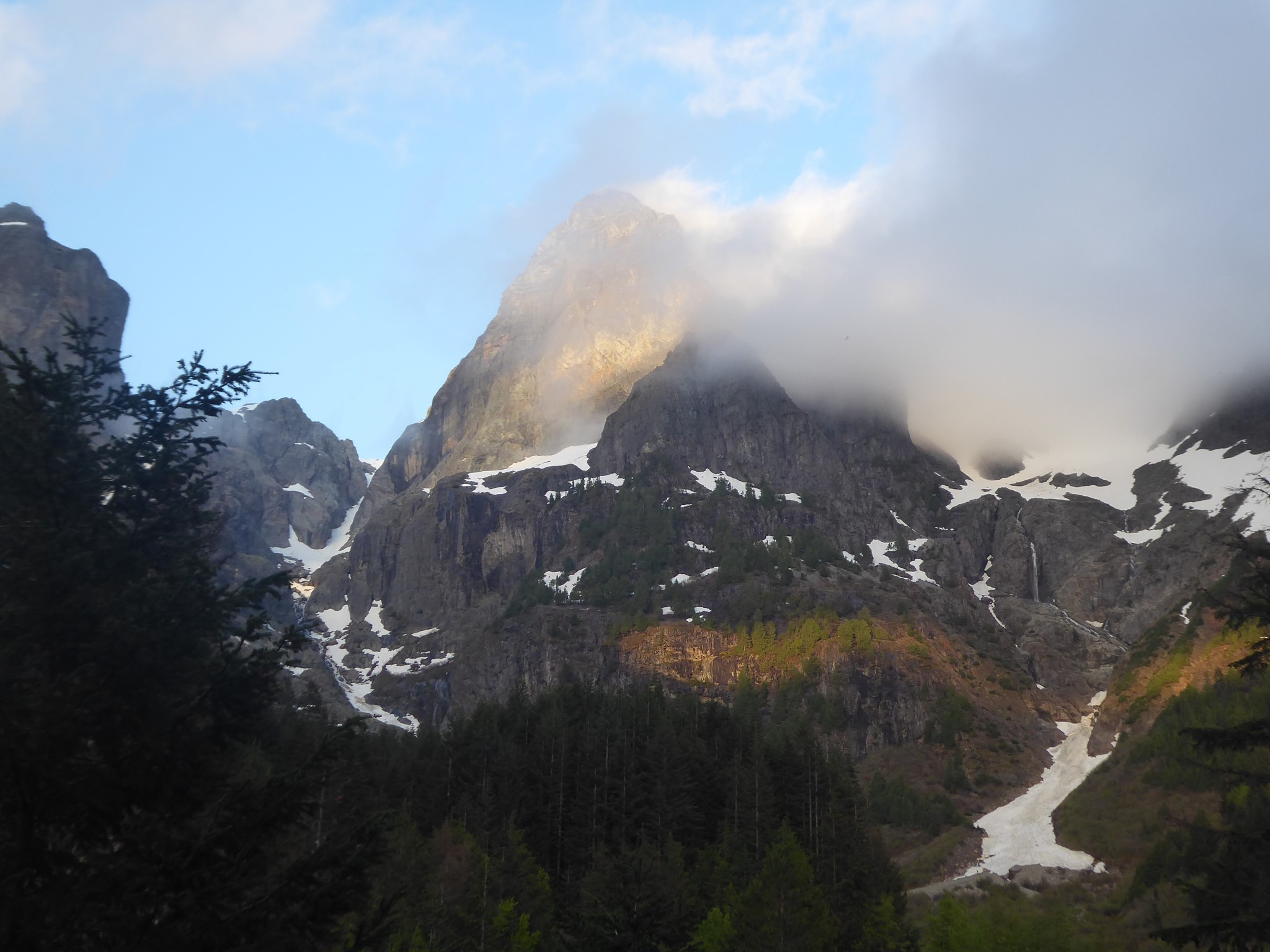
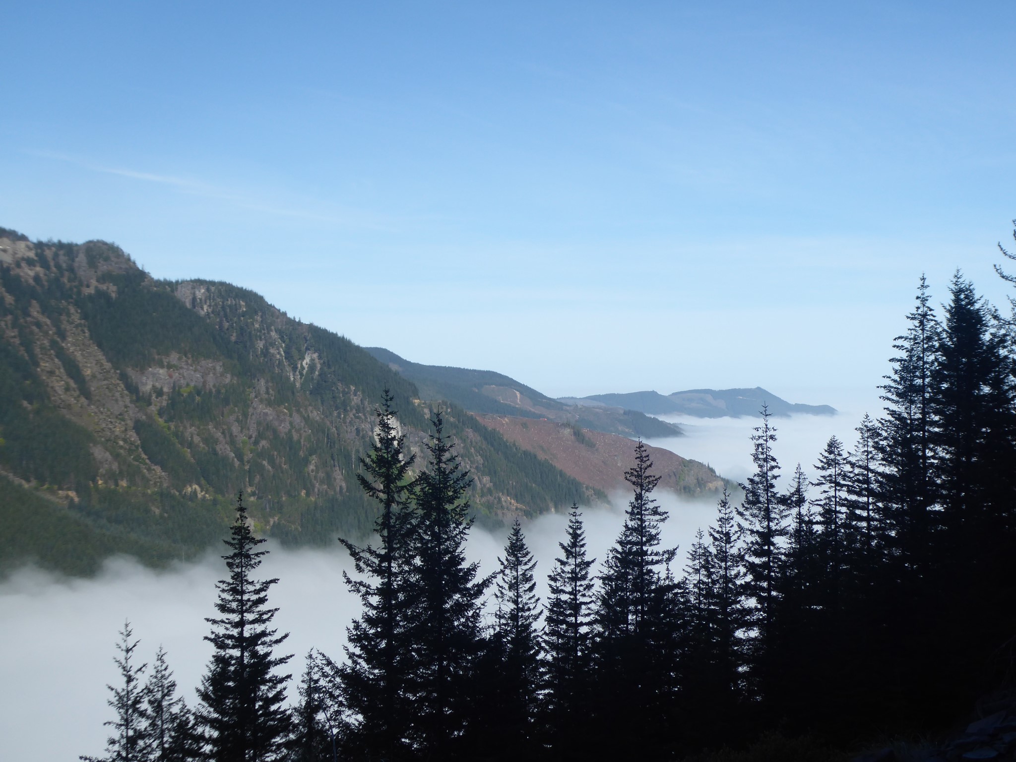
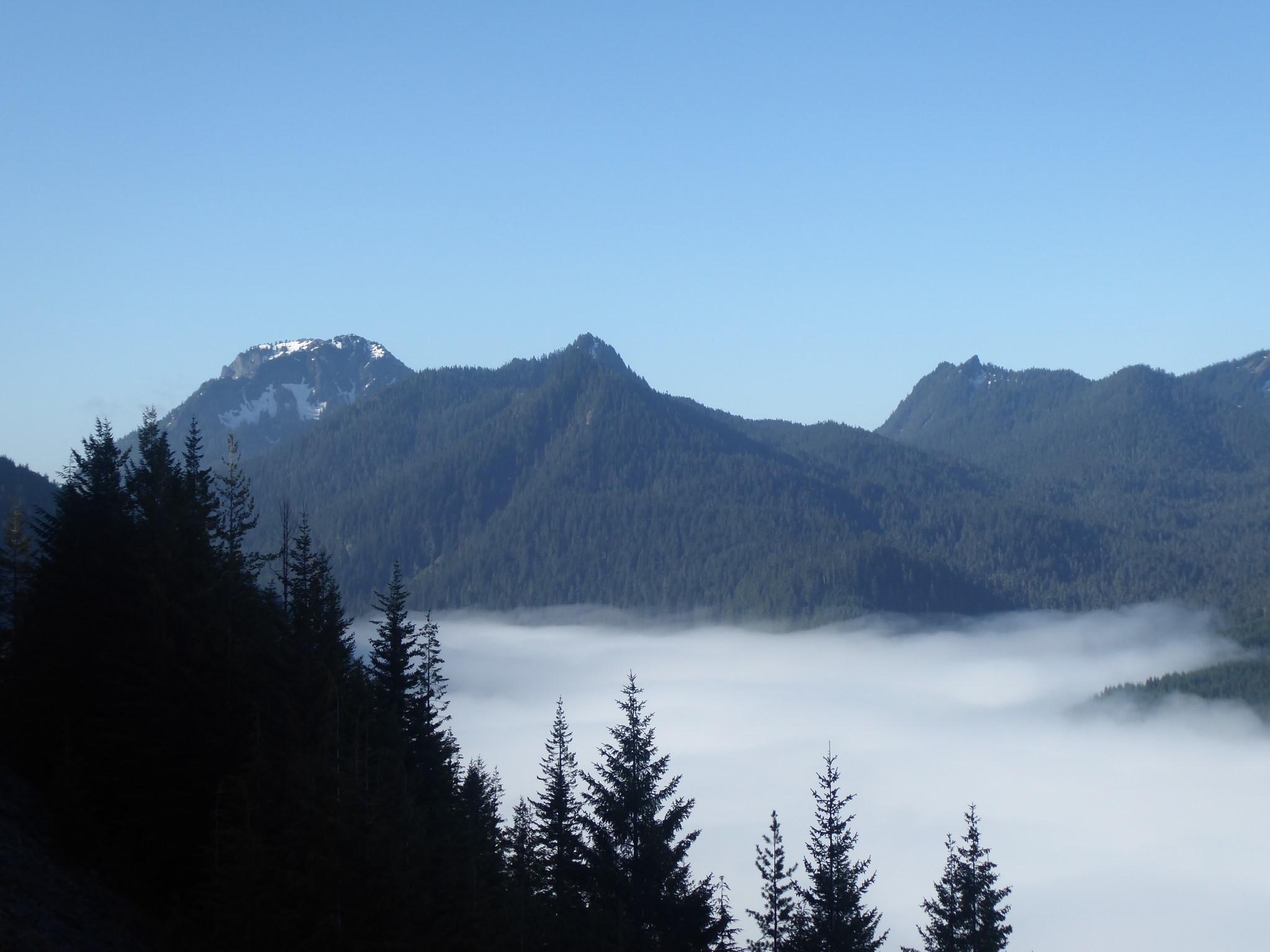
Expectations: exceeded. The road remnants are actually quite beautiful stone walls, mossy and tastefully irregular. It's unusual in a sad, romantic way. The failed ambition of a past century (the road was originally intended to continue all the way to Mowich Lake) gradually falling into ruin and being reclaimed by nature. In between the individual and group campsites (which are on opposite sides of the river) the very end of the road makes a perfect hangout and meal spot. To the east are dramatic peaks descended by waterfalls, while below you the river plunges into a gorge beneath the sturdily constructed bridge.
Most people arrive at North Puyallup River along the Wonderland Trail from Longmire or Mowich Lake, but for an overnighter it is more easily accessed via the Westside Road:
- The easy option is to bike the closed-to-cars Westside Road to Klapatche Point, then hike the 2.7 mile North Puyallup Trail. This last part follows a partially finished section of the road, which was never opened past Klapatche Point. It is pleasantly overgrown, with a narrow trail winding along the old roadbed and mossy retaining walls protecting periodic views over the river valley.
- The boring option is the same as the easy one, but without a bike so you have to walk the entire Westside Road. This is monotonous except for a half mile forested shortcut on the Round Pass Trail, which is not an option for cyclists (look for the turnoff on the right just before the Marine Memorial).
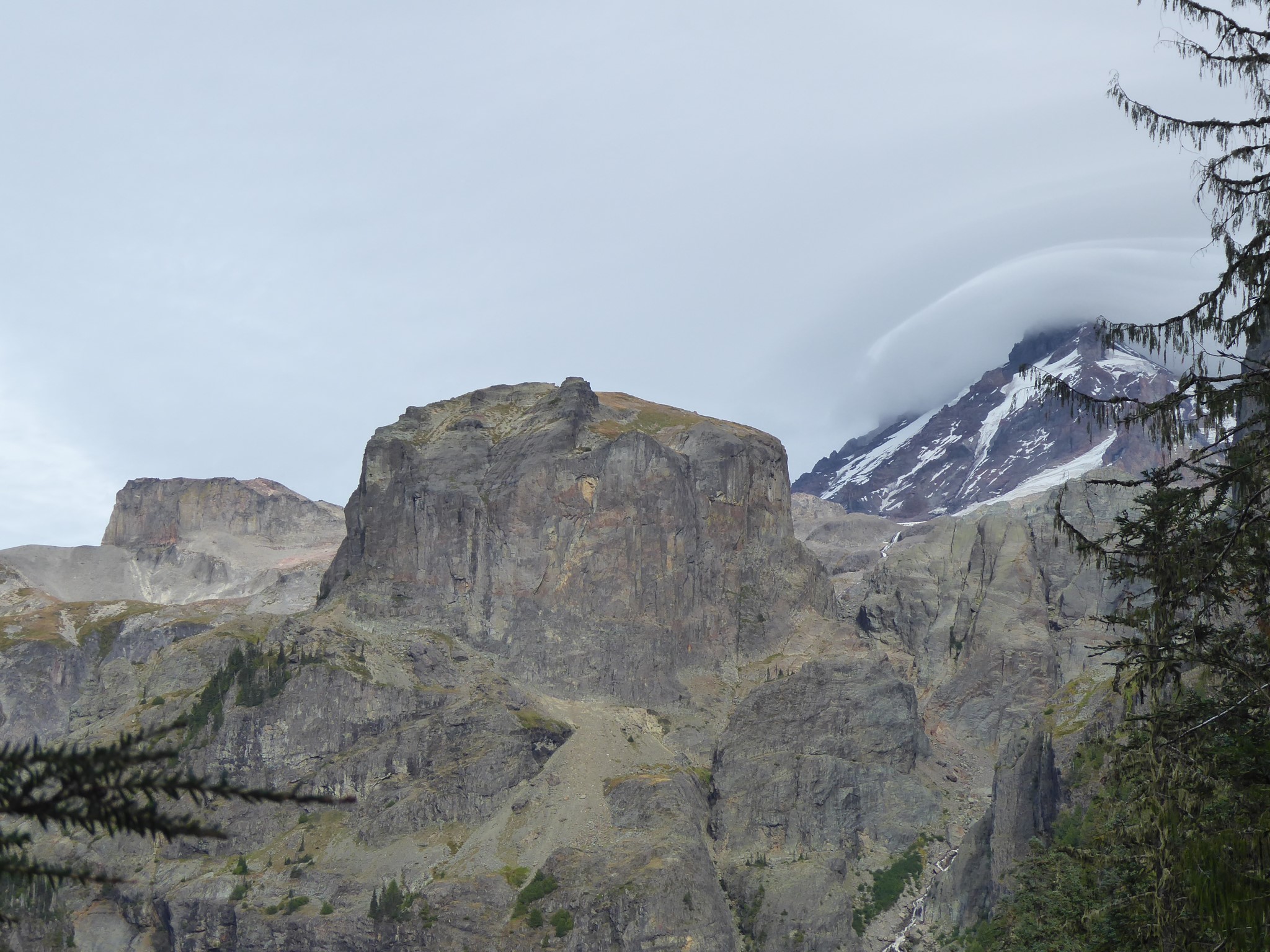
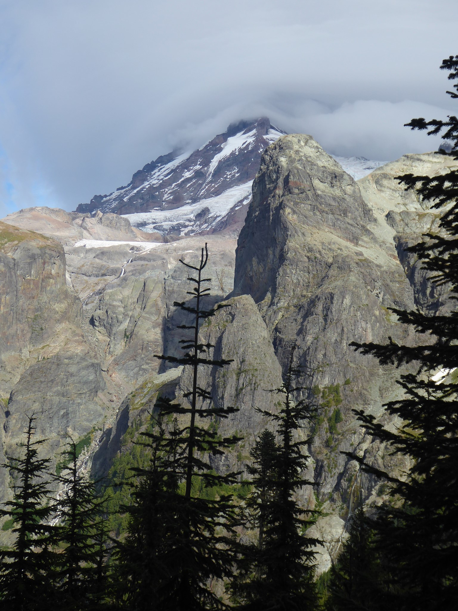
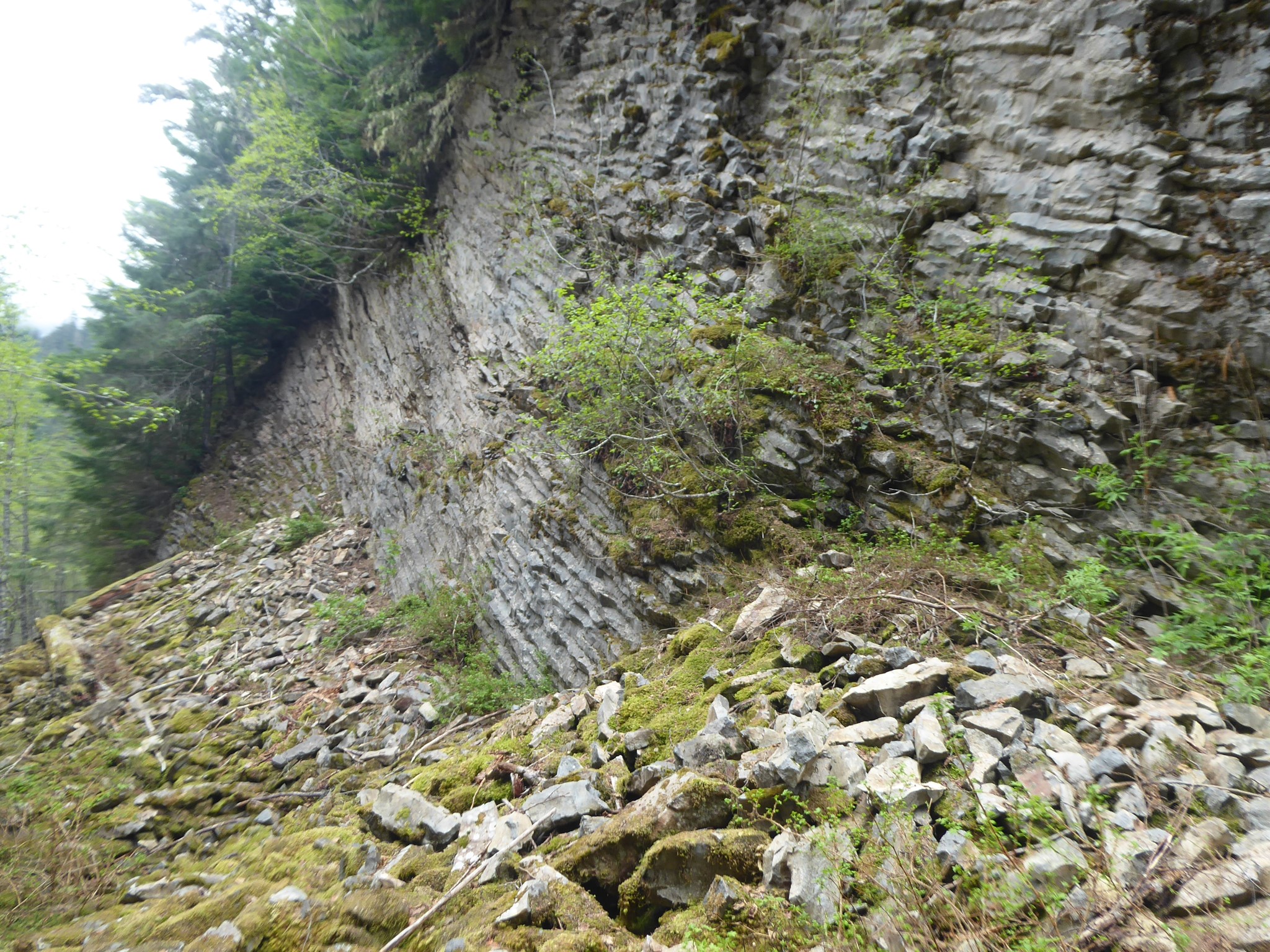
- The spectacular option is to turn off the Westside Road at Round Pass, cut across to the Wonderland Trail via South Puyallup Pipe Organ, then head north past Klapatche Park. This section of trail is peak alpine Wonderland: ridgeline views, meadows, and lakes with the curiously summitless western aspect of Rainier framed behind them. The descent from Klapatche Park to North Puyallup is a series of switchbacks with recurring views of some neat square-topped outcrops.
The statistics shown above are for a loop combining the second and third of these options.