|
Boundary Trail to Florence Peak Difficulty: strenuous and unofficial 7.6 miles Elevation gain: 3950' Max elevation: 5480' Camps: none First hiked by me: 2021 |
This is an unofficial route. Only come here if your navigation is up to the task, and practice Leave No Trace to avoid damaging fragile terrain.
This is a grouchy, cantankerous trail. Hikers from the Seattle area will know what I mean when I say it partakes of much the same spirit as Mailbox Old Trail:
- A ton of elevation gain in not that many miles.
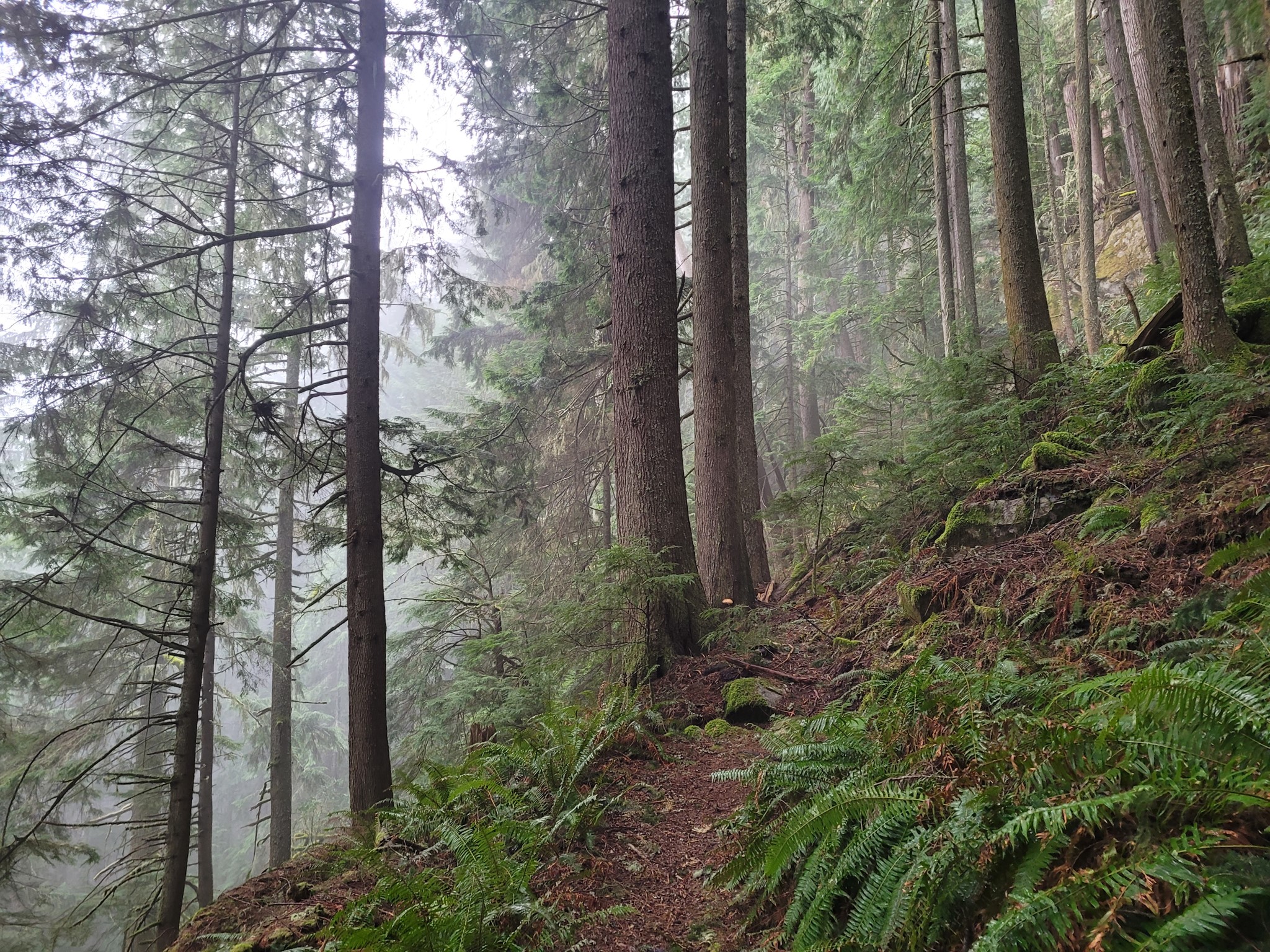
- Rough-and-ready ascent through forest with no views.
- The whole way up you'll be telling yourself things get easier after you make it to the ridge, but they don't really :-)
- Expansive views from the top.
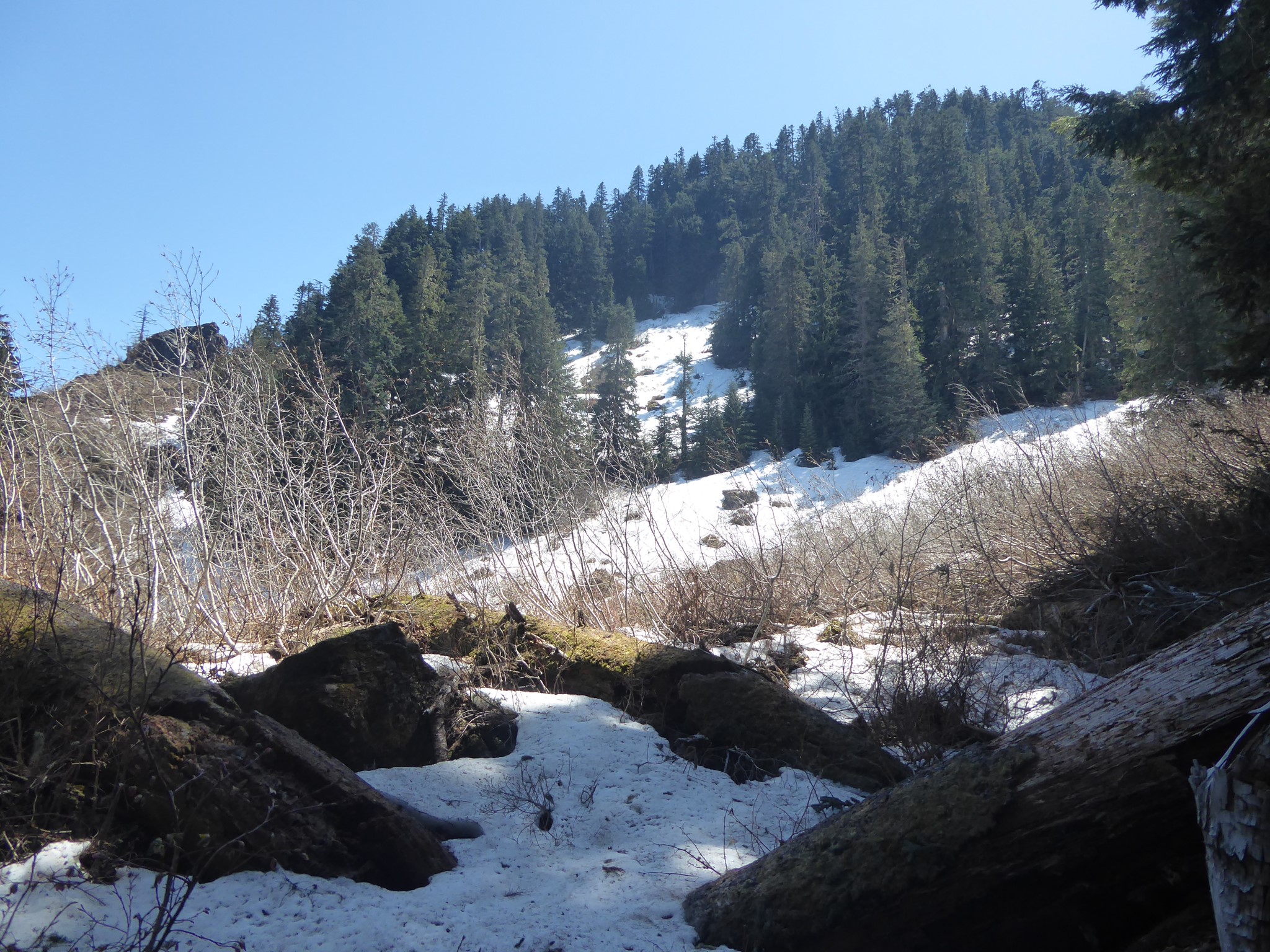
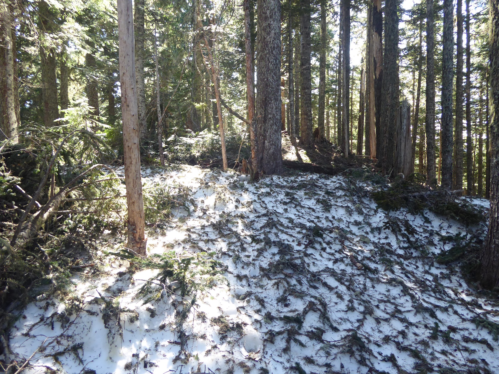
- Lower altitude trailhead and limited avalanche exposure make it a good off-season training hike, although there'll be plenty of snow higher up if you go outside of summer.
Hiking this trail was not strictly necessary to achieve my hike-all-maintained-trails-inside-Rainier-National-Park goal, because the maintained part of the trail lies outside the park, and even that is just a best effort by WTA volunteers. Much appreciation for the cleared blowdowns and occasional steps, but the roughness of this unofficial trail really makes me appreciate what a great job the MRNP trail crews do elsewhere!
The Boundary Trail starts from halfway around the Carbon River Rain Forest Nature Trail, right by the Carbon River entrance. Once upon a time this used to follow the park boundary south all the way to Mowich Lake Road, and some maps still show more southerly pieces of the trail, but most of it has fallen into disrepair. The section from Carbon River to Alki Crest, however, is clear and easily followed.
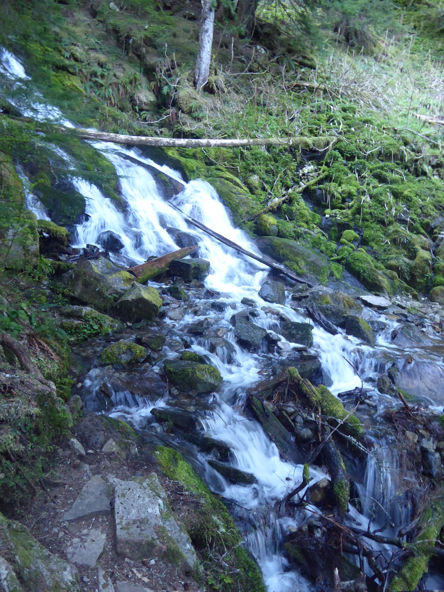
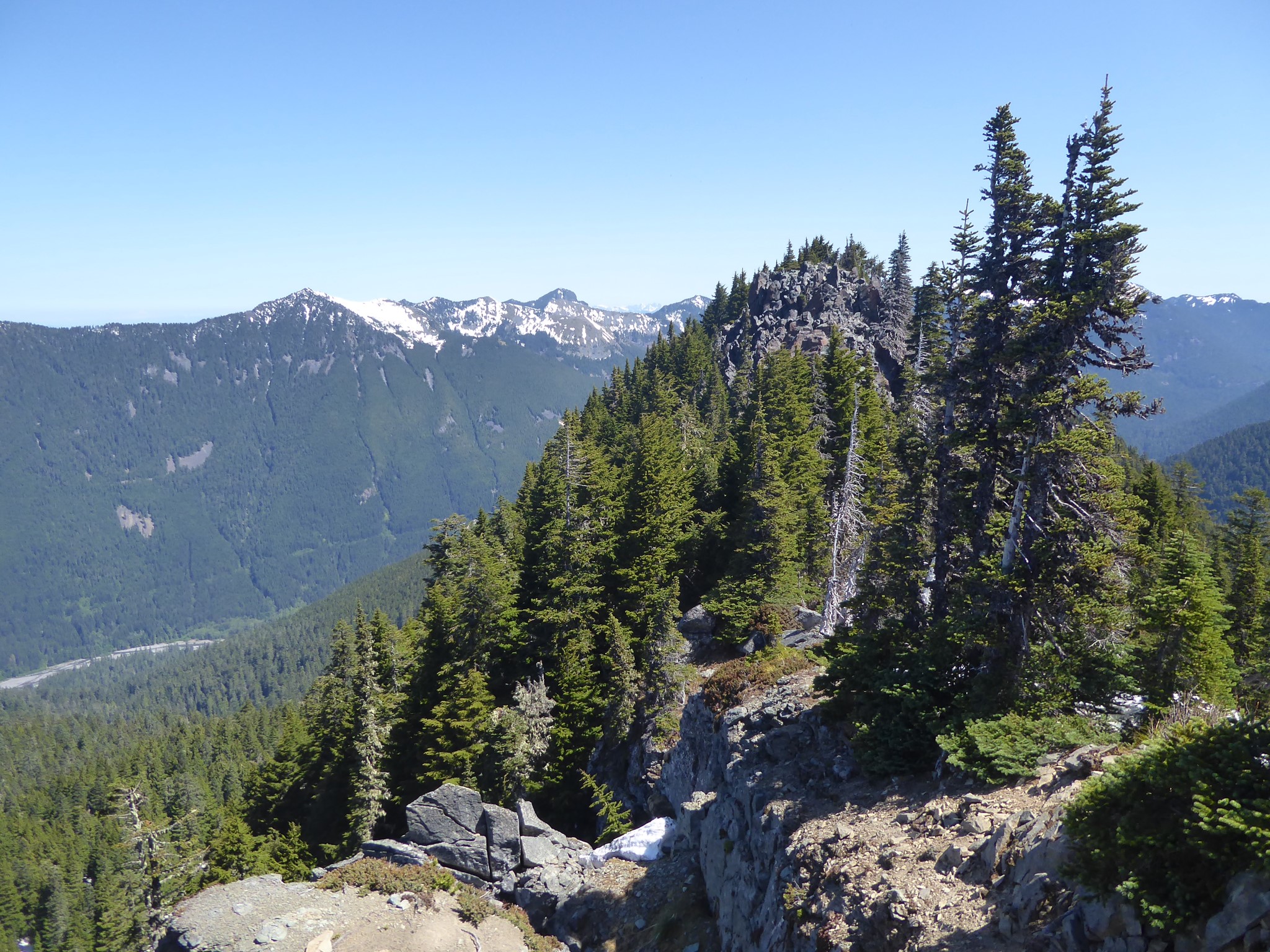
After 1.3 miles and 1250' gain, you'll cross a stream immediately below one waterfall and above another. Don't slip here! Keep on climbing, and at 2.4 miles (2780' gain) you will arrive at Alki Crest. The crest is a disappointing nonevent, as you've climbed so far yet the view is only trees. The Boundary Trail continues south, downhill past the crest before petering out (a route that once connected through to the West Boundary Trail), but instead you should turn left at the high point onto the extremely unofficial and unsignposted Florence Peak trail. This heads southeast along the mostly forested ridge of Alki Crest, past a couple of deceptive surely-this-is-the-summit-nows, to...
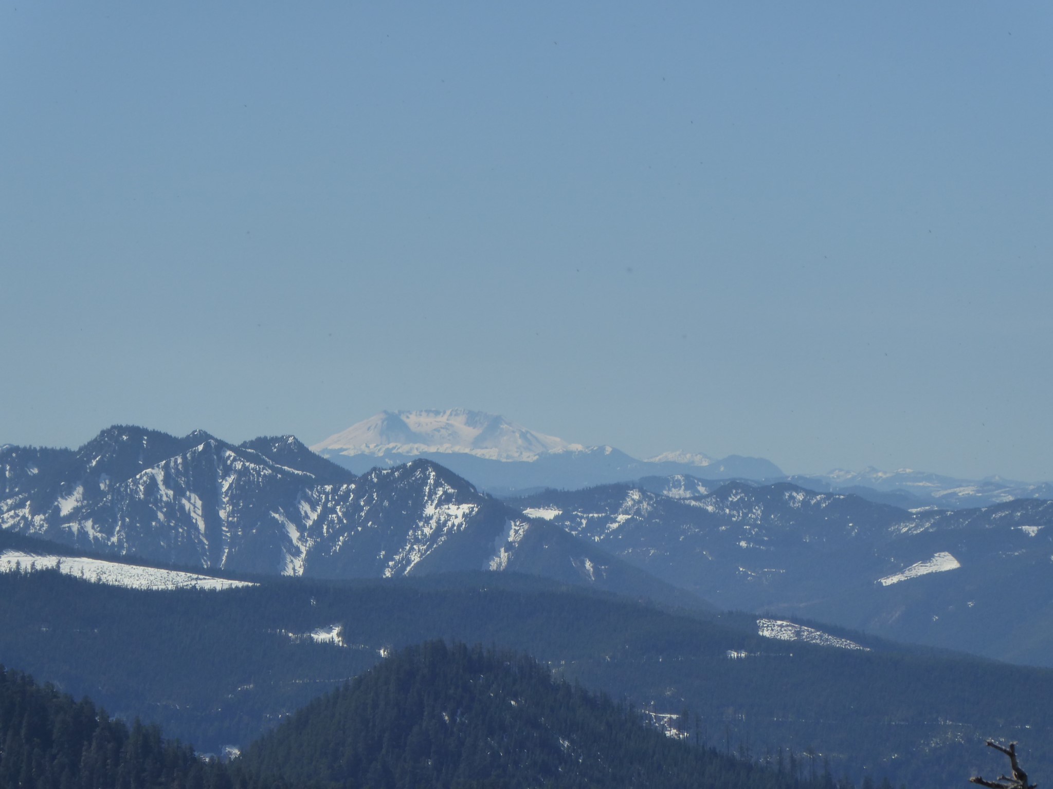
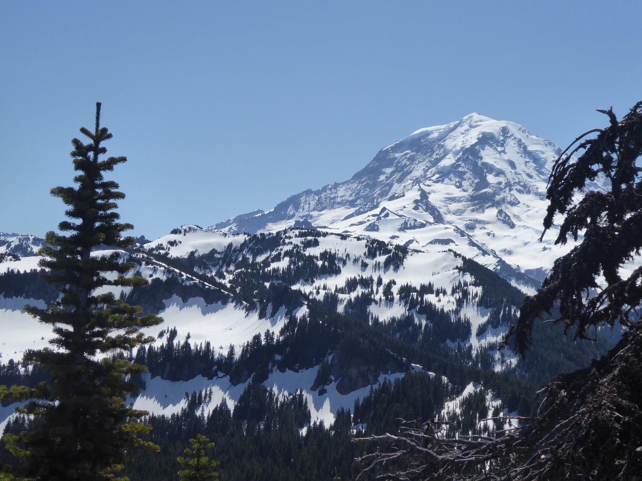
... another false summit! Finally, after so much work, views open up. Carbon River to the north, so far below you. Rainier, of course. Mount St. Helens. This is a high enough spike of rock that all directions have interesting things to look at.
The true summit of Florence Peak is a short scramble further, but I opted to call it a day at the no-climbing-required false summit.
Alki means 'by and by' in the Chinook Jargon.