|
Mowich Lake (snowshoe) Difficulty: moderate 10.4 miles Elevation gain: 1420' Max elevation: 5000' Camps: Mowich Lake First hiked by me: 2020 |
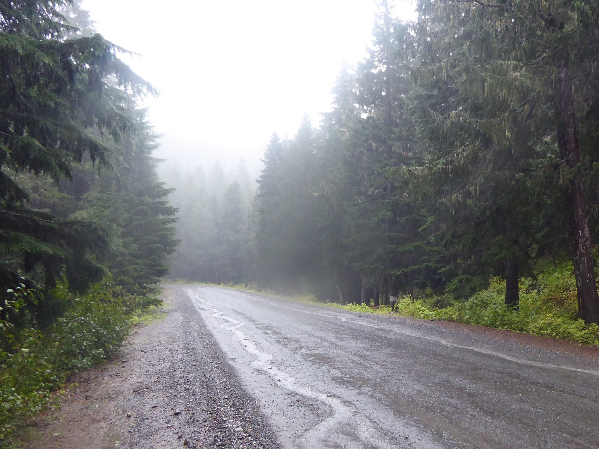
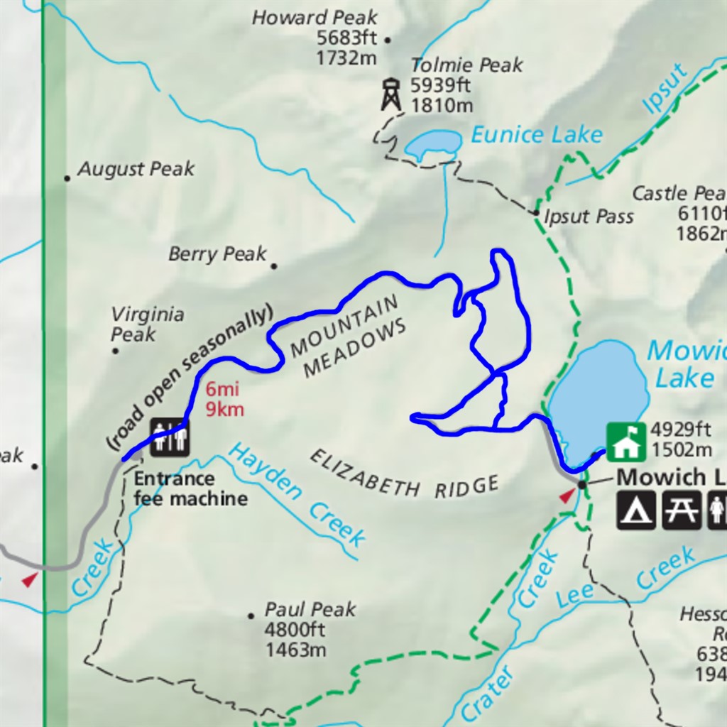
Driving along the dusty, potholed Mowich Lake Road is by far the least fun aspect of hiking to Spray Park or Tolmie Peak. And I gotta be honest, when the road is closed for winter so you decide to hike up it instead, that's pretty much a slog too :-) It's long, relentlessly uphill, and lacks views most of the way.
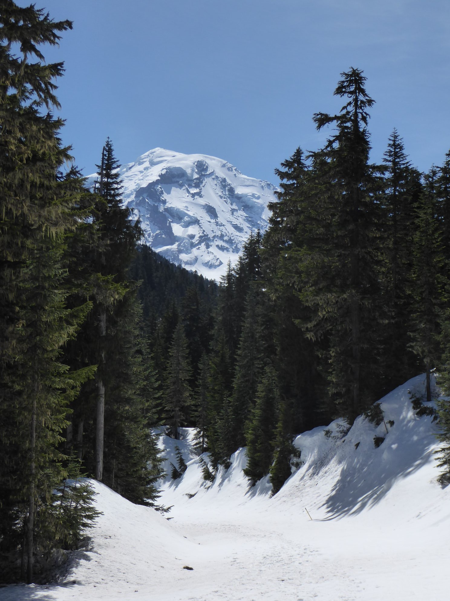
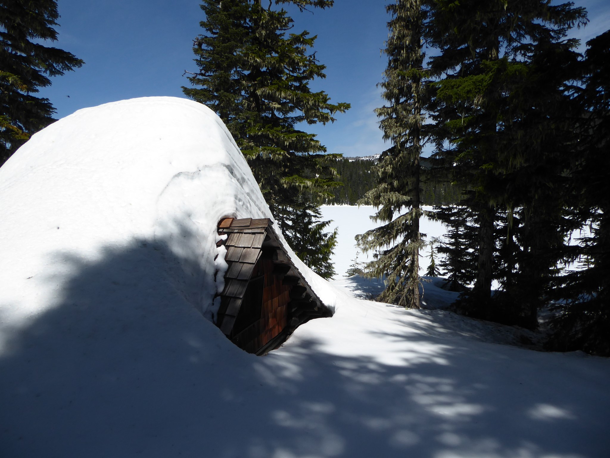
On the plus side, though, hiking this road in snowy conditions allows you to visit Mowich Lake at times of year when it is otherwise inaccessible. I loved having solitude at what is normally a bustling campground, and seeing the patrol cabin and toilet building buried almost to their rooftops.
Mowich means 'deer' in the Chinook Jargon.
The length of this hike depends on how far you are able to drive before reaching the snow. Check recent WTA trip reports before you go, or if there are none, take a chance and then report back for the rest of us!
The Grindstone Trail is an optional shortcut that skips two major road switchbacks, replacing 1.9 miles of road with 0.8 miles of forest. It may not be easy to find in snowy conditions, although there are regular orange markers attached to trees along the route.
In years with earlier than average melt, Tolmie Peak may become accessible before Mowich Lake Road opens to cars, in which case hiking or biking up the closed road is a way to beat the crowds and enjoy some fire lookout solitude.