|
Panorama Point and Skyline Trail Difficulty: moderate 6 miles Elevation gain: 1850' Max elevation: 7040' Camps: none First hiked by me: older |
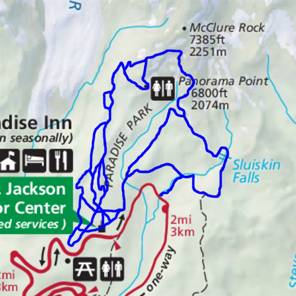
Only one of the network of paths above Paradise is officially named the Skyline Trail, but I view them all as combining to form one big multiple-choice hike. You start at Paradise, pick one of several options heading uphill to the viewpoint at Panorama Point, then choose a different route back down, making a loop. This can be repeated many times without going the exact same way twice.
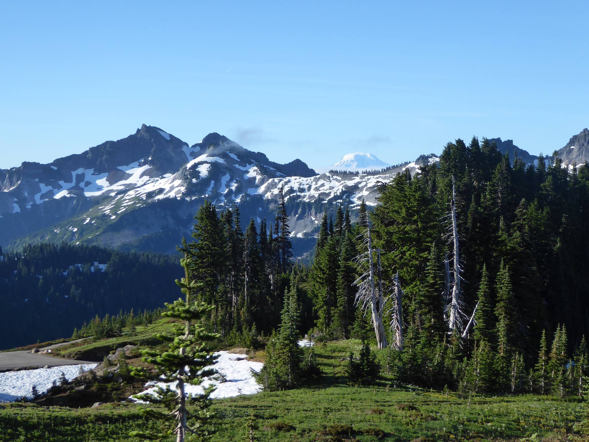
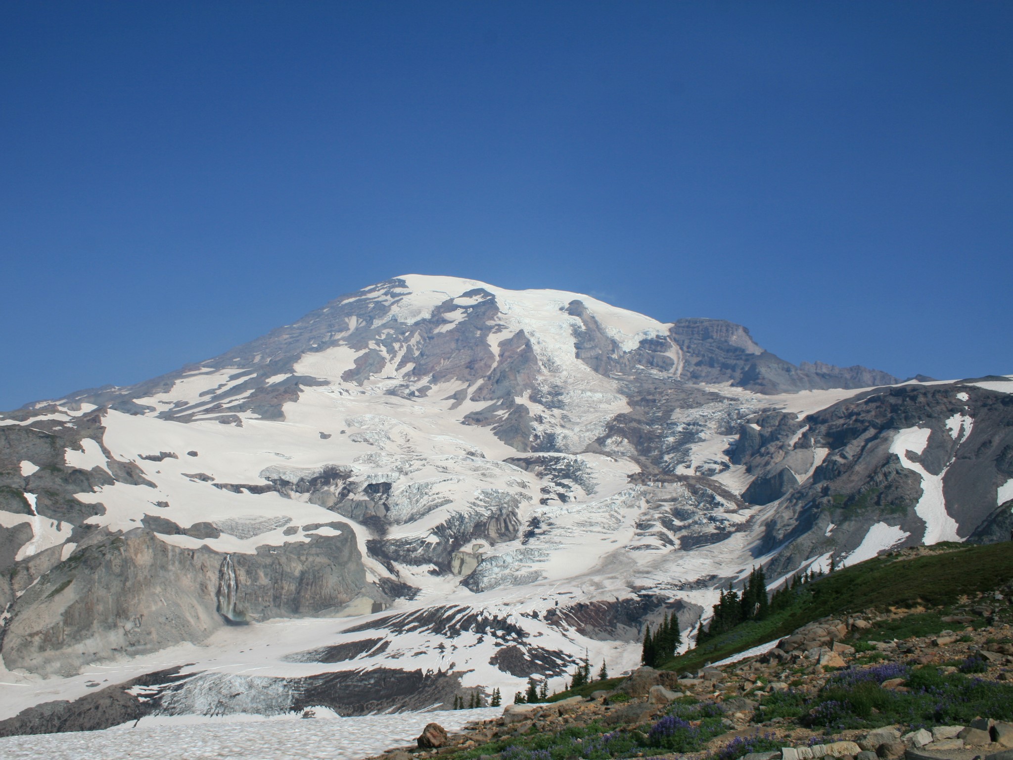
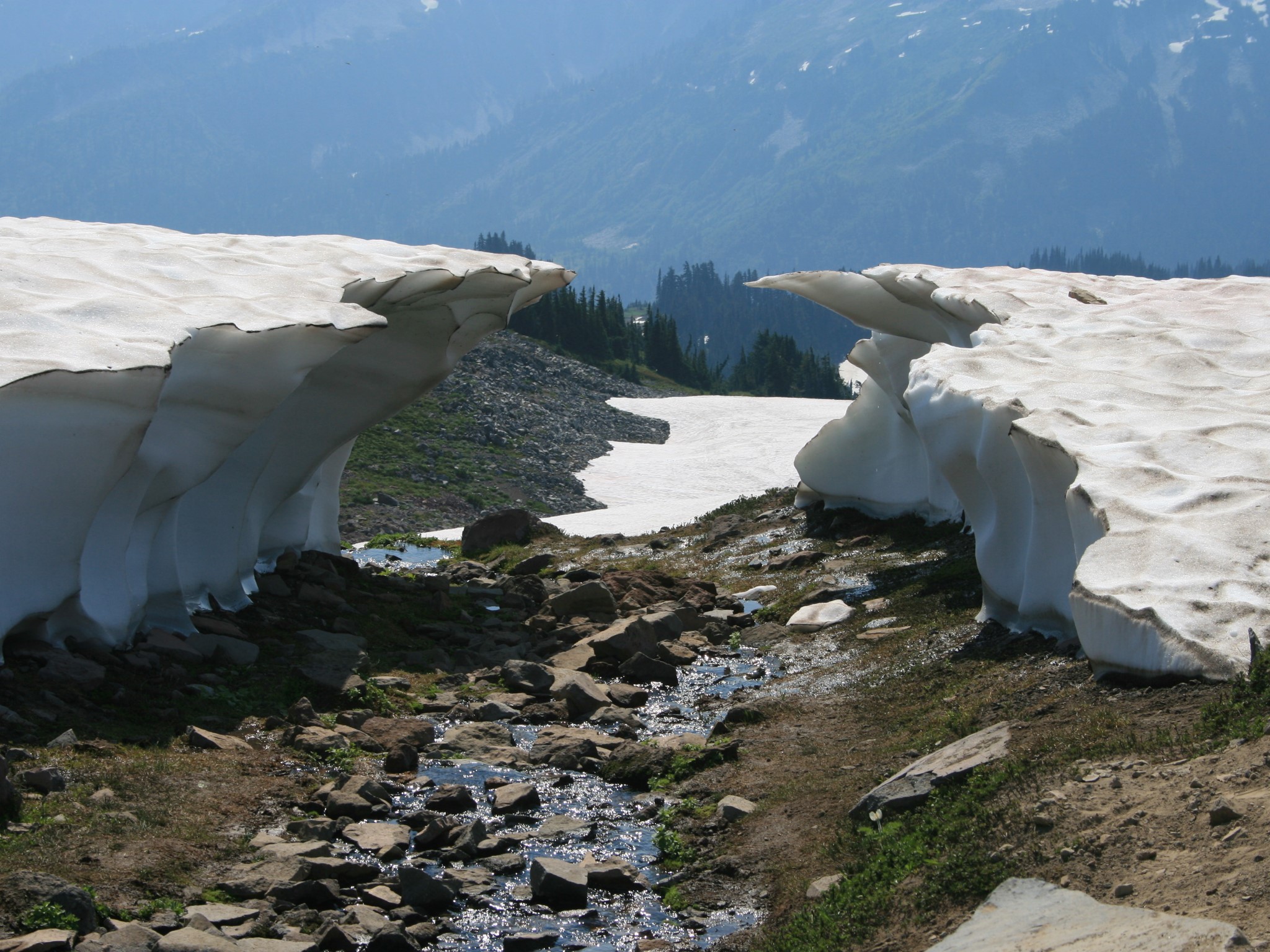
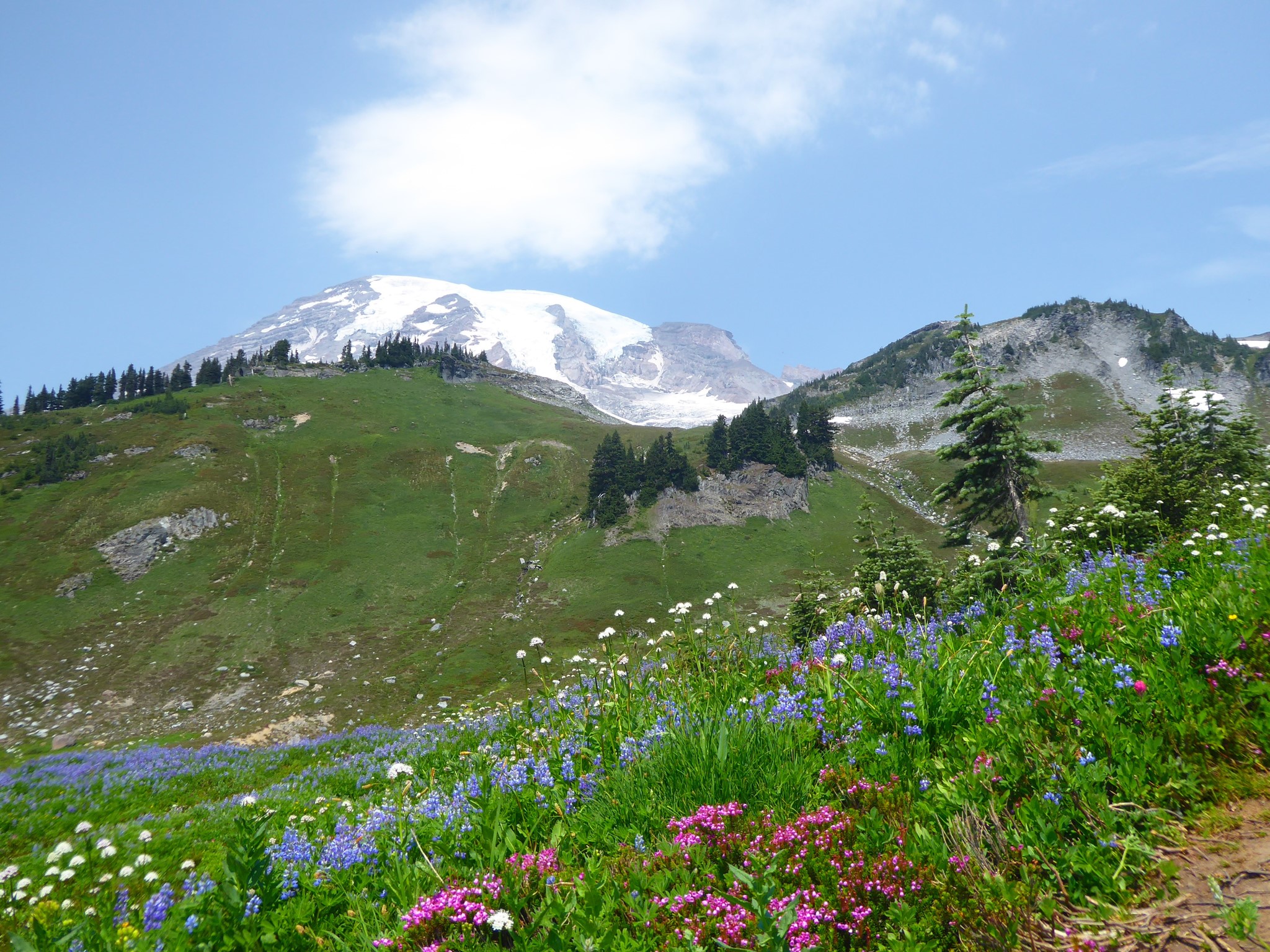
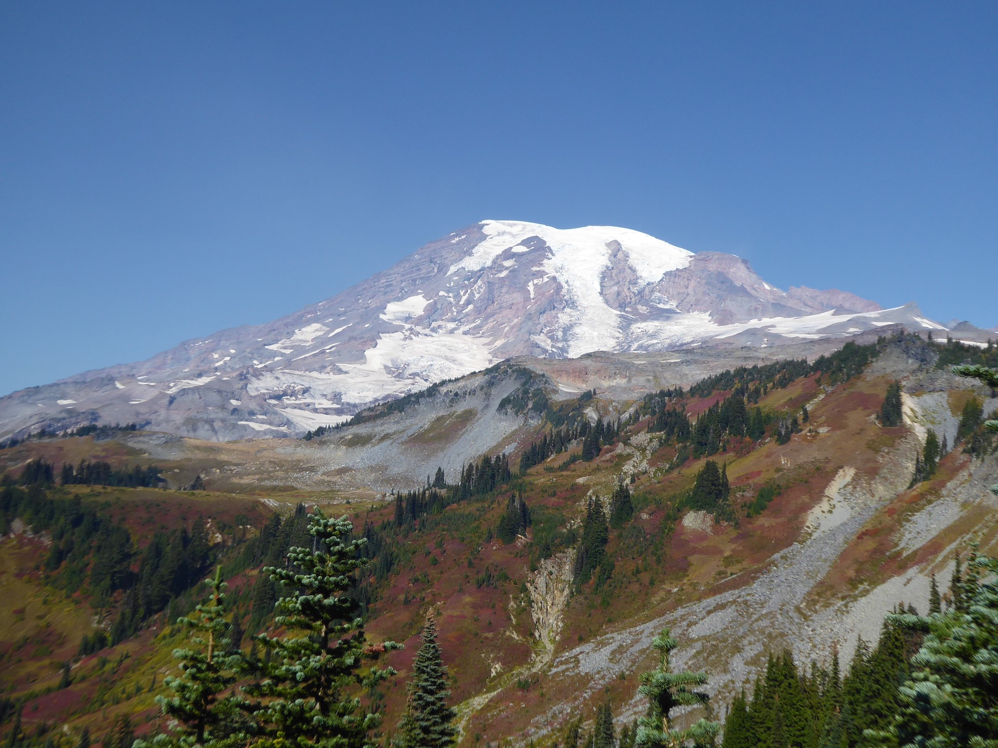
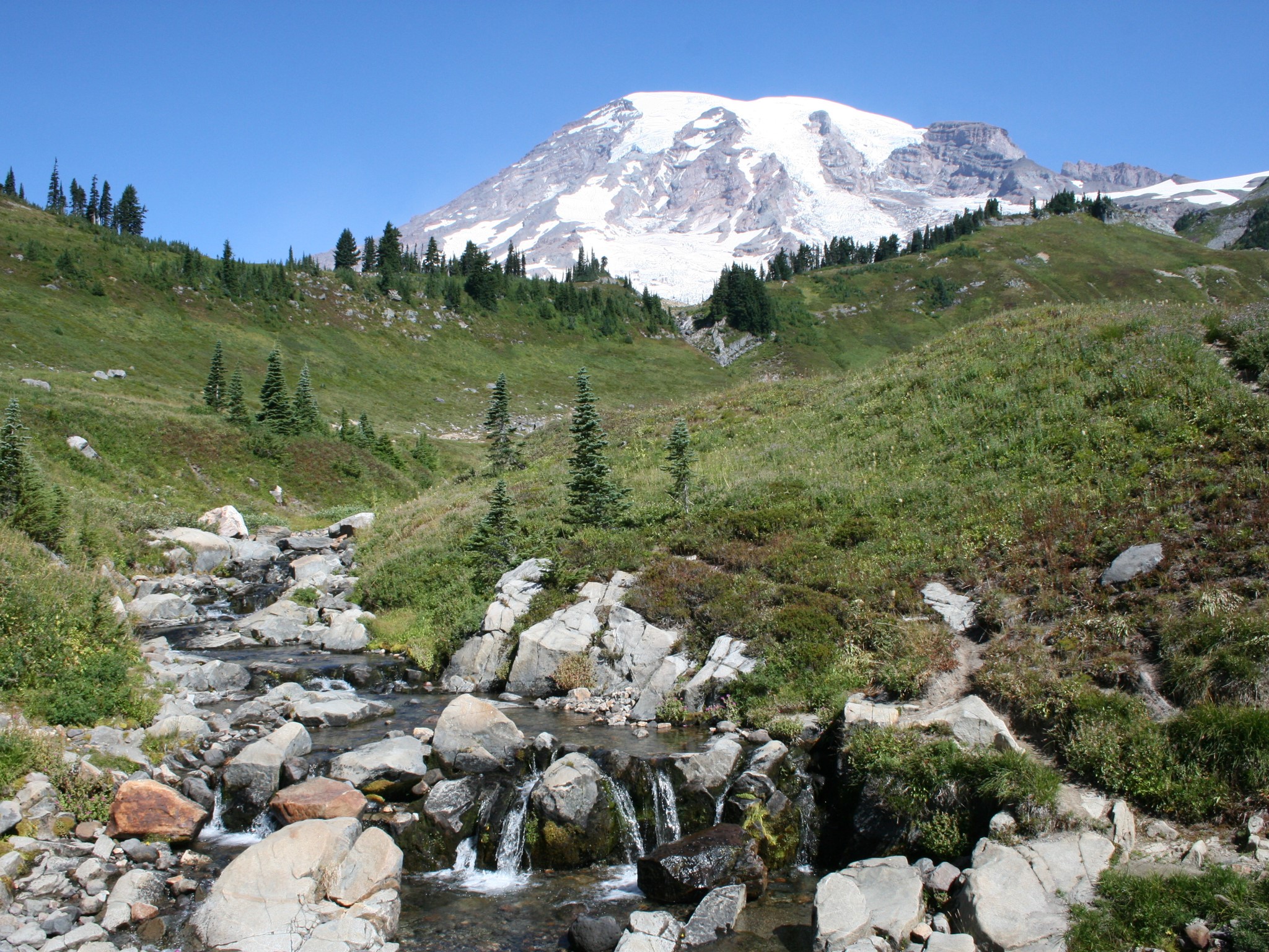
This area is a riot of wildflowers during the summer. It's all above the tree line, so in-your-face views of Rainier's summit start before you've even left the parking lot. You'll also see the Tatoosh Range to the south, the Nisqually Glacier and river valley, a couple of waterfalls, the occasional climber with ice ax strapped to their pack (this is the start of the most popular summit route), and other hikers. So many other hikers! I am clearly far from alone in thinking this trail is great :-)
I'll describe the main route choices going clockwise, but of course this loop can be hiked in either direction.
The first half mile of trail is paved, and usually full of small children enjoying their first hike. As you head north from Paradise, you can optionally detour to the right over the top of a knoll called Alta Vista, and/or a little further up detour to the left (signposted Glacier Vista) for a tasty overlook above the Nisqually Valley.
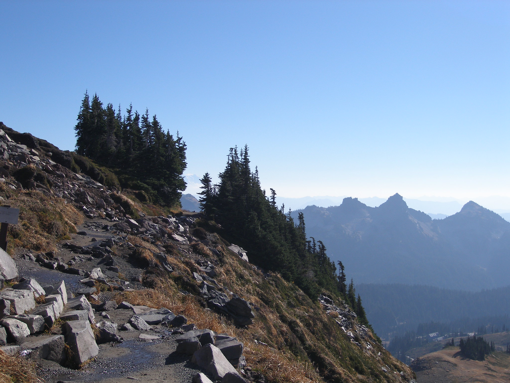
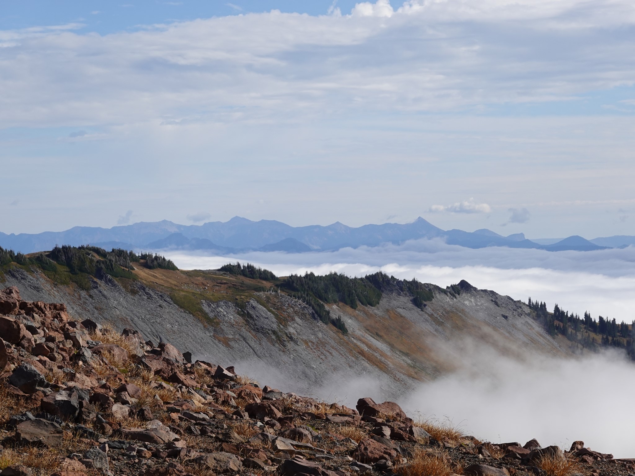
After a mile and a half the trail bends sharply to the right and traverses diagonally up a slope. There's a turnoff to the left signposted Pebble Creek, which bypasses Panorama Point as a shortcut to the top of the High Skyline. Ignore it, and continue a quarter mile to Panorama Point. At 6750' elevation, this exposed viewpoint offers, well, panoramic views? (sorry but it had to be done) of the Tatoosh Range, and on a clear day also the distant volcanoes Mount Adams and St. Helens. It's a perfect spot for lunch.
Tatoosh means 'nourishing breast' in the Chinook Jargon.
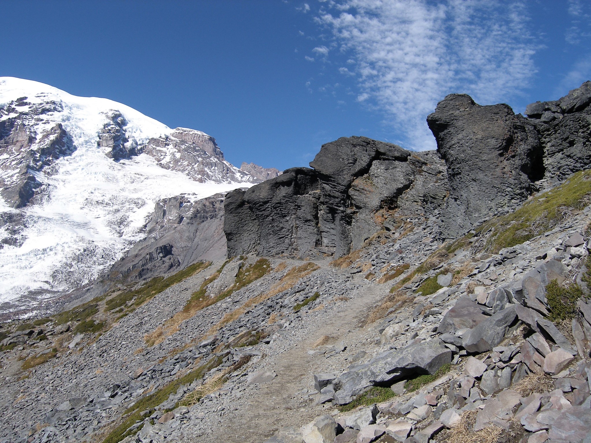
Past Panorama Point, the High Skyline trail heads north, then east, then back south again. Just don't keep walking north forever, or you'll end up at Camp Muir! It's called the High Skyline because there used to be a Low Skyline alternative route here, which the park has closed due to safety concerns (it crossed a steep slope that remains snow covered until late in the season).
After passing the junction where the High Skyline rejoins the now-closed Low Skyline trail, head downhill to the south before arriving at one last decision point: turn southwest along the Golden Gate trail for the shortest route home, or southeast, remaining on the official Skyline trail, for a longer hike passing near the inaccessible Sluiskin Falls (which can be viewed from the road but not reached by trail). Shortly before the falls comes the option of further extending your hike by adding in the Paradise Glacier trail.
Near Sluiskin Falls, a bench marks the area where Sluiskin, a Taidnapam guide, waited while Hazard Stevens and Philemon van Trump made the first documented summit of Mount Rainier in 1870. I find many accounts of this tale uncomfortably racist, as they infantilize the 'superstitious' fear with which Sluiskin warned of the powerful guardian who dwelt on the summit in a lake of fire, and the astonishment with which he greeted the climbers on their successful return. It sounds to me like Sluiskin was sensibly worried that these visitors were taking risks which he understood better than they did, not to mention the likelihood that he'd be blamed if he returned without them!
The Golden Gate and Skyline options rejoin shortly before Myrtle Falls, after which the paving resumes, crowd density increases, and it's a gentle stroll back to Paradise.
This loop can also be accessed via the 0.25 mile 4th Crossing trail, which connects the Paradise Valley road to the Skyline in between Myrtle and Sluiskin Falls. It's a nice quiet trailhead if you want to avoid the chaos of Paradise proper.
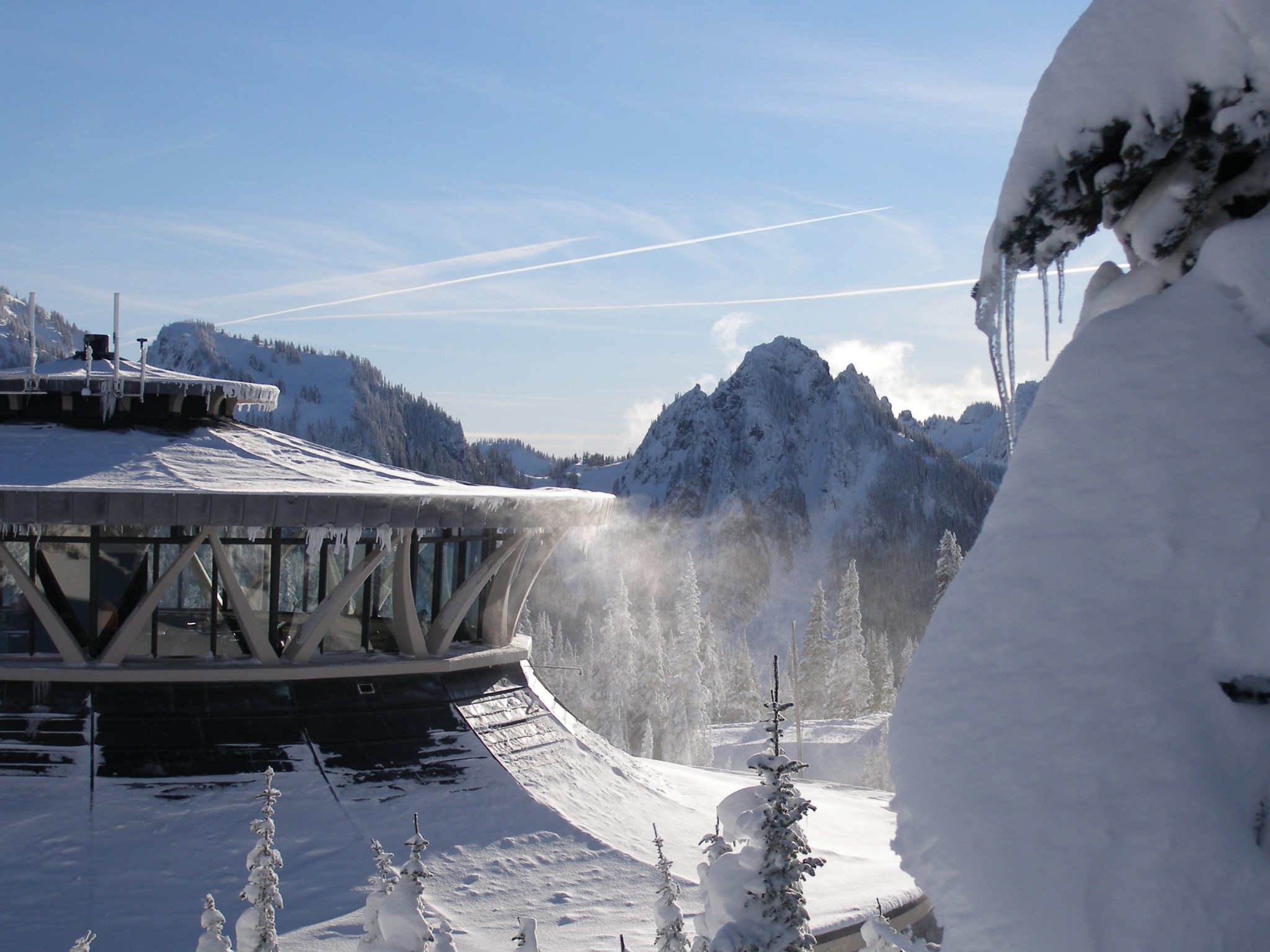
This area provides gorgeous snowshoeing during winter, but beware of avalanche risk on the steeper slopes.