|
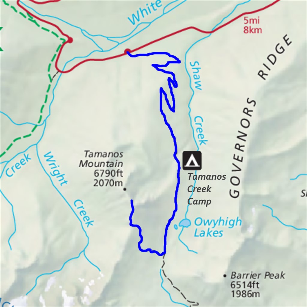
Tamanos Mountain Difficulty: strenuous and unofficial 9.9 miles Elevation gain: 3180' Max elevation: 6700' Camps: Tamanos Creek First hiked by me: 2021 |
This unofficial route extends the Owyhigh Lakes from White River Road or Owyhigh Lakes from Deer Creek trails, adding a couple more miles, another 1370 feet elevation gain, and some stunning views. The figures shown above are approaching from White River Road (the easier option).
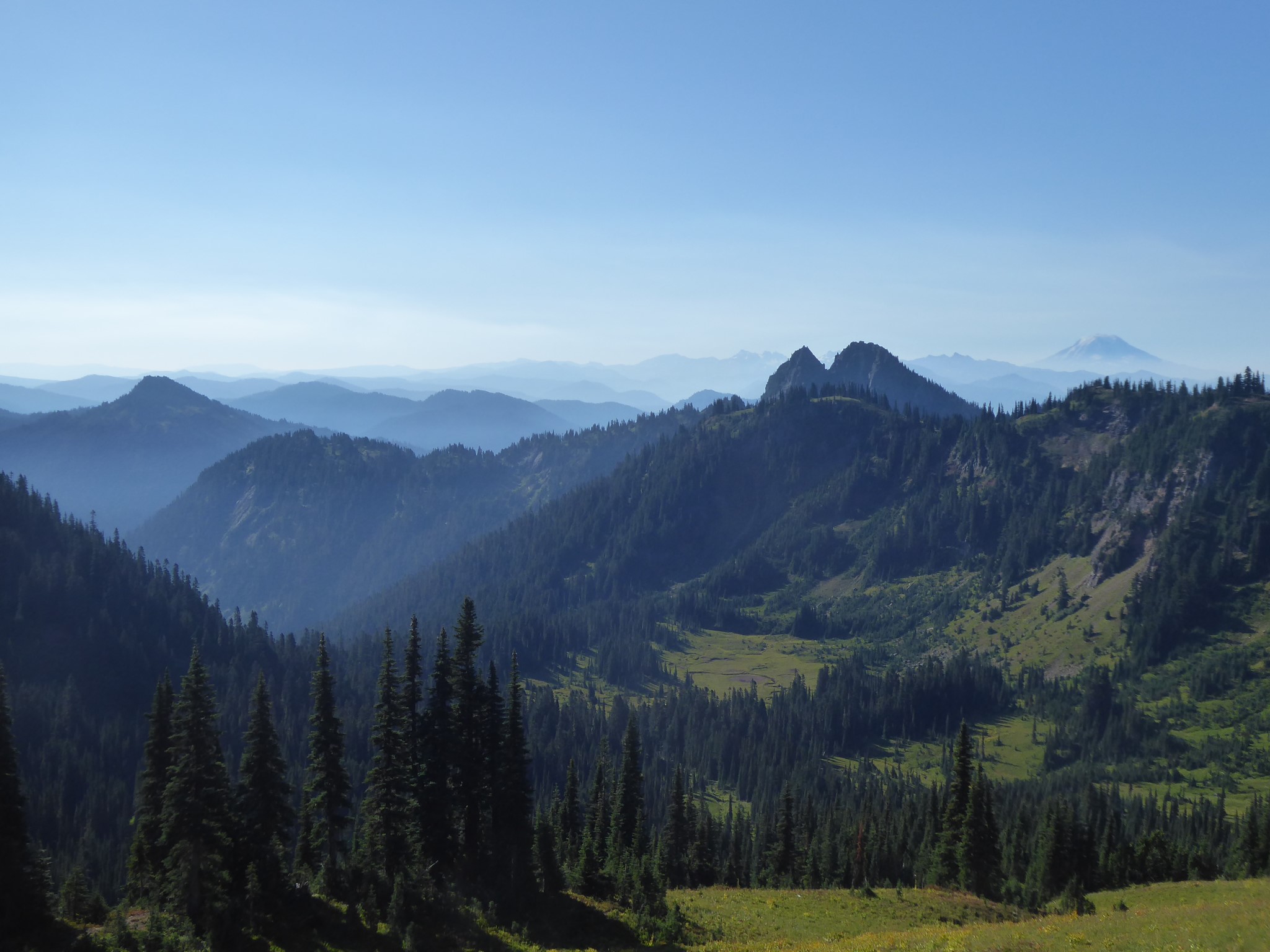
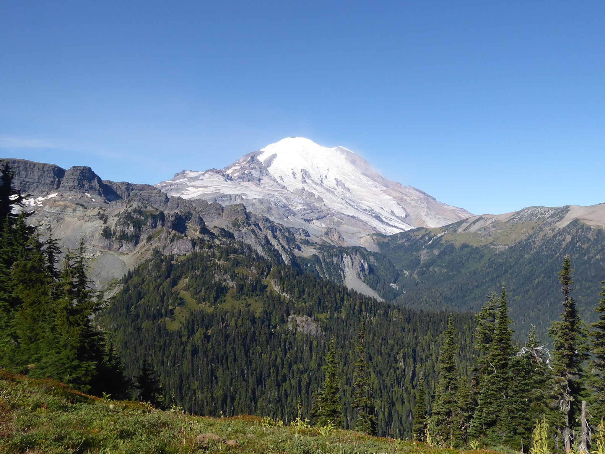
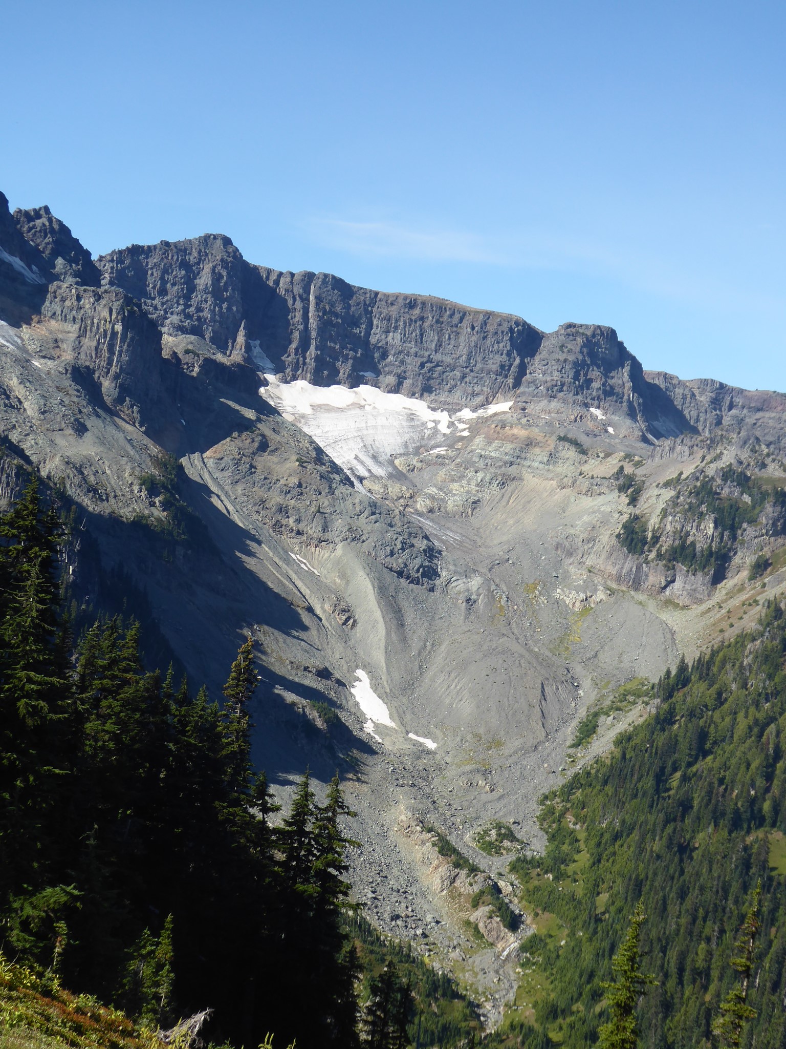
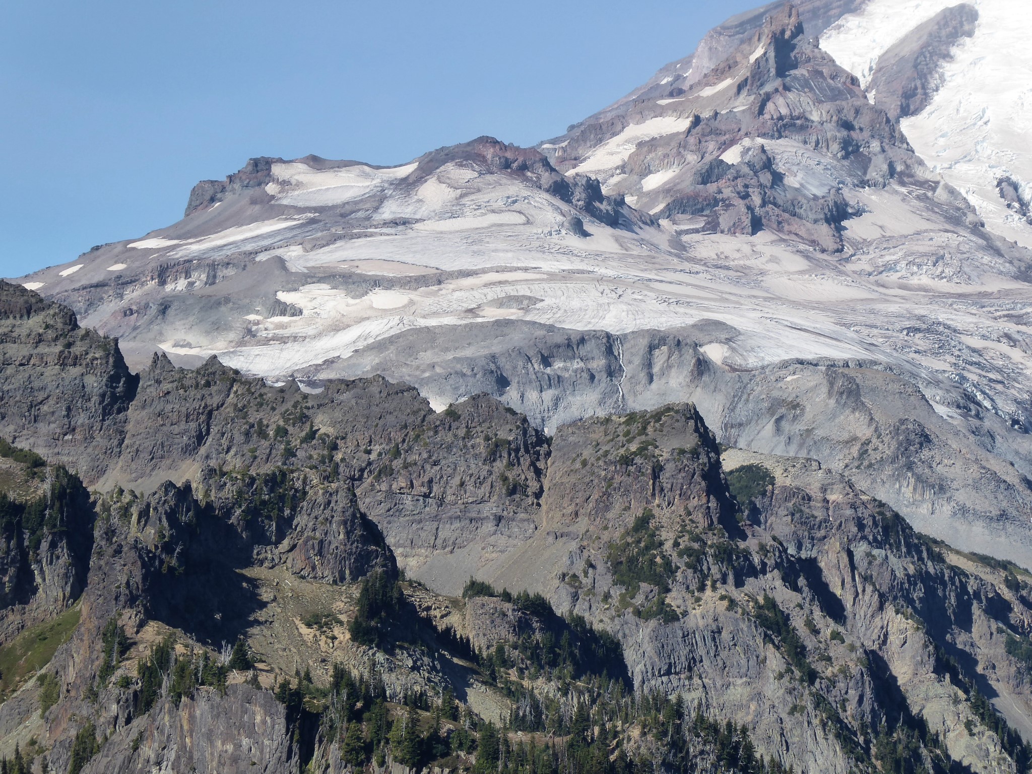
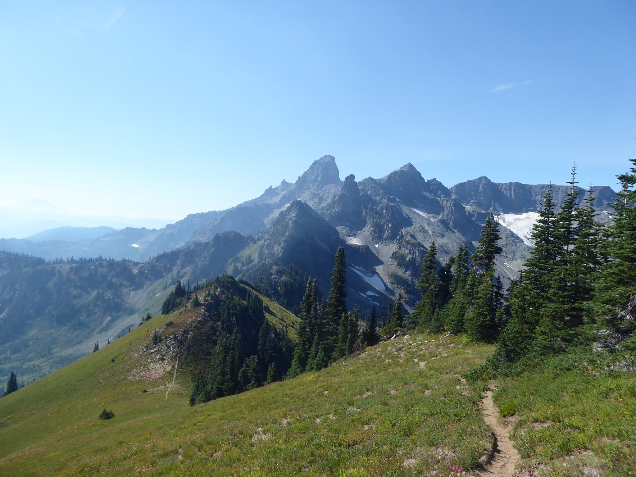
An unsignposted turnoff to the west of the Owyhigh Lakes trail is found a short distance south of the lakes. From here the path climbs steeply up an open slope, eschewing switchbacks. Don't forget to turn around at regular intervals to enjoy views of the Cowlitz Chimneys and south to Mount Adams. Upon reaching a saddle below the summit of Tamanos Mountain, a unique view of Rainier appears, with Goat Island Mountain to the right, the valley of Fryingpan Creek center stage, and Banshee Peak and the Sarvant Glacier on the left.
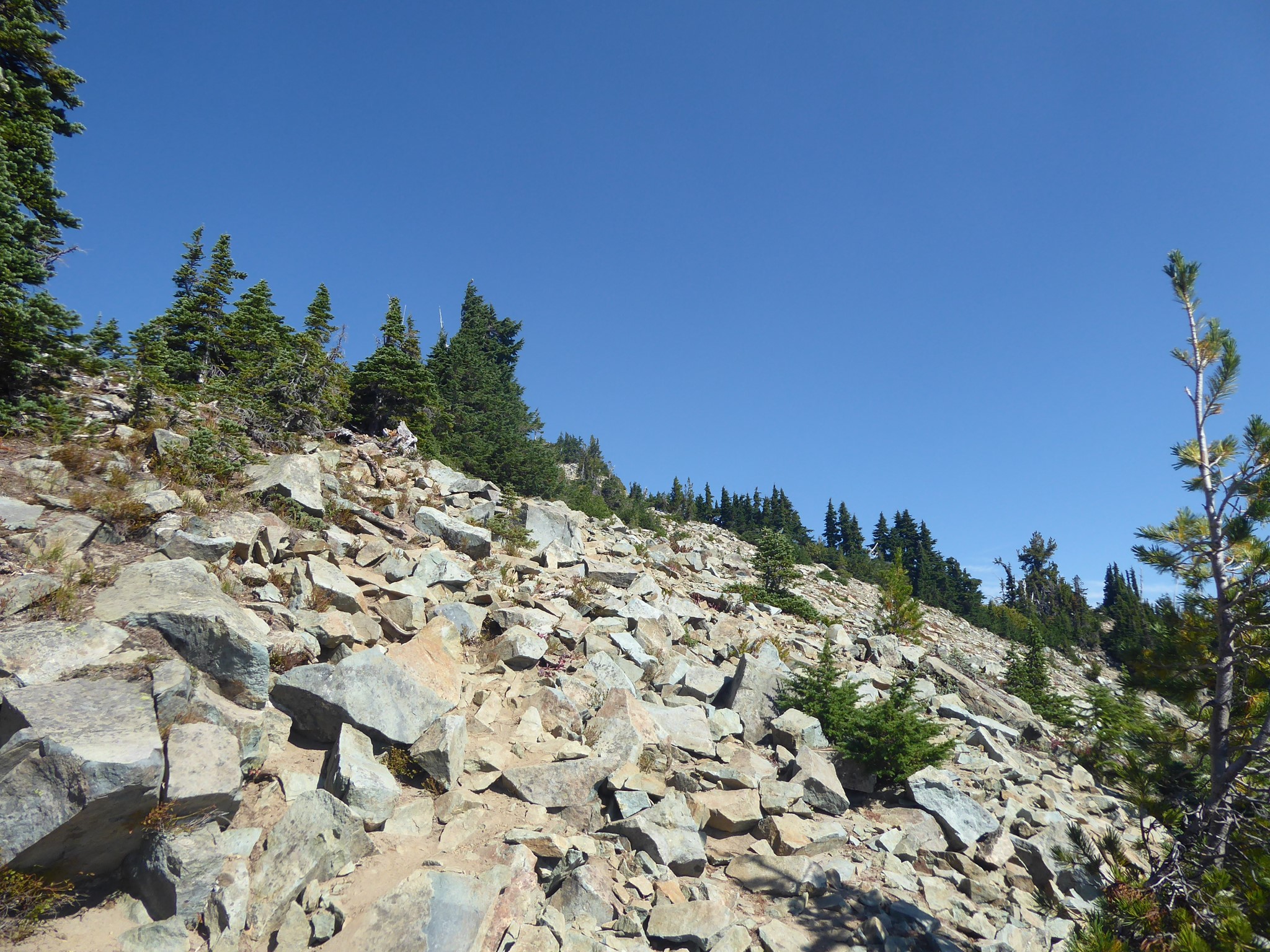
The saddle would be a fine place to turn around, or you can turn right and ascend a ridge to the summit of Tamanos Mountain. This starts out wide with a trail of loose dirt and dust, then turns rocky, and near the summit becomes a scramble with exposure beyond my comfort level, so I turned back a little before the top.
This trail is becoming eroded due to increasing popularity bringing more visitors than an unmaintained bootpath can properly support. Hiker feet have compacted fragile meadow soil, which then became a water drainage and created deep gullies. People are now starting to walk alongside rather than in these gullies, creating new paths that will repeat the same cycle, eventually turning a hillside of wildflowers into a maze of eroded footpaths.
There is an ongoing debate in Pacific Northwest hiker circles about how to deal with damage caused by the increasing popularity of hiking. Some argue that hidden gem routes should be kept secret, to avoid their overuse and subsequent destruction. I am firmly in the camp that believes information should be shared, yet I must admit I had some qualms about hiking and then documenting this particular route. Ultimately I see several possibilities, ideally used in combination, that would result in it being better cared for:
- Trail crews could agree to maintain this excellent trail, giving it a more reasonable grading and drainage control.
- We can visit it less. I feel good about having hiked this route once, but it's not a place I will choose to revisit often or bring large groups of friends to see.
- When hiking here, we can be extra careful to minimize our impact. Step on rocks rather than dirt wherever possible, don't create new paths even where the established one is inconvenient, etc.
Tamanos means 'guardian spirit' in the Chinook Jargon.