|
Glacier View Wilderness Difficulty: moderate 2-3 days 14.6 miles Elevation gain: 3160' Max elevation: 5110' Camps: Lake George, various inside the Glacier View Wilderness First hiked by me: 2022 |
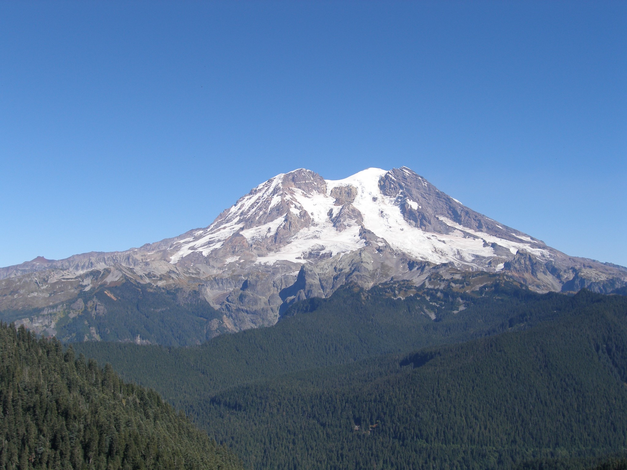
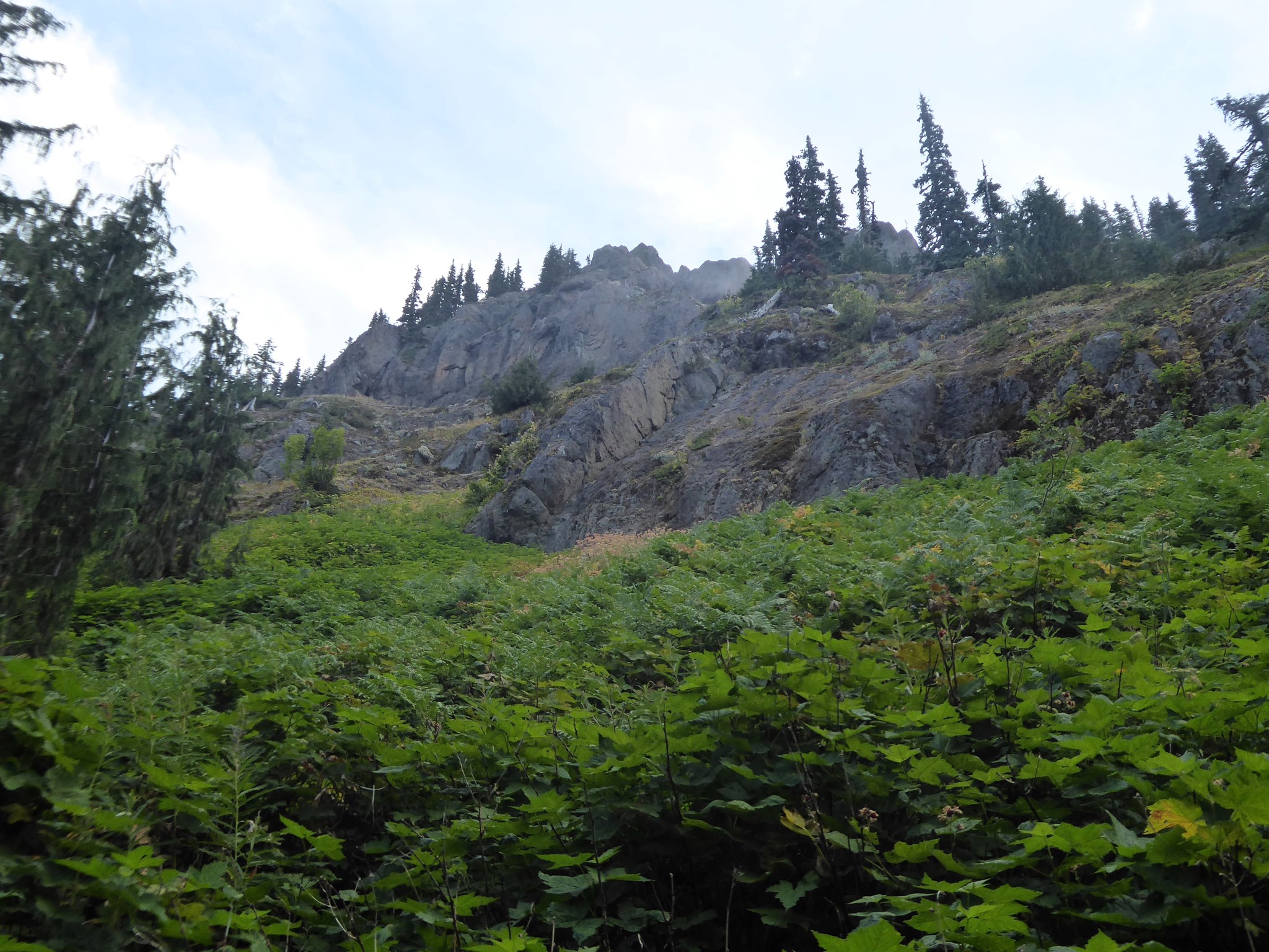
The Glacier View Wilderness is 3,078 acres of National Forest land to the west of Mount Rainier National Park, which was added to the federal wilderness system in 1984. It's mostly forested terrain broken up by lakes, ridges, and a couple of rocky outcrops known as Glacier View and Mount Beljica.
Historical aside: Mount Beljica is named after the children of the Mesler and LaWall families who climbed it in 1897: Burgon, Elizabeth, Lucy, Jessie, Isabel, Clara, and Alex. I've failed to find any information about its earlier native name.
Being outside the National Park, hiking here does not require paying a park entrance fee. Dogs are allowed, and you can camp without a permit. This made the area popular as a flexible and accessible way to enjoy stunning views of the west side of Tahoma. Shortly after I moved to Seattle in 2005, a visit to Glacier View and Goat Lake was my first ever hike near Rainier: obviously a good enough experience to get me hooked!
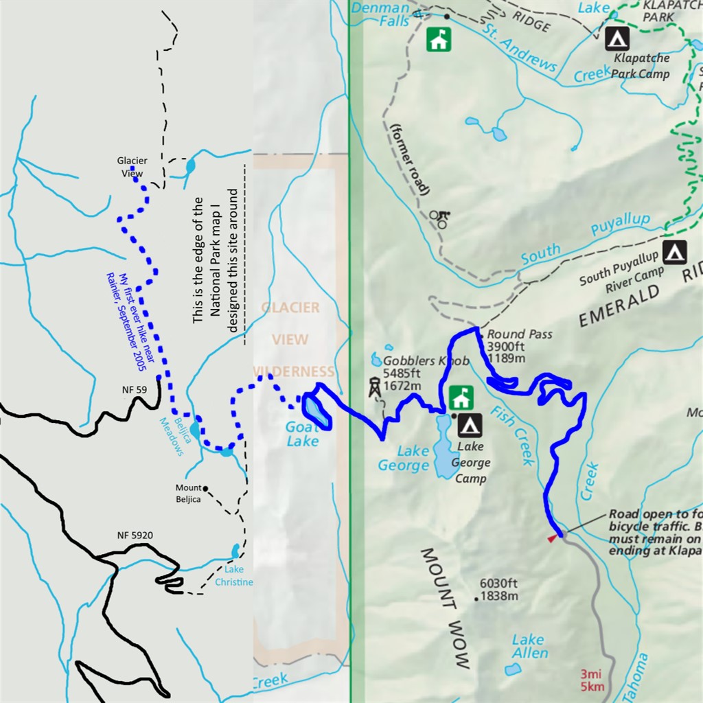
Unfortunately, Forest Road 59 washed out during heavy rains in February 2020. As of 2022 it is possible to hike or bike past the washout, but the Glacier View Wilderness is no longer easily accessible. The hike to Mount Beljica, which used to be 3 miles roundtrip with 1000' elevation gain, is now 15 miles with 3600' gain. Glacier View, which was 4.2 miles with 1000' gain, is now 21 miles with 4700' of climbing.
Strictly speaking, the Glacier View Wilderness does not belong on this website because it lies outside Mount Rainier National Park. HOWEVER, there is a half mile connector between the Gobblers Knob trail and the park/wilderness boundary. My hike-every-trail-in-the-National-Park goal required me to visit this segment, which would be possible as an out-and-back day hike, but turning around at the park boundary felt wrong because what's the point of a connector trail if not to connect to something?
The solution was obvious. With its normal road access closed, I would reverse the tradition of people using the Glacier View Wilderness as a backdoor to sneak into Mount Rainier National Park and visit Gobblers Knob. Instead, I would sneak from the National Park into the currently inaccessible Glacier View Wilderness area!
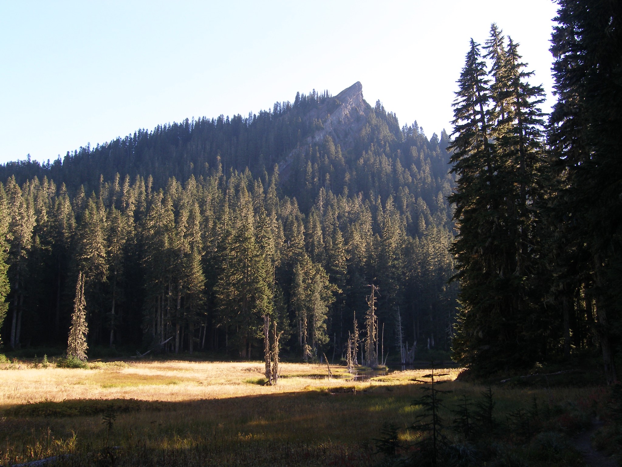
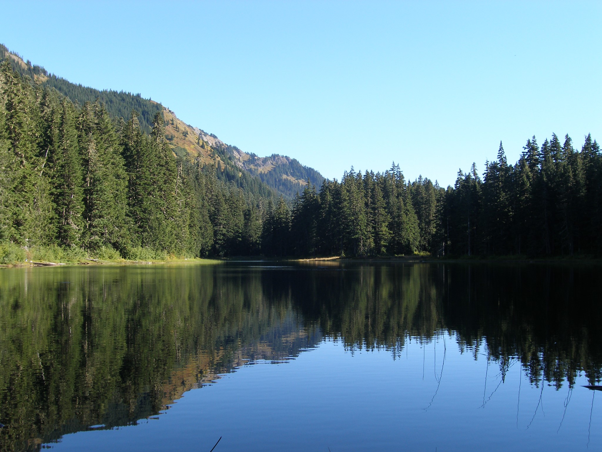
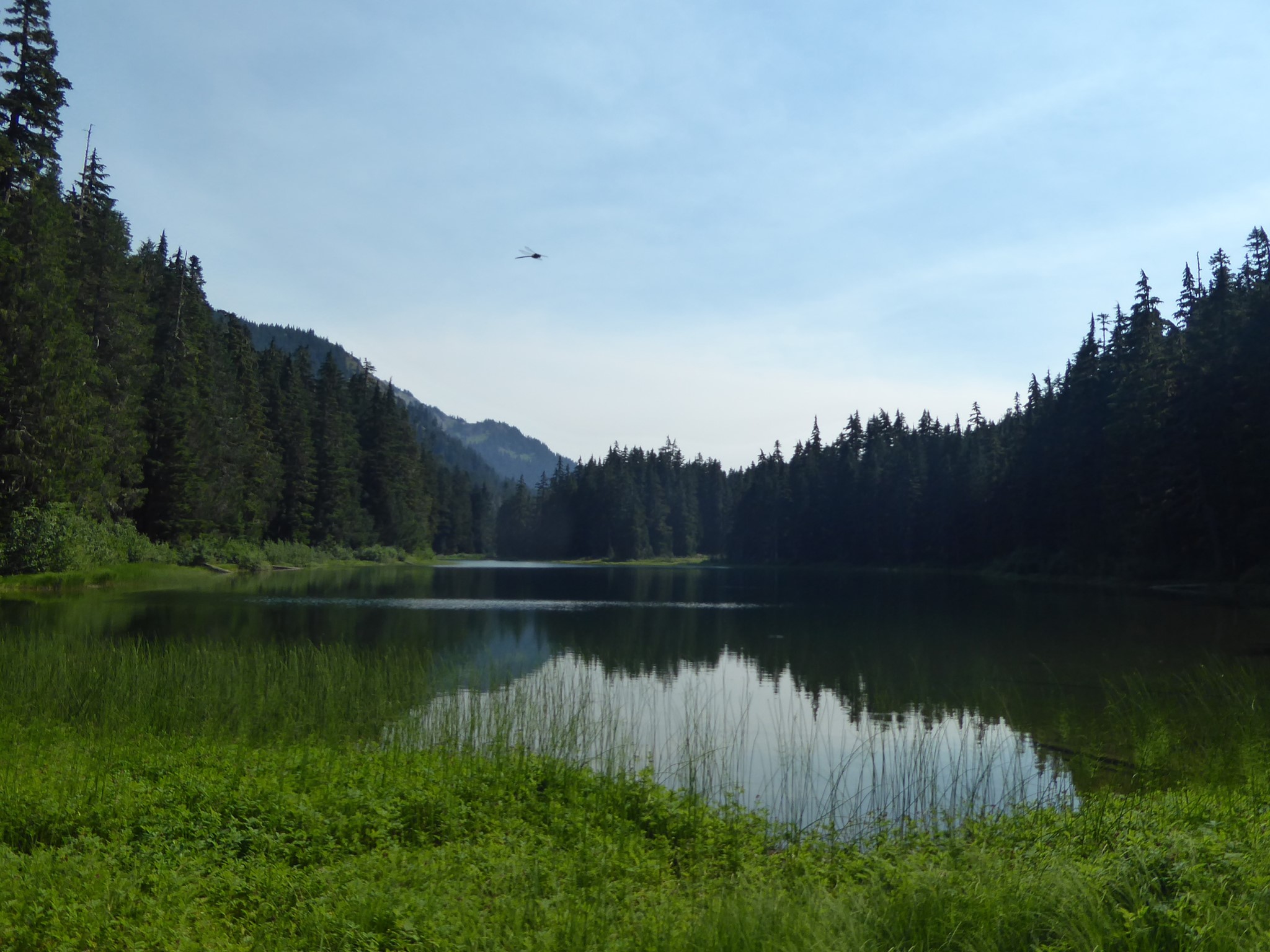
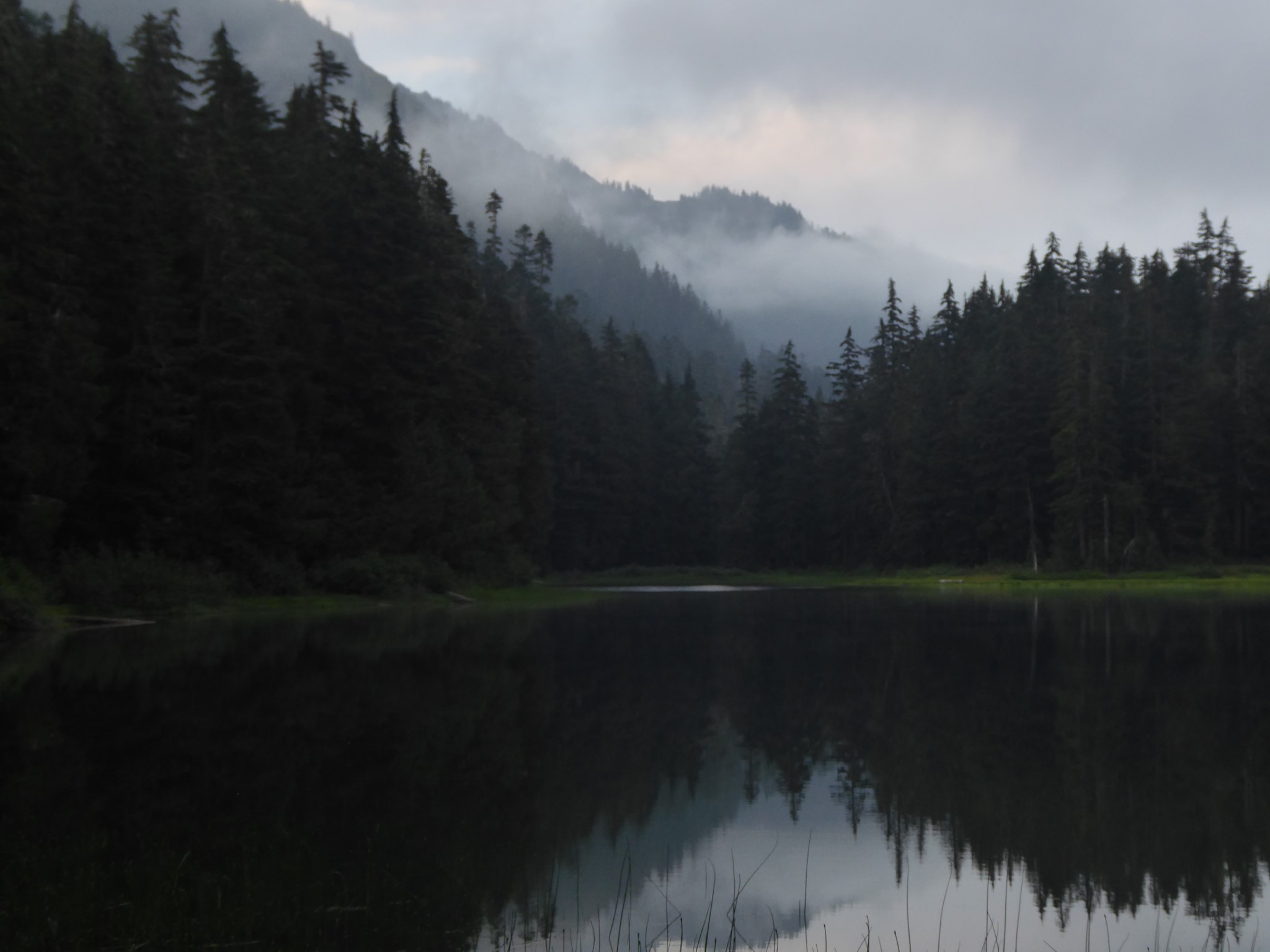
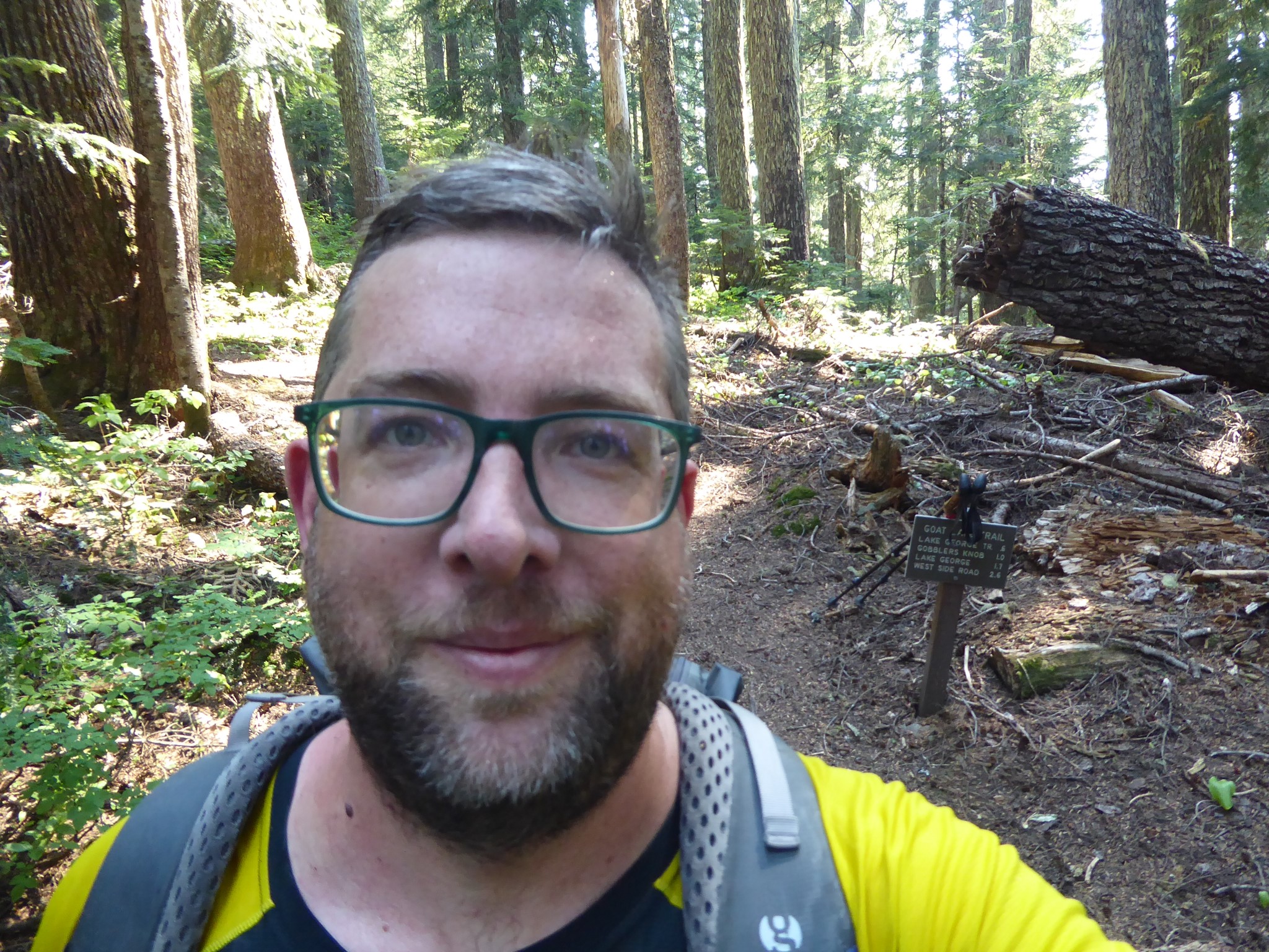
I wheeled my bike up the closed-to-vehicles Westside Road, left the bike at Round Pass, and hiked up the Gobblers Knob trail, past Lake George, to where the connector trail signposted for Goat Lake branches off. Although shown on official park maps this is not overly maintained, being narrower, rockier, and more overgrown than the Rainier norm. The trail climbs a little further, then descends around the south and east of Gobblers Knob, entering dense forest before arriving at the National Park boundary. Half a mile into the Glacier View Wilderness I arrived at Goat Lake, where I camped for the night.
Being outside the National Park, there are no bear poles or pit toilets in the Glacier View Wilderness. Choose your campsite following Leave No Trace principles, and come prepared to hang your inputs, bury your outputs, and pack out used toilet paper.
This was my first time taking a bike up the Westside Road, and although I found the road too steep to pedal up with a full pack (I'm not a strong cyclist), the return to my car was a joy. 3.5 miles of freewheeling with zero pedaling required!
By mostly unplanned coincidence, this overnight at Goat Lake, which I'd previously visited on my first ever Rainier hike in 2005, ended up being the final hike of my project to explore every official trail in the National Park. It felt appropriate to complete this undertaking by revisiting the same place where my love for Tahoma began, 17 years earlier. The mountain and I have both changed over these years, me more than her. Thank you Tahoma for all you have given me. May you long continue to be part of my life.
The statistics shown above, and the solid line on the map, are for my hike from the Westside Road to Goat Lake and back. The dotted line shows my 2005 hike starting from the now-closed Forest Road 59. It would be fun to stay two or more nights and combine these.