|
Gobblers Knob Difficulty: moderate 11.6 miles Elevation gain: 2660' Max elevation: 5480' Camps: Lake George First hiked by me: 2020 |
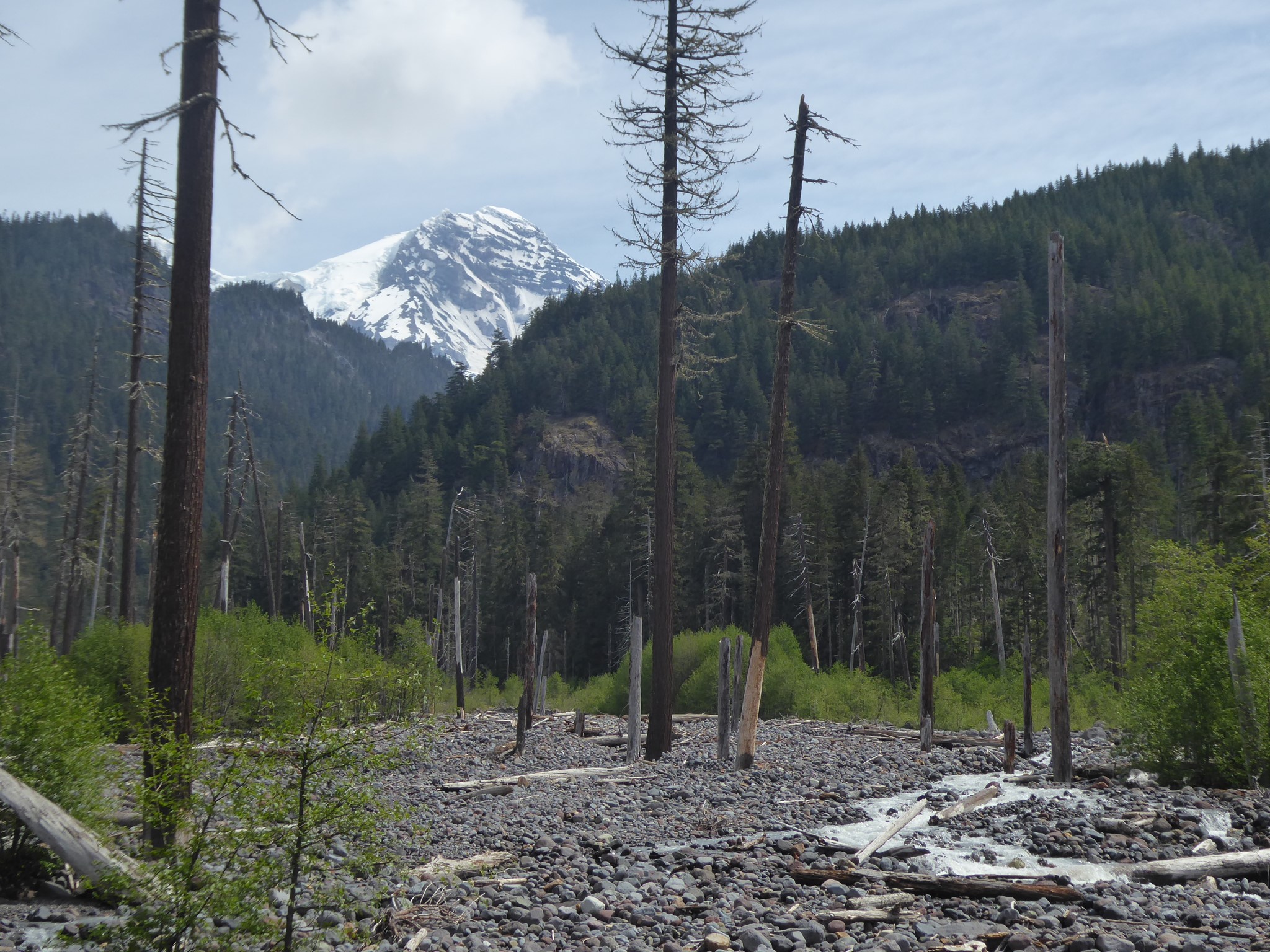
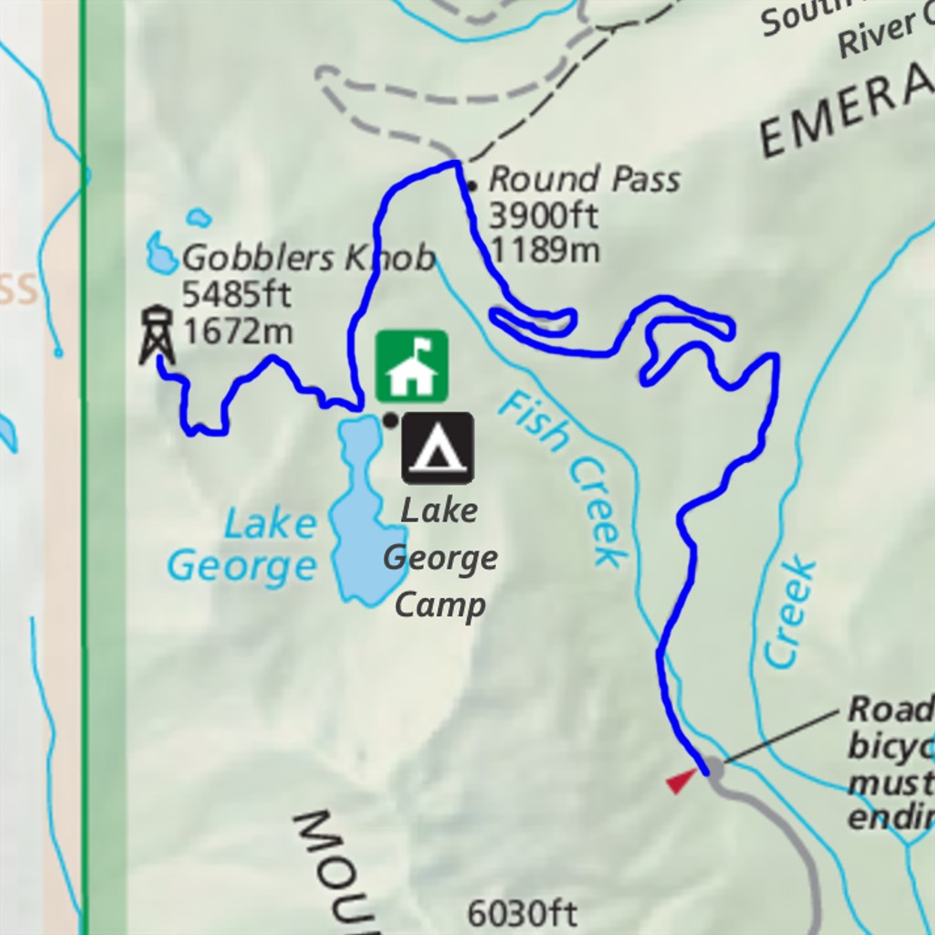
Walk or bike for 3.5 miles up the closed-to-vehicles Westside Road, which is also the first part of the South Puyallup Pipe Organ, Klapatche Park, and Emerald Ridge hikes. Although this road section is more than half of the total distance to Gobblers Knob, it will pass quickly as footing is easy and the gradient gentle. The road passes through the most tectonically active area of Rainier National Park (hence its closure!) so you'll get to enjoy sights of rockfall, lahar debris, and the flood prone Tahoma Creek.
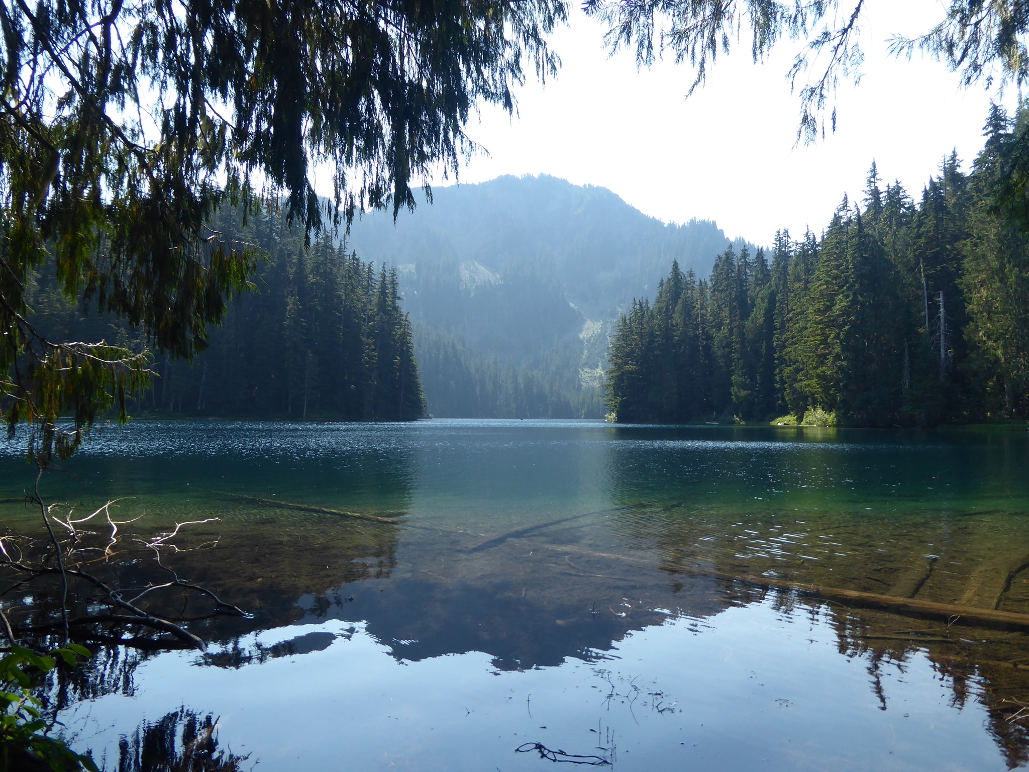
At Round Pass, just before the Marine Memorial, the Gobblers Knob trail takes off to the left. It climbs through forest, then levels out and arrives at Lake George after 0.8 miles with 500' elevation gain. The lake is large, tranquil, and home to several campsites plus a ranger patrol cabin.
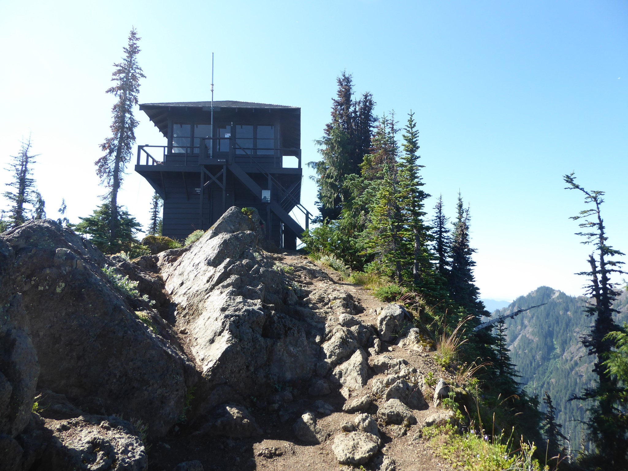
After passing to the right of the lake, the trail climbs 1200' over another 1.4 miles, to the steep-sided Gobblers Knob. This is home to one of Rainier's four remaining fire lookouts, built in 1932 and still in great condition although no longer used for fire watch which is done aerially these days.
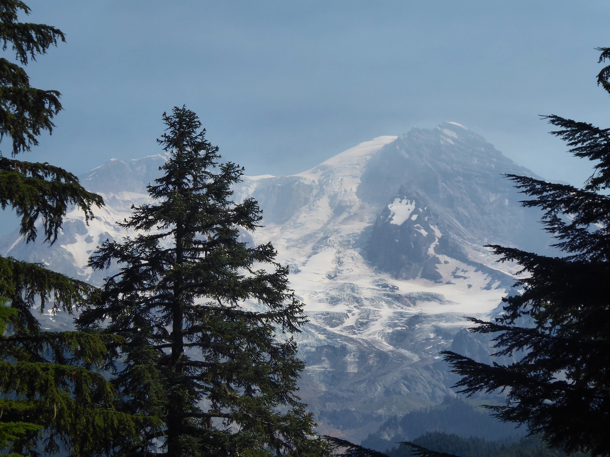
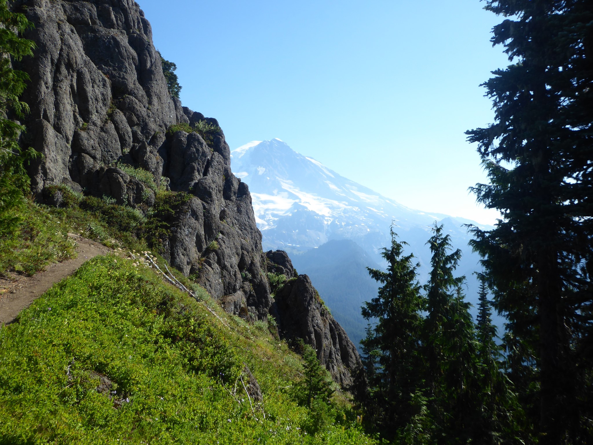
The climb is mostly forested, but the steep hillside means tree cover to your side is thin enough that you'll keep catching glimpses of white glaciers forming a distant backdrop to the pine needles. It's magical and extremely motivating to tired legs.
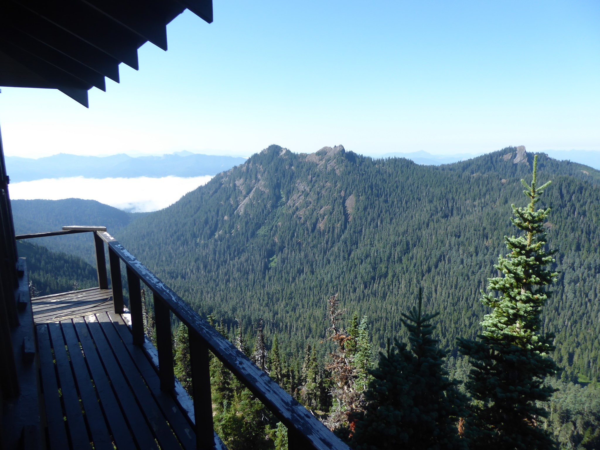
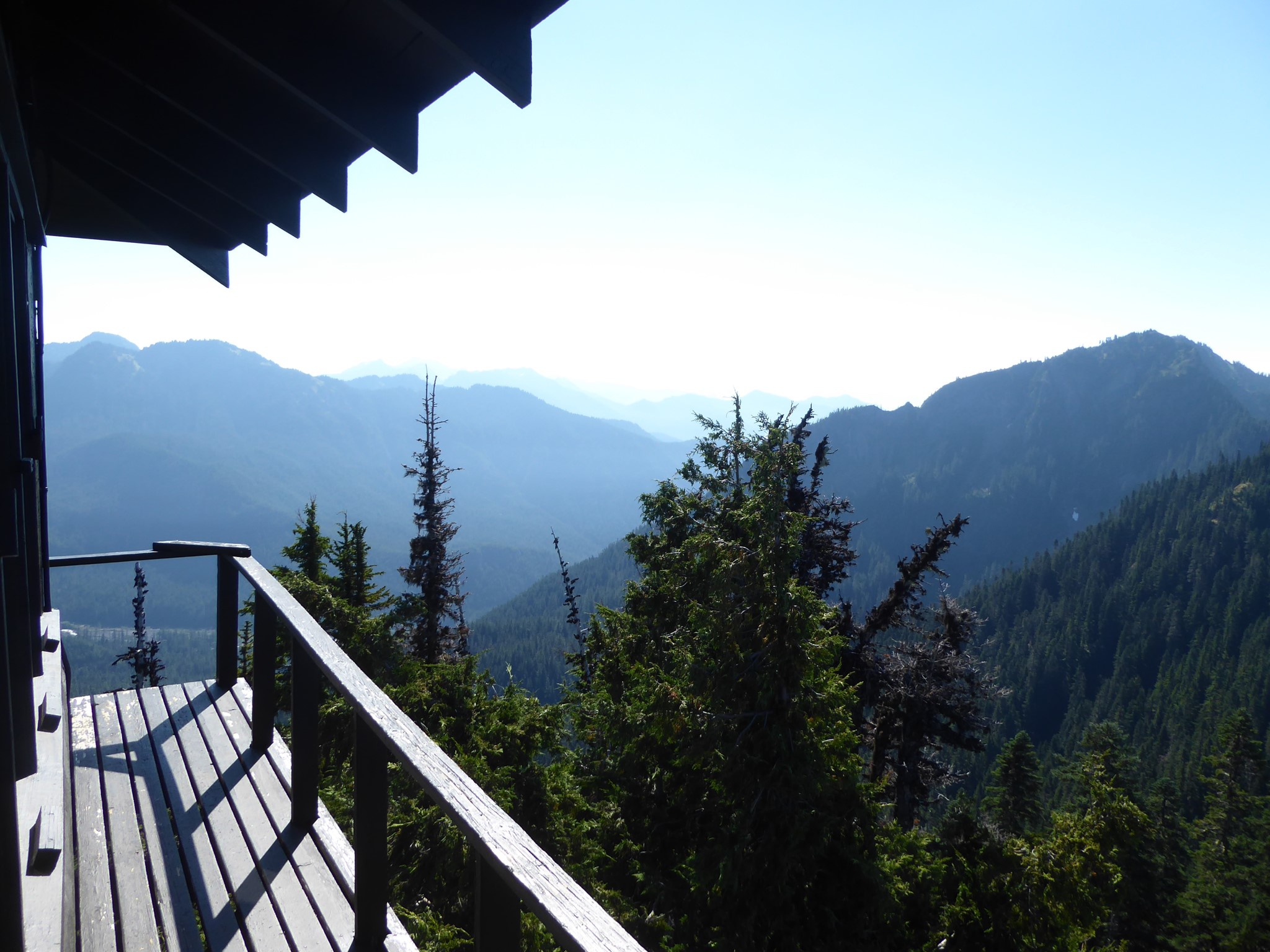
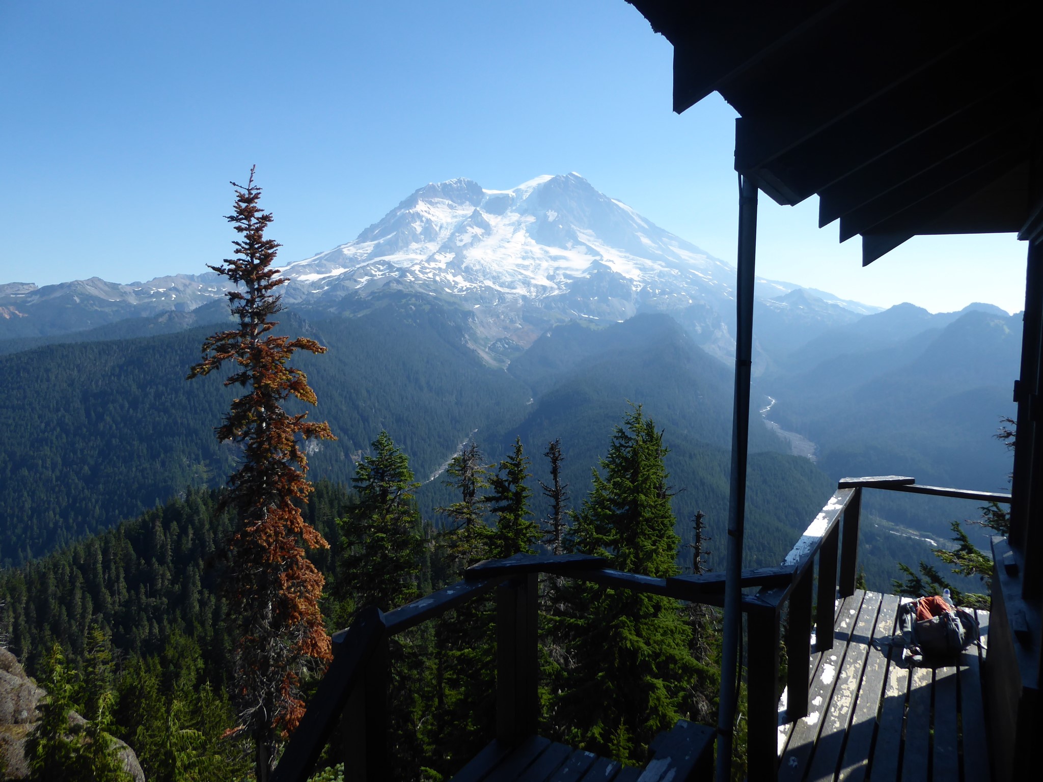
At the lookout, there's a 360° panorama of stupendous views. Rainier is of course the grandest of all, with the Tahoma Glacier perched directly above the South Puyallup River valley, Tahoma Creek valley to the right, and Emerald Ridge (beloved of Wonderlanders) in between.
Although totally reachable by sturdy day hikers, this trail is not well known. On a sunny Sunday in August, we only passed maybe a dozen other people, most of whom were backpacking.