|
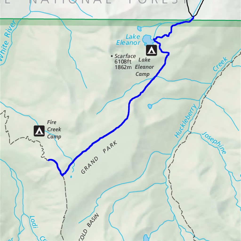
Grand Park via Lake Eleanor Difficulty: moderate 9 miles Elevation gain: 1680' Max elevation: 5690' Camps: Lake Eleanor First hiked by me: 2020 |
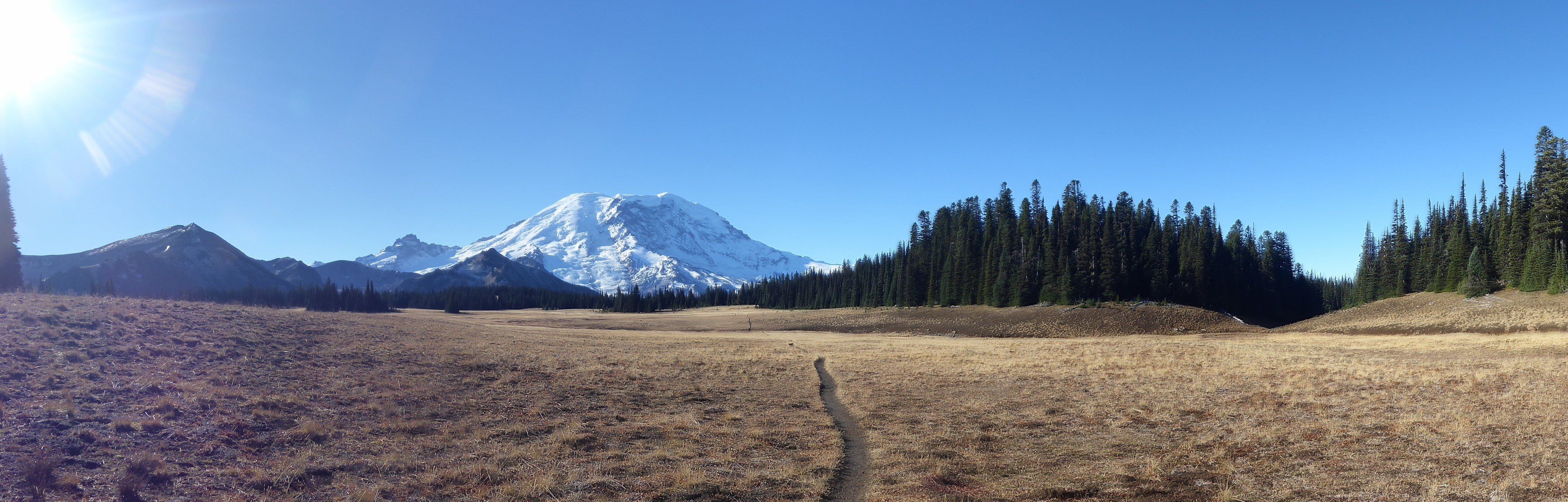
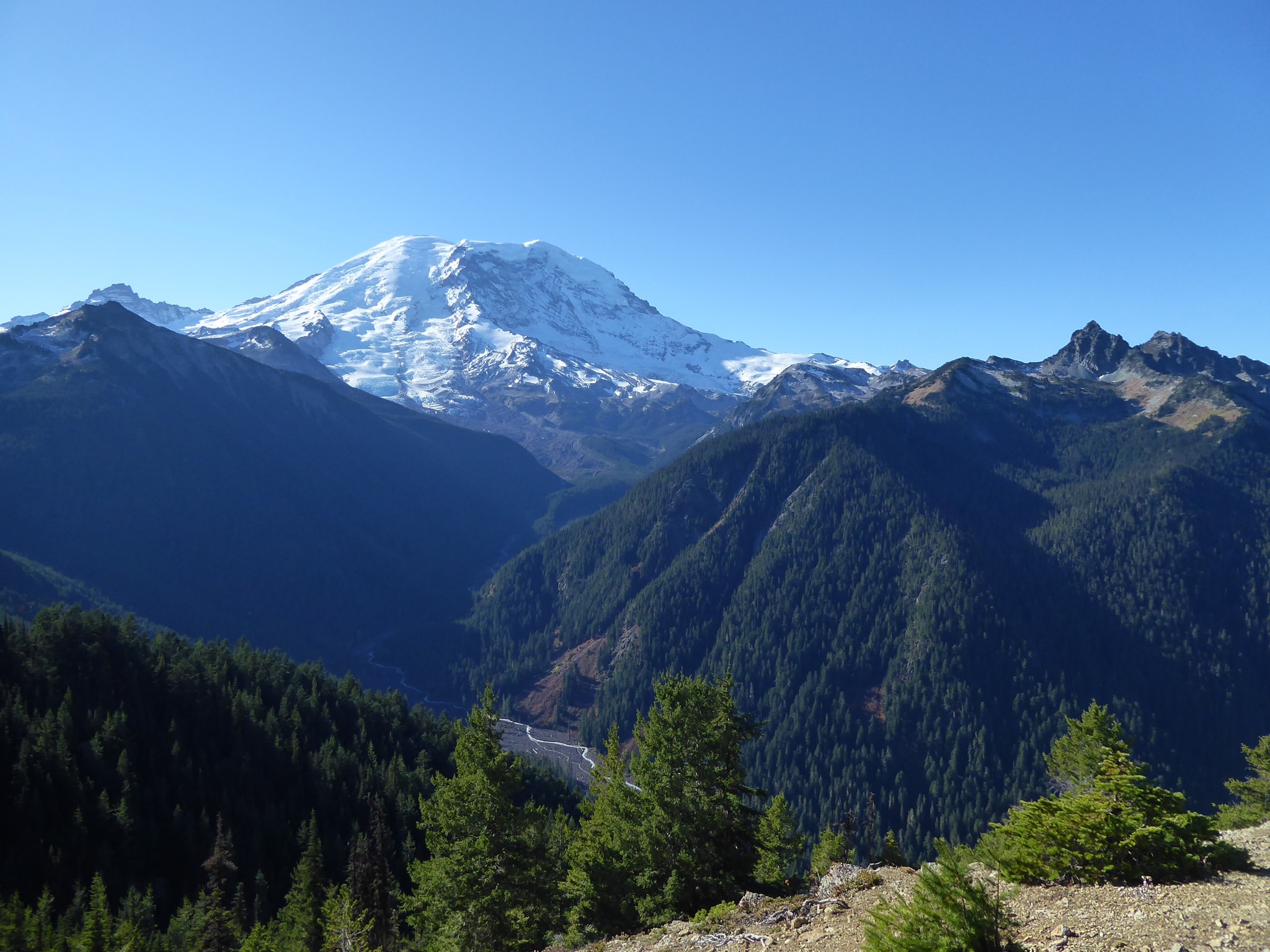
Grand Park is what happens when lava flows in such a way as to somehow create a mile long and perfectly flat open area at 5600' elevation. It can be reached along the Grand Park from Sunrise trail, or by this shorter and significantly easier side entrance.
The distance shown above includes an optional (but highly recommended) extension along the Northern Loop trail to a stunning viewpoint. If you skip that and turn around at the junction between the Lake Eleanor and Northern Loop trails, the hike is 8.2 miles roundtrip. If you only go as far as the start of Grand Park, it's 6.4 miles.
The trailhead is ever so slightly outside Mount Rainier National Park, along Forest Road 73, which means no pass required to park here. It also means 10 miles driving up a potholed dirt road. As of 2020 this was fine in my low clearance electric car (better than Mowich Lake Road), but it took about 30 minutes.
A sign at the trailhead confidently states "ELEANOR CREEK / ELEV. 2980". It is wrong. You are at 4500' elevation here.
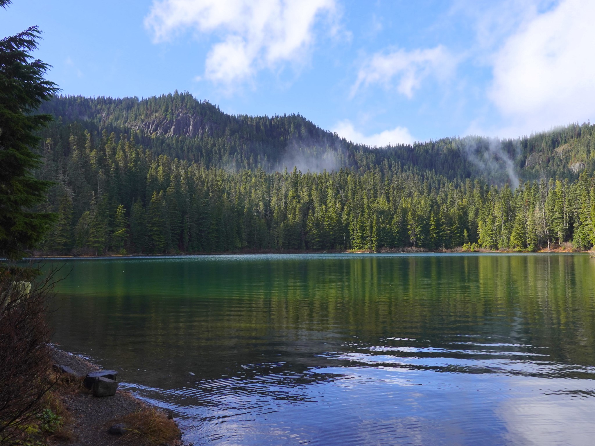
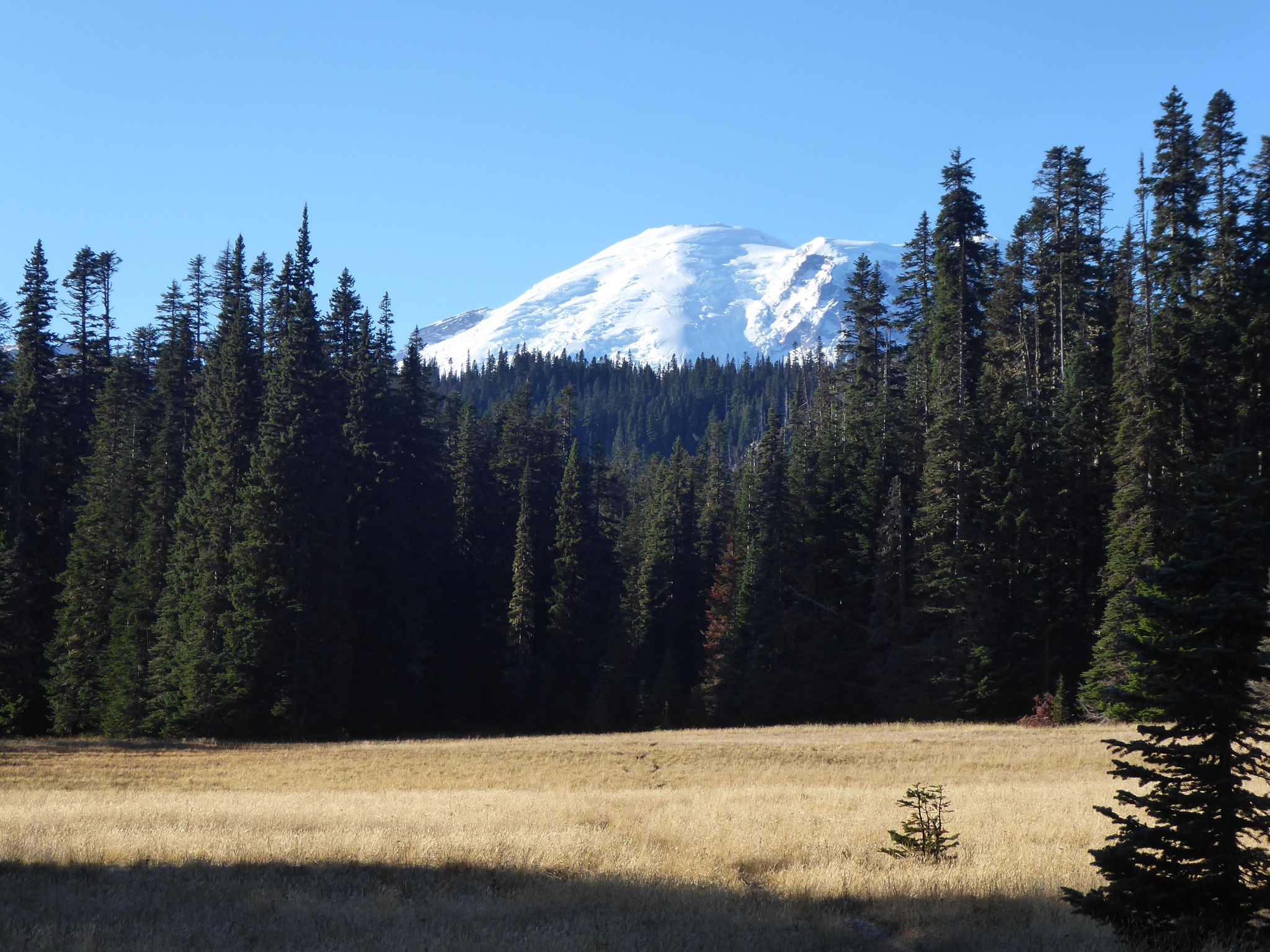
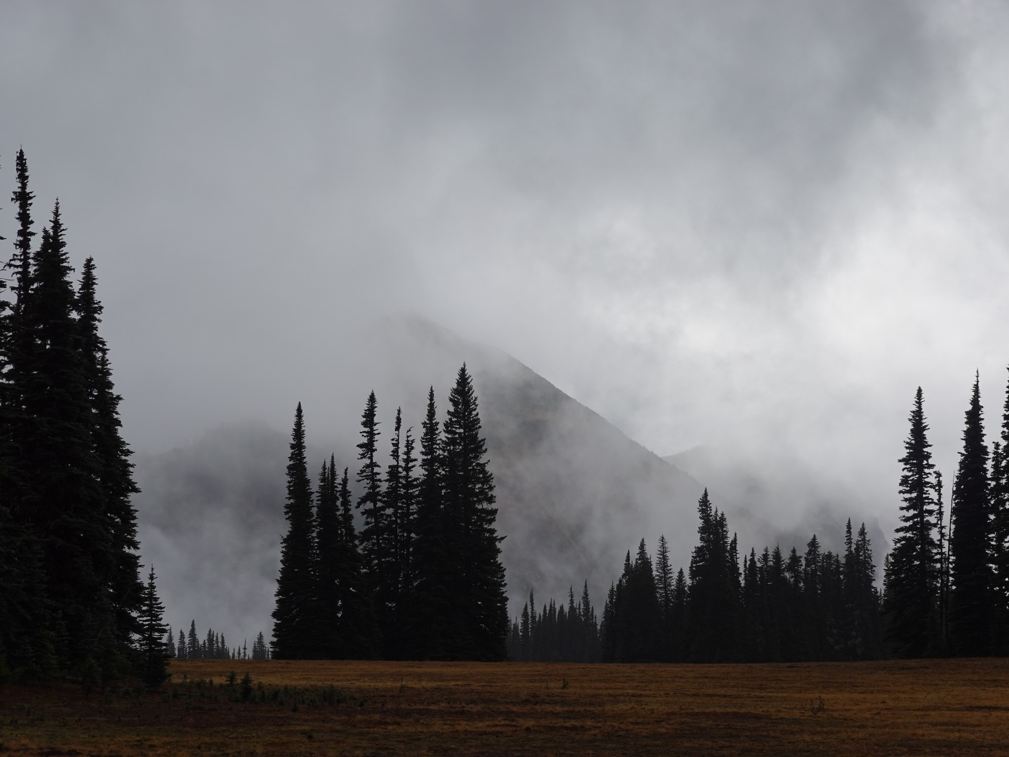
The trail climbs gradually through a mile of forest to Lake Eleanor. Next comes a delightful level forest section, and then a slight descent to an open area which offers the first summit view. This flat meadow is like a teaser trailer for Grand Park itself. Perhaps it should be called Lower Grand Park, or Lesser Grand Park? Or we could pull a musical joke and call it Upright Park.
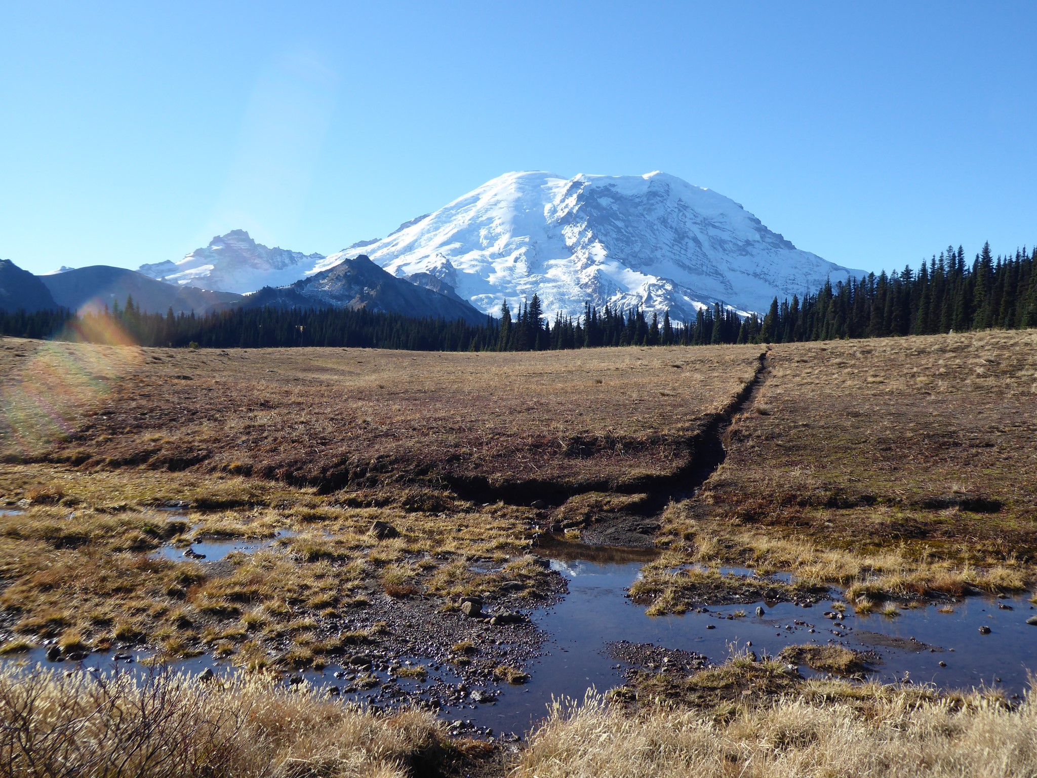
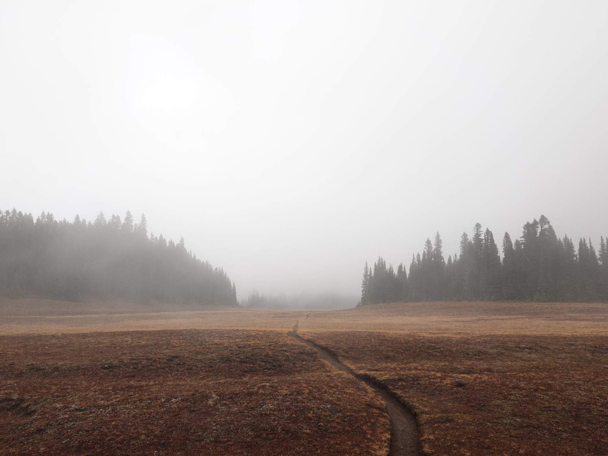
After more climbing through forest, you'll arrive at Grand Park itself, along with the kind of summit views that'll make you thankful for digital cameras where you don't have to worry about wasting film. From here on, everything is pretty much flat. Call it a day if you want, or continue another mile through Grand Park. When the Lake Eleanor trail joins up with the Northern Loop, I recommend turning right and hiking another 0.4 levelish miles to a stunning viewpoint over the West Fork White River.
Thanks to its gentle gradient, lack of avalanche terrain, and access from a forest road that remains open when the major Rainier roads are closed for winter, this can be a great snowshoeing or winter camping trail. Just be careful of the road itself in icy conditions, as there are several steep and exposed sections!