|
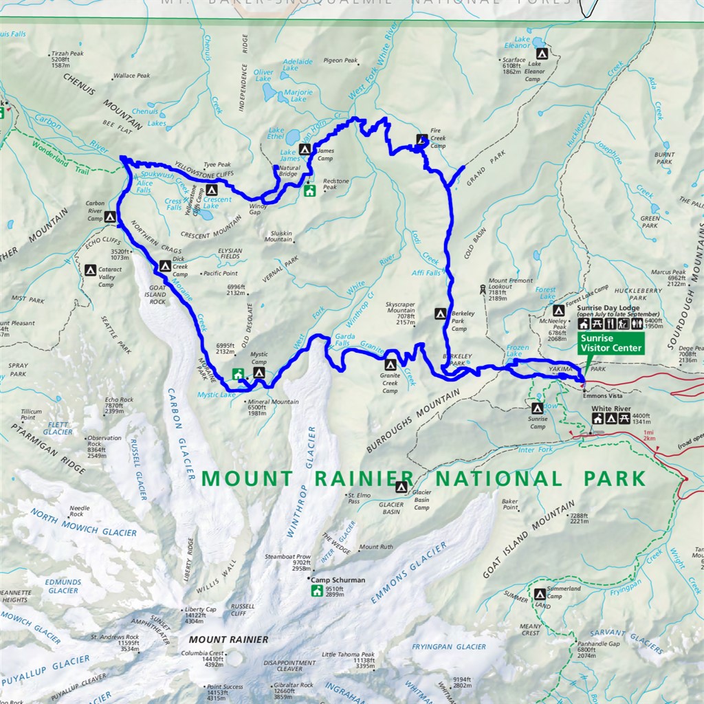
Northern Loop Difficulty: strenuous 3-4 days 36.3 miles Elevation gain: 11,140' Max elevation: 6760' Camps: Berkely Park, Fire Creek, James Camp, Yellowstone Cliffs, Carbon River, Dick Creek, Mystic Camp, Granite Creek First hiked by me: 2020 |
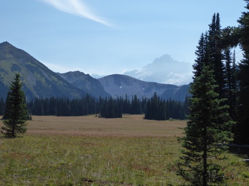
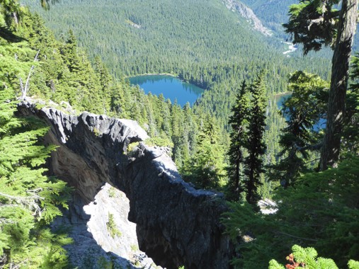
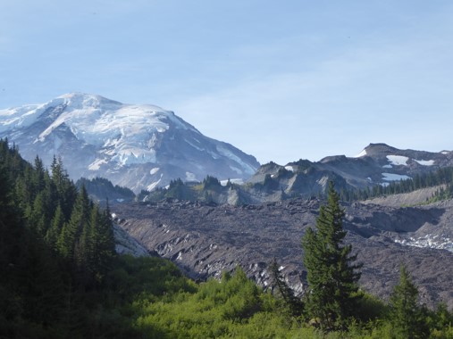
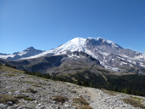
The Northern Loop trail is a sibling of the Wonderland Trail. It's shorter and less famous, but made from the same DNA and every bit as special. It encompasses more than one each of high passes, wild rivers, close encounters with glaciers, highs, lows, and the epic ascents and descents between them. Spanning both the east and west sides of the park, you'll get to experience the vegetation difference from rainshadow dryness to lush temperate rainforest.
Strictly speaking, the trail signposted as the "Northern Loop" is not a loop at all, but a 16 mile path which both starts and ends at junctions with the Wonderland Trail. It is most commonly combined with the northern section of the Wonderland, forming a 27 mile loop. There are no trailheads directly along this circuit, which is most easily accessed from Sunrise, adding 4.3 miles out and back. Alternative access points are Lake Eleanor (+8.2 miles), Carbon River (+14.5 miles), or if you combine this with the Spray Park Loop to form a figure-eight, Mowich Lake.
There are two potentially dangerous river crossings along this hike: West Fork White River and Winthrop Creek. Both were the site of fatalities in 2018. Do your research, as conditions can vary greatly year-to-year (in 2018, the log bridge over Winthrop Creek did not have a railing) and try to reach these early in the day when river levels are lower.
I hiked the Northern Loop in early September, over four days going counterclockwise from Sunrise.
 Day 1: Sunrise to Fire Creek |
 Day 2: Fire Creek to Carbon River Camp |
 Day 3: Carbon River Camp to Mystic Camp |
 Day 4: Mystic Camp to Sunrise |