Wonderland Trail Hazards
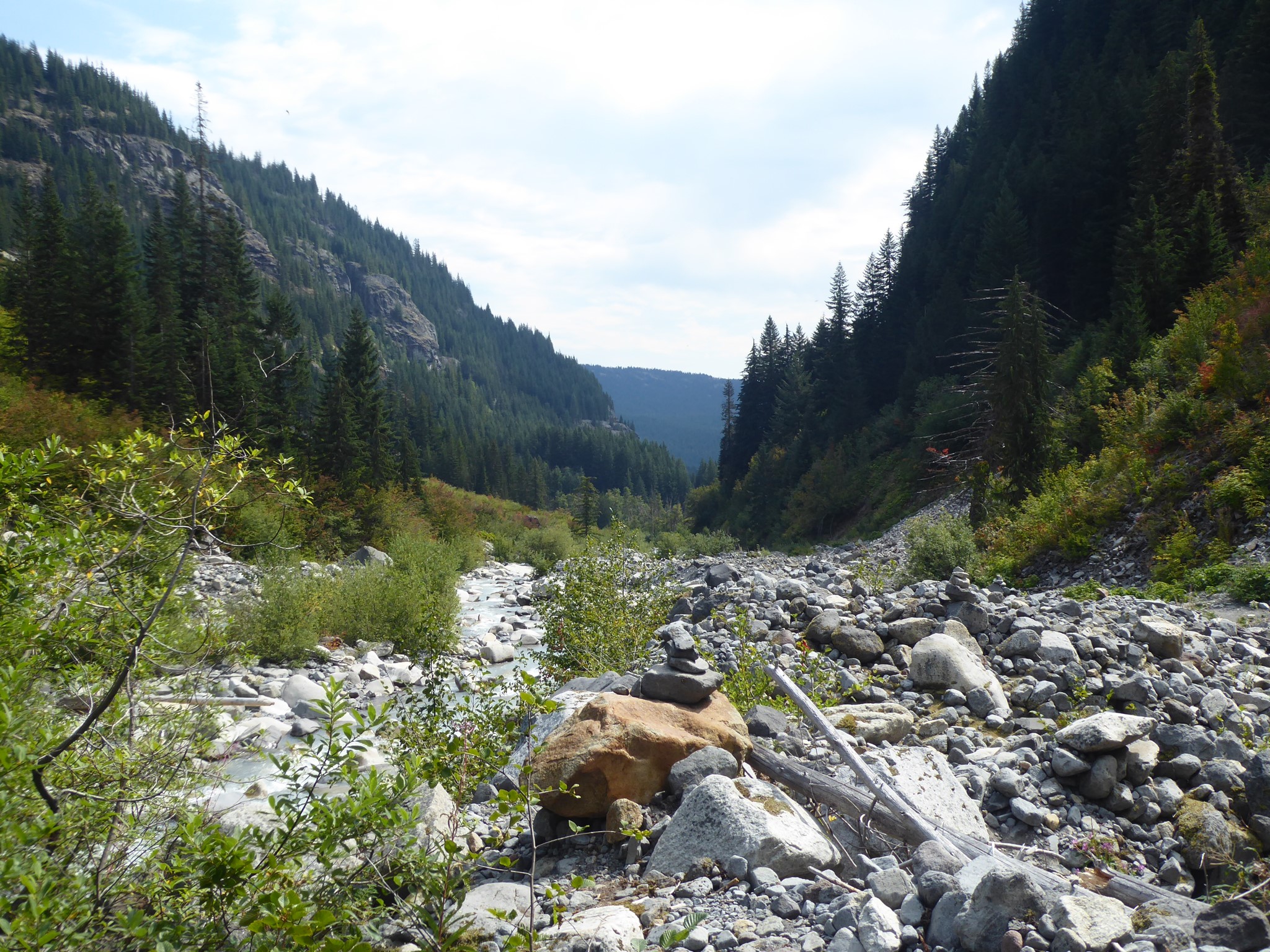
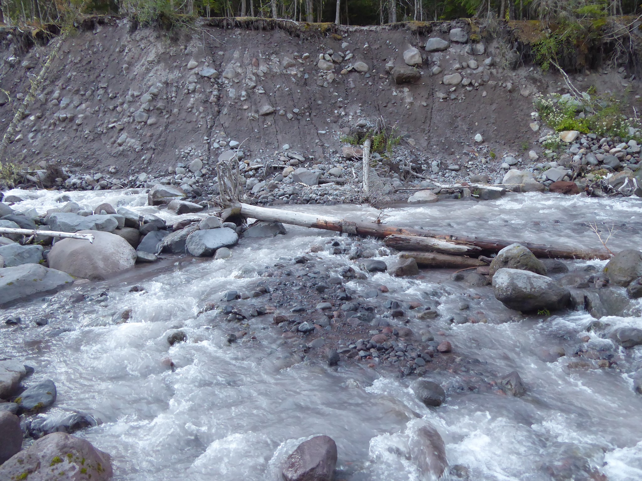
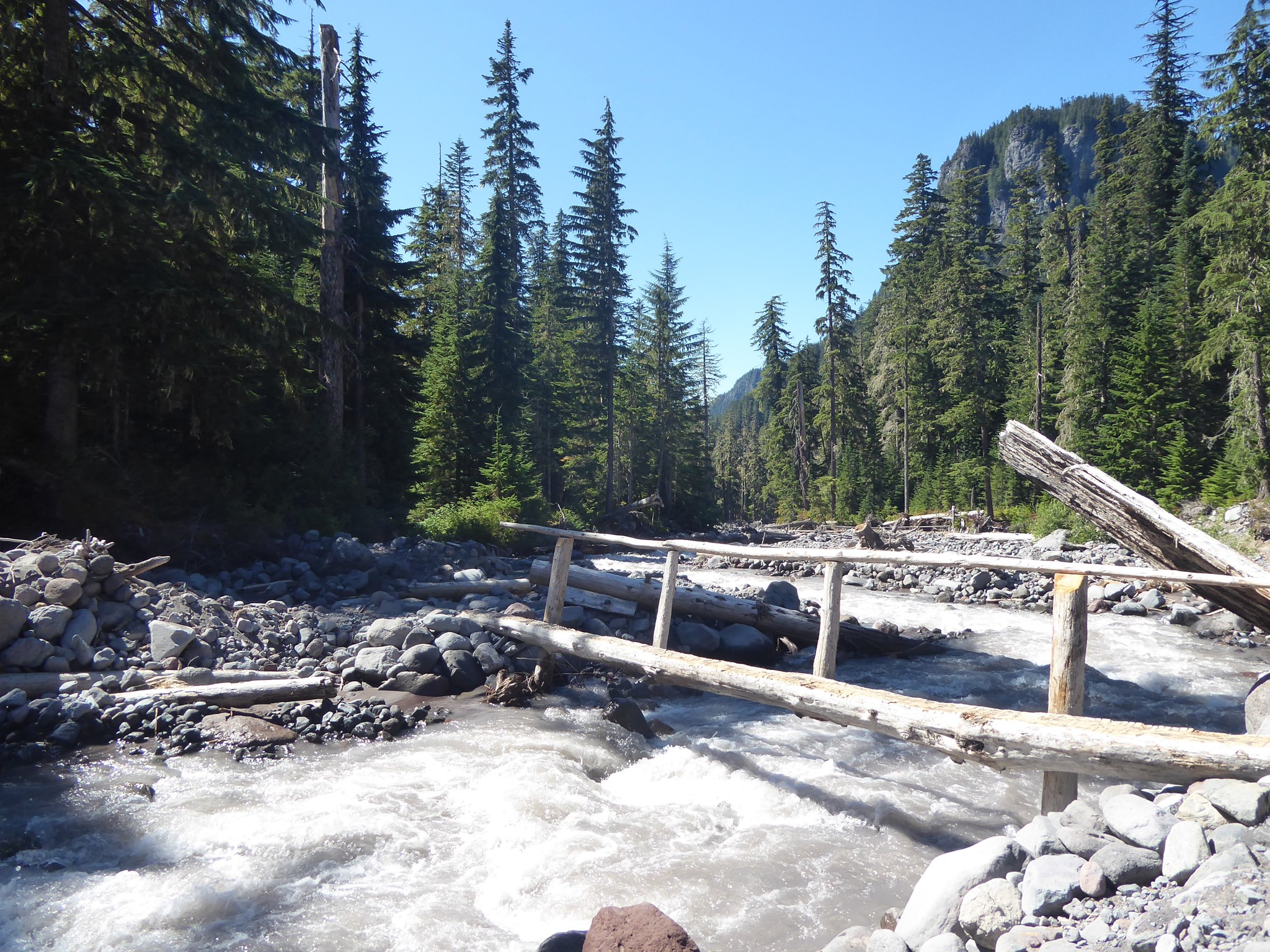
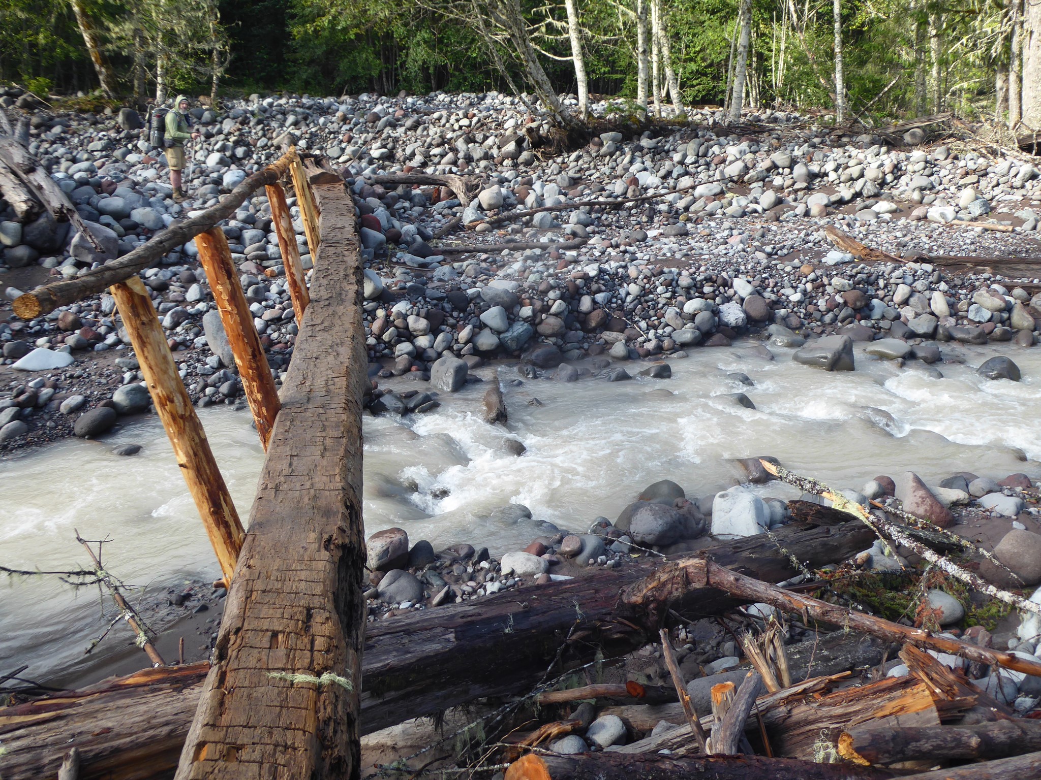
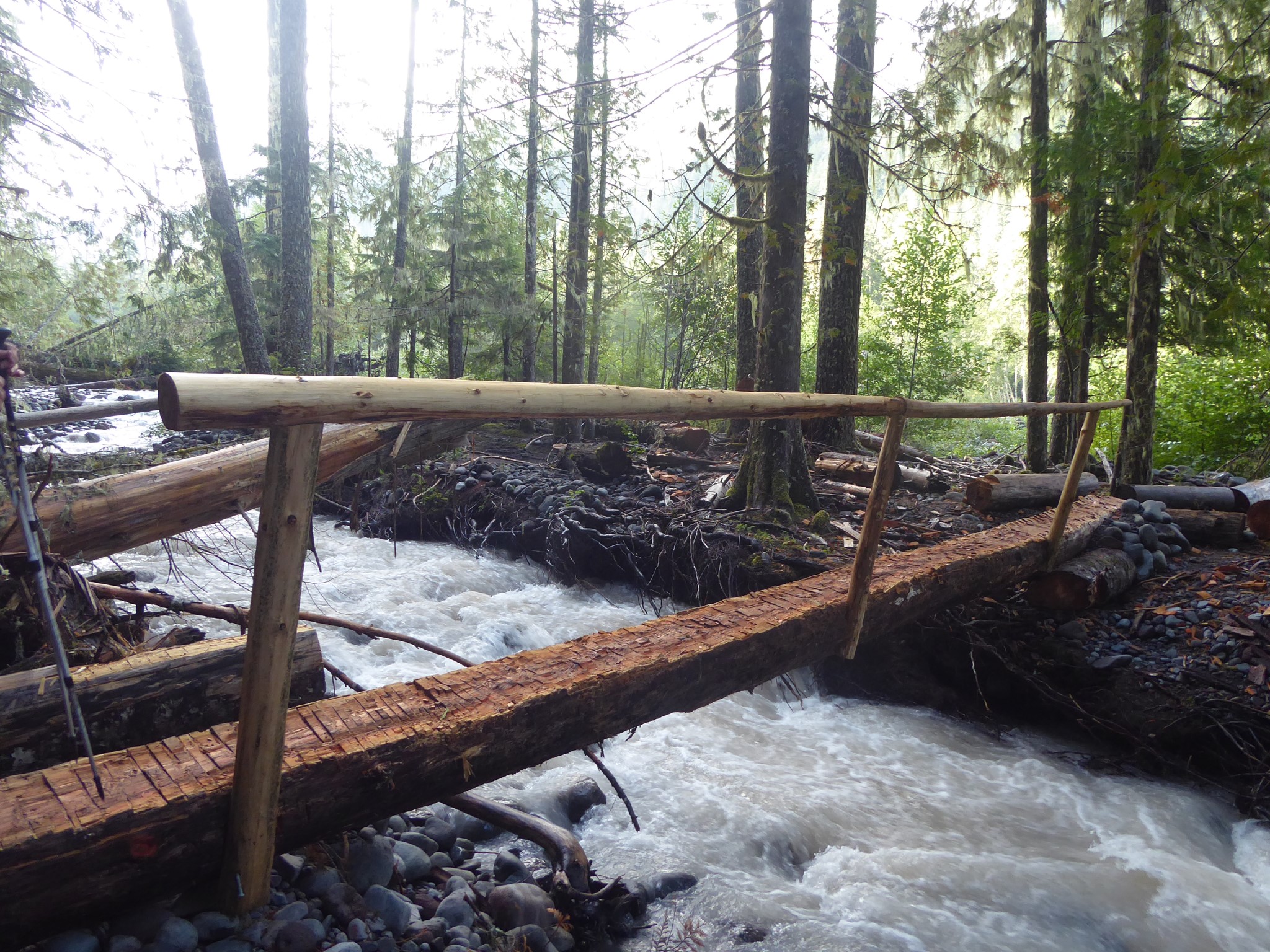
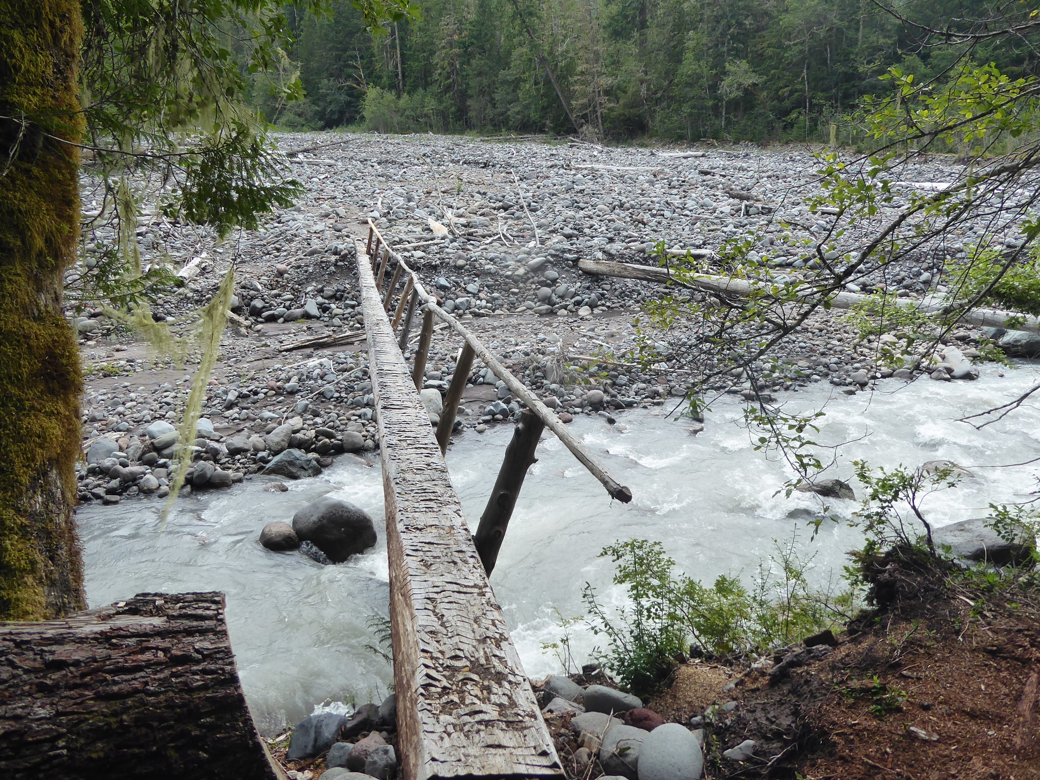
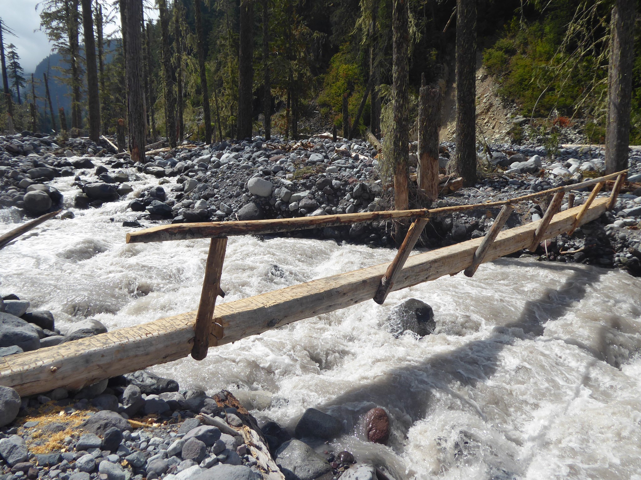
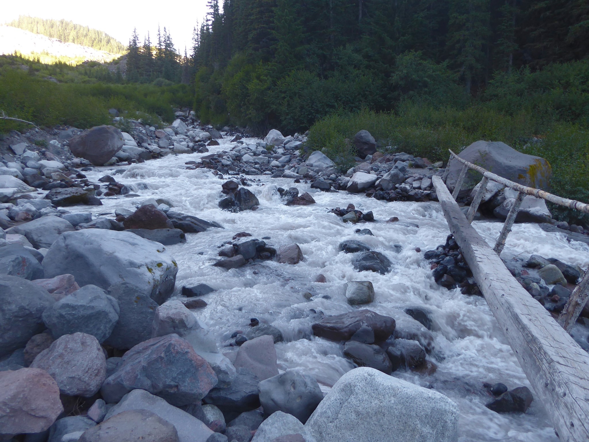
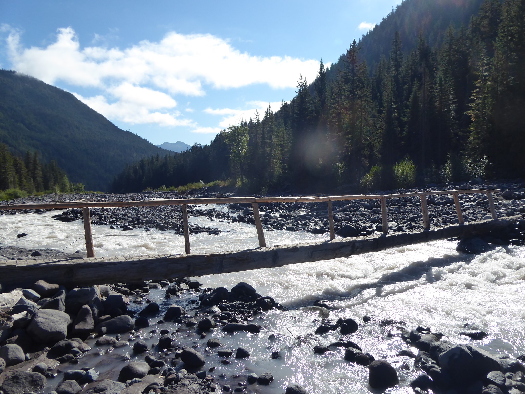
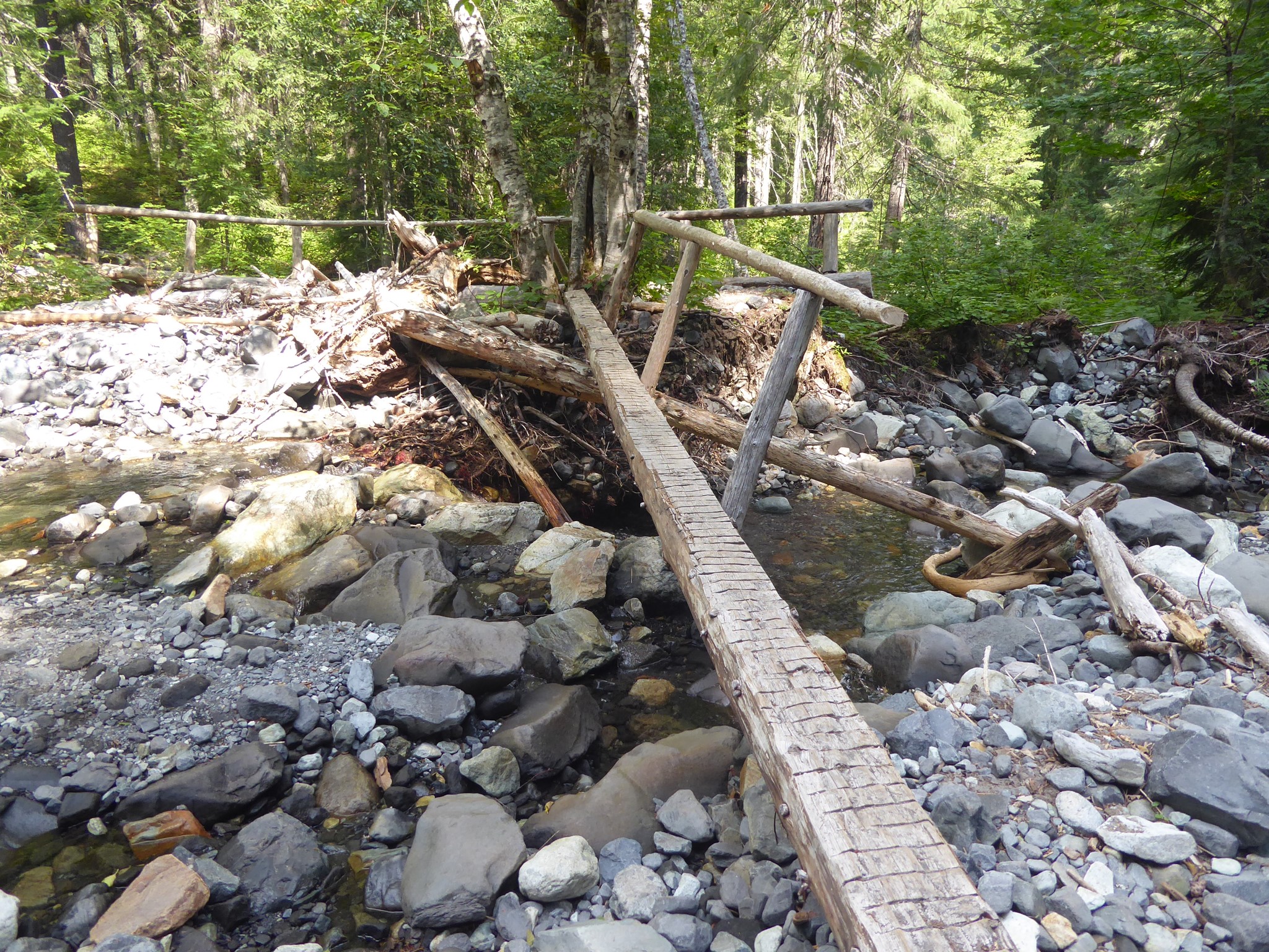
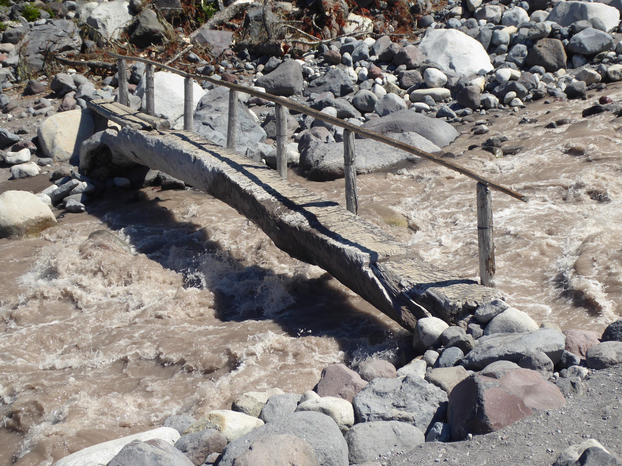
By far the greatest danger of the Wonderland Trail is the many glacial river crossings. Some rivers have sturdy wooden bridges over them while others are spanned by cool suspension bridges, but many have just a log plus a railing if you are lucky. Falling off these logs into fast moving turbid waters, which are often filled with rolling boulders, is not good for your life expectancy. The rivers have a habit of removing their log crossings due to flooding or the river shifting course, so the Park Service is playing a perpetual game of whack-a-mole trying to keep the bridges in place.
River conditions can vary day to day and even hour to hour as melt levels change. Early mornings are better due to lower flow. It's a good idea to research bridge status before you set out, but be aware that a bridge which existed when you started your hike may have washed away by the time you arrive at its river, or a missing bridge may have been replaced. Judge for yourself, and turn back if you don't like what you see.
If you come to a river with no bridge, your options are to ford it, look for a conveniently placed fallen tree, wait for conditions to change (a river that is raging at 4 PM may be mellow at 6 AM tomorrow), or turn back. Beware if logs are slippery: there's no shame in scootching across on your butt rather than walking upright :-)
There will sometimes be flagging (ribbons tied to trees) showing the way to a suggested crossing location, but take this with a pinch of salt because rivers are constantly changing. Pick a spot that works for you, which might differ from what the rangers thought best at some earlier time.
Scout upstream (because rivers get bigger as more tributaries join) to find a good place to cross. Don't be hesitant about going a long way if needed: it's better to add some sideways distance than to cross in an unsuitable location and have your trip end poorly! Remember that bridges (and hence trail routes) choose spots where the river is narrow and deep, but for fording you want a spot where it's wide and shallow, or even better split into multiple wide and shallow forks that can be tackled independently. Avoid locations with hazards such as log tangles or rapids immediately downstream.
To ford a river: unclip pack straps so you can ditch the pack quickly if needed. Wear shoes: water/camp ones if you carry them, or your main hiking footwear if not. Use two poles, and move just one pole or foot at a time so you'll always have three solid points of contact. Use a pole to check depth, flow rate, and footing before each place you're considering putting a foot. If you hear rocks rolling with the current, DO NOT ATTEMPT.
With the caveat that even minor streams may be problematic at times of high flow, notable crossings to be aware of include:
- Kautz Creek as of 2024 consisted of two main channels, fairly narrow but fast flowing and without a bridge. Something must have recently changed upstream to send more water this way, because I found little to no flow here in previous years.
- Pyramid Creek (between Pyramid Creek Camp and Devil's Dream) is a substantial river crossed by log bridge with railing.
- South Mowich River (by South Mowich Camp, between Golden Lakes and Mowich Lake) has multiple forks that frequently change their course. Sometimes there are log bridges over them, or there may be fallen trees you can cross on. This is a dangerous and unpredictable river, combining remote location with lack of alternatives if you can't find a good way across it.
- The North Mowich River may also be tricky if its bridge is missing. In 2023 the main channel of the South Mowich River shifted course and merged into the North Mowich River upstream of the Wonderland, making this a larger crossing than before. As of 2024 that water is back in its previous place.
- The lower Carbon River crossing (between Ipsut Creek and Carbon River Camp) happens to be washed out at the time I'm writing this. This would be a risky river to attempt fording if there is no bridge in place when you arrive there. An alternative is to take the Spray Park route instead of going via Ipsut Pass and Ipsut Creek, which avoids this log bridge location and allows you to cross the Carbon River on a nice suspension bridge instead.
- Winthrop Creek (between Mystic Lake and Granite Creek) was the site of a fatality in 2018, at which time its log bridge had no railing. A railing had been added by the time I crossed here in 2020, but water was lapping over the top of the log at peak melt times.
- White River (leaving White River campground heading toward Fryingpan Creek) is also washed out at the time of this writing. If you can't cross safely here, detour down the road and hop back onto the Wonderland shortly after crossing the road bridge.
- Maple Creek used to be spanned by a series of three log bridges, but in 2024 I found only two there. Proof that the area undergoes substantial rearrangement at times of high flow.
- If the Nisqually bridge near Cougar Rock is missing, you'll have to detour on the road between Cougar Rock and Narada Falls.
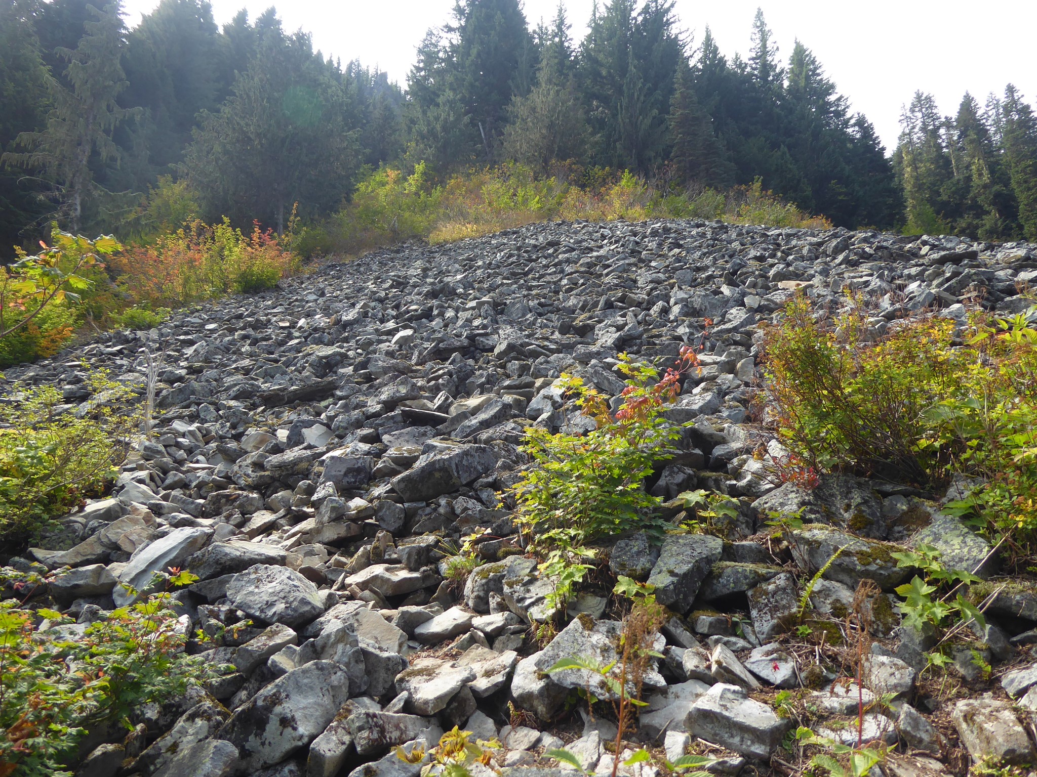
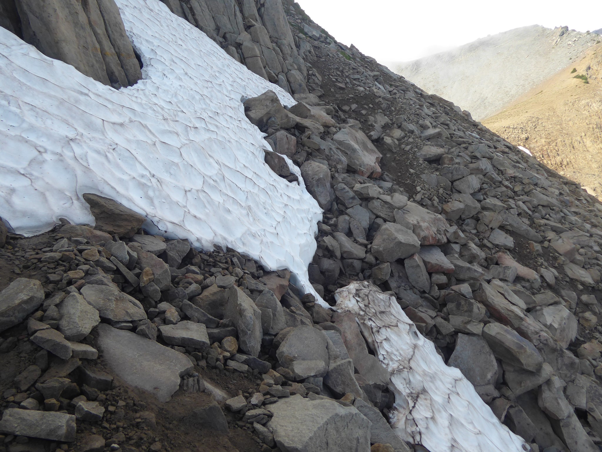
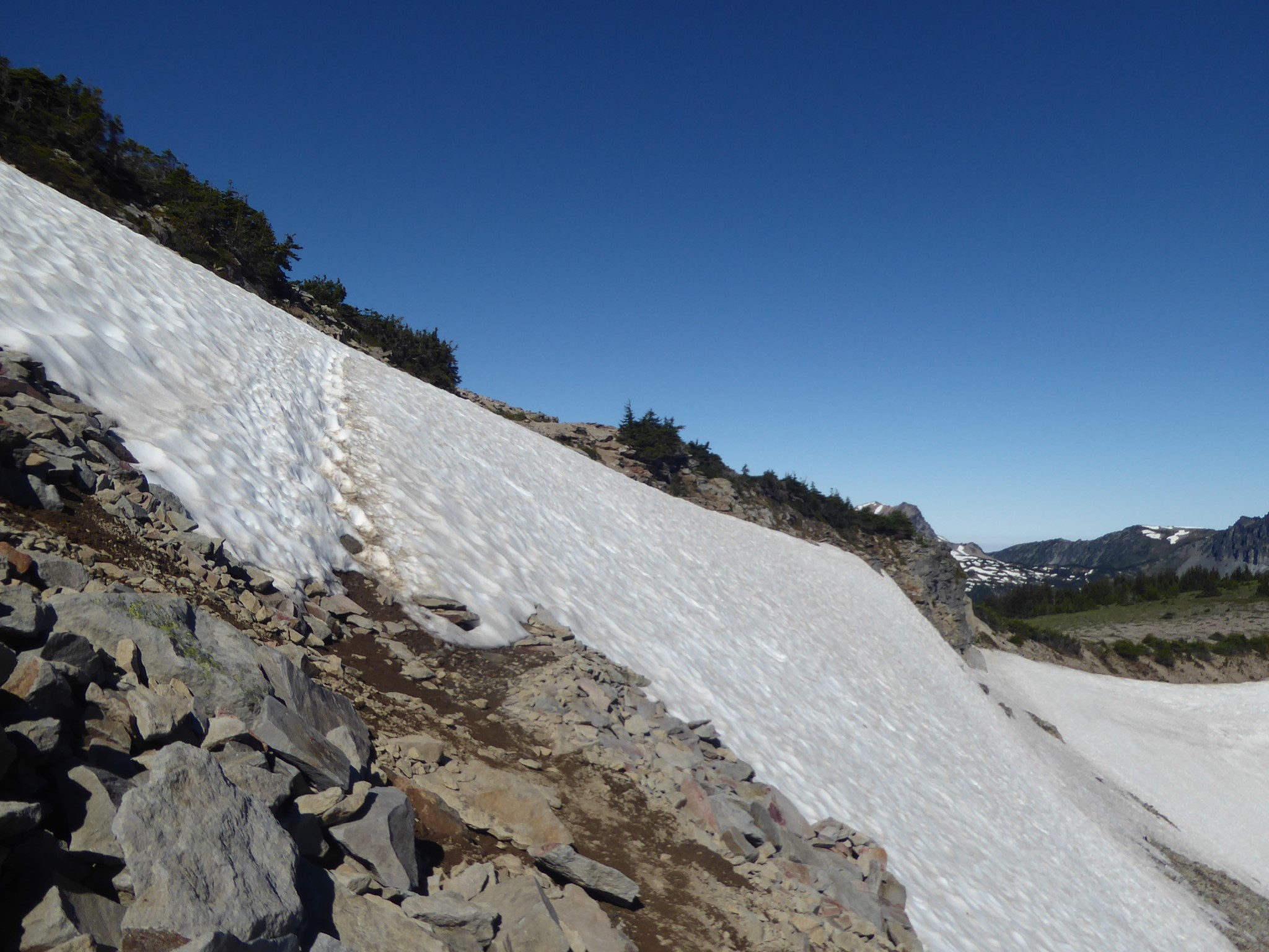
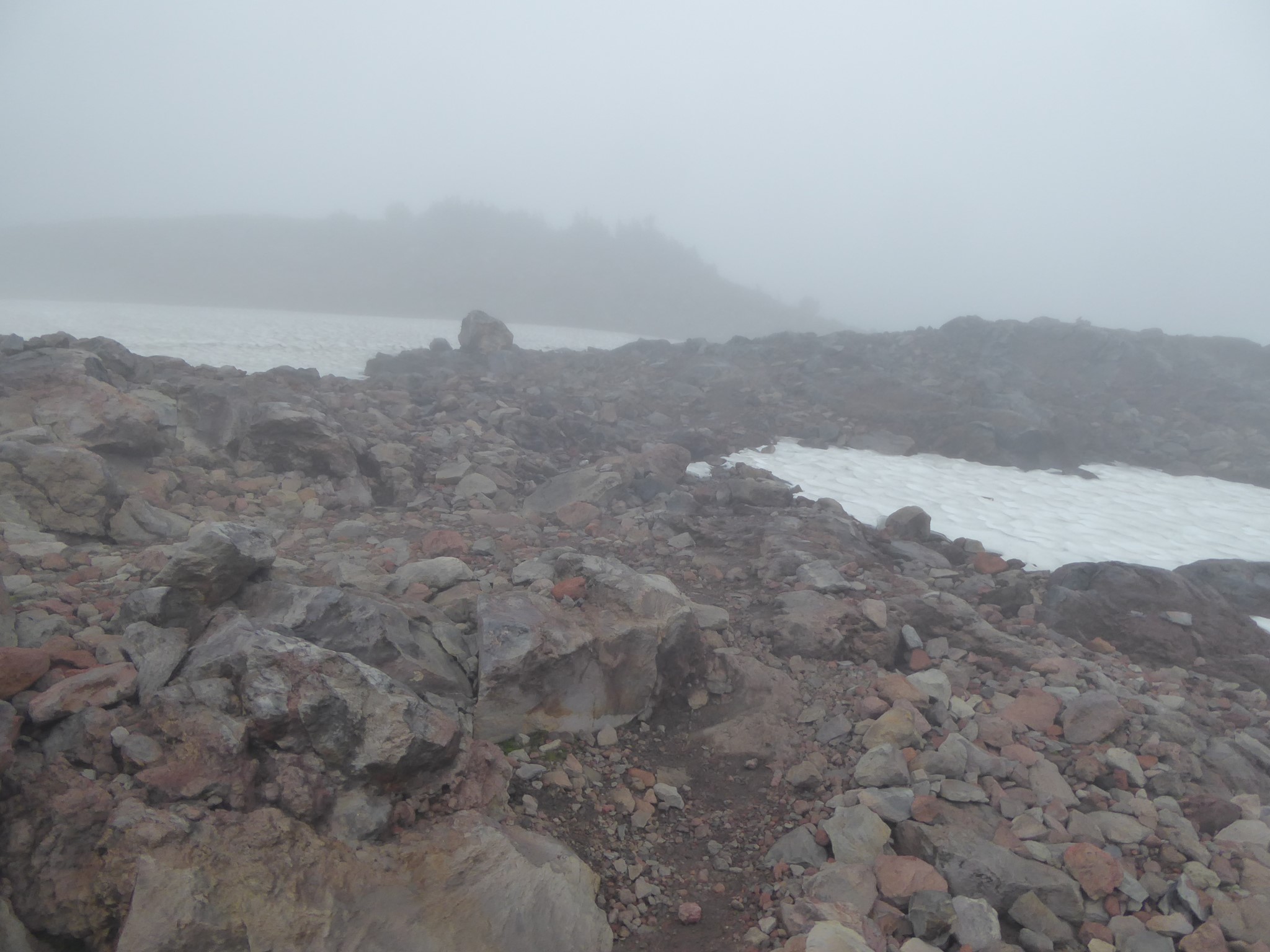
In addition to the rivers, snow can be a hazard especially early in the season. The highest points along the Wonderland are Panhandle Gap, Skyscraper Pass, and Spray Park if you choose to go that way. These often remain snowy until the end of August, and there are steep slopes approaching Panhandle and Skyscraper that would be un-fun to slide down. Spikes aren't needed once most of the trail has melted, but it may be easier to cross these high places if you can arrange to do so later in the day when the snow is soft rather than icy. And make sure your navigation is solid for these sections! Most of the Wonderland Trail is obvious to follow, but Panhandle Gap and the top of Spray Park are just rocks and snow patches with cairns to mark the way, so it'd be easy to lose your way during bad weather.
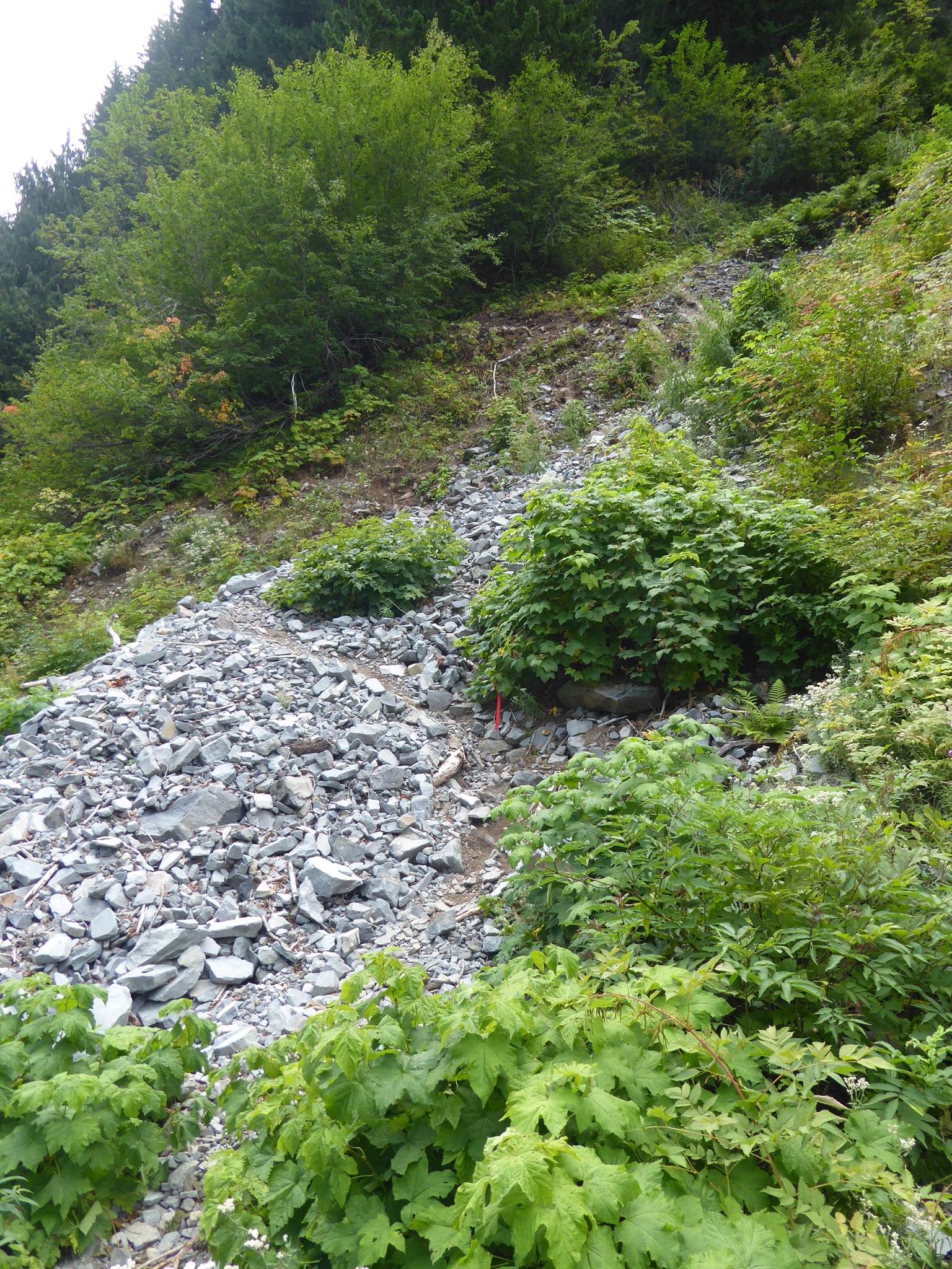
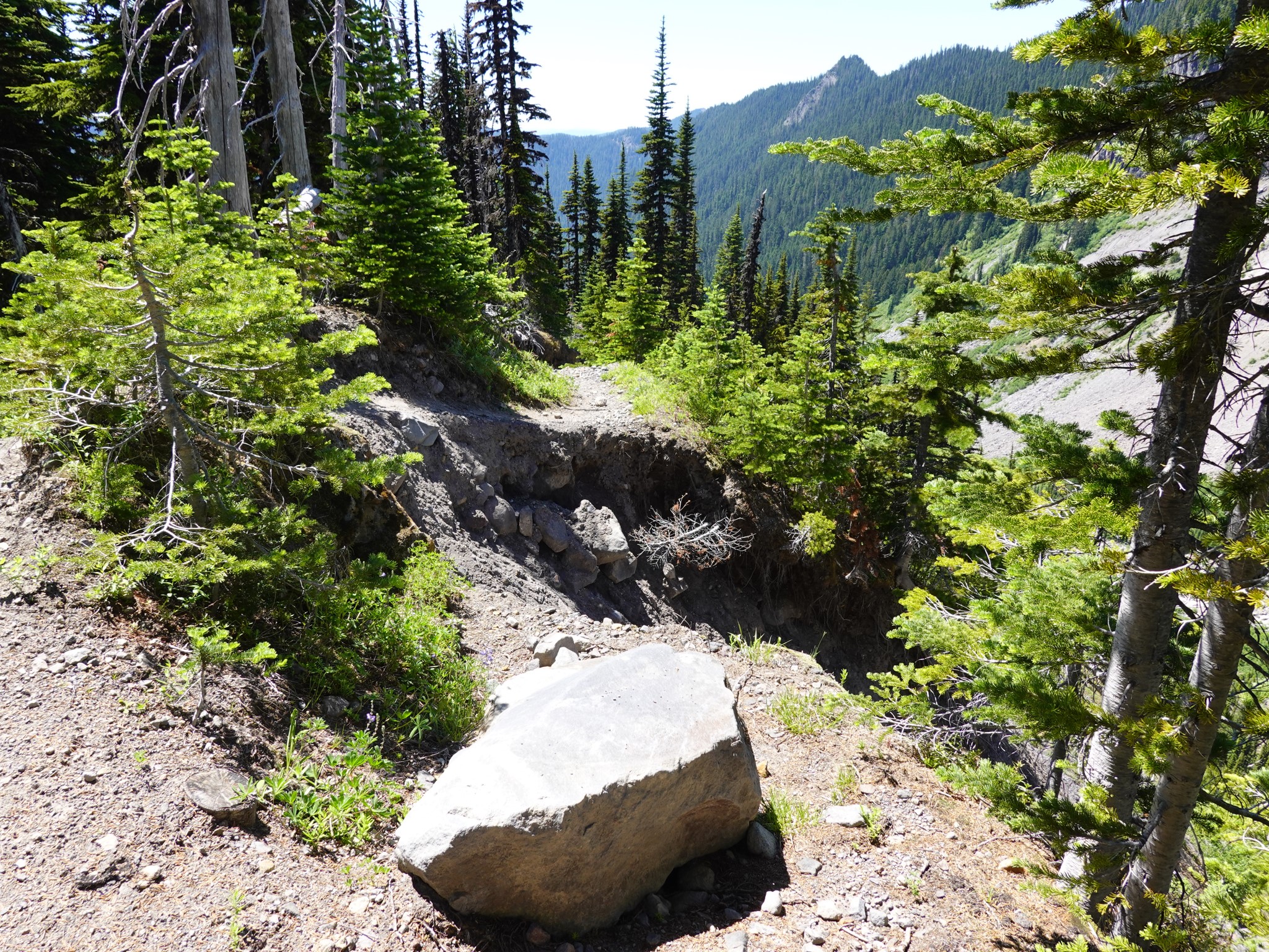
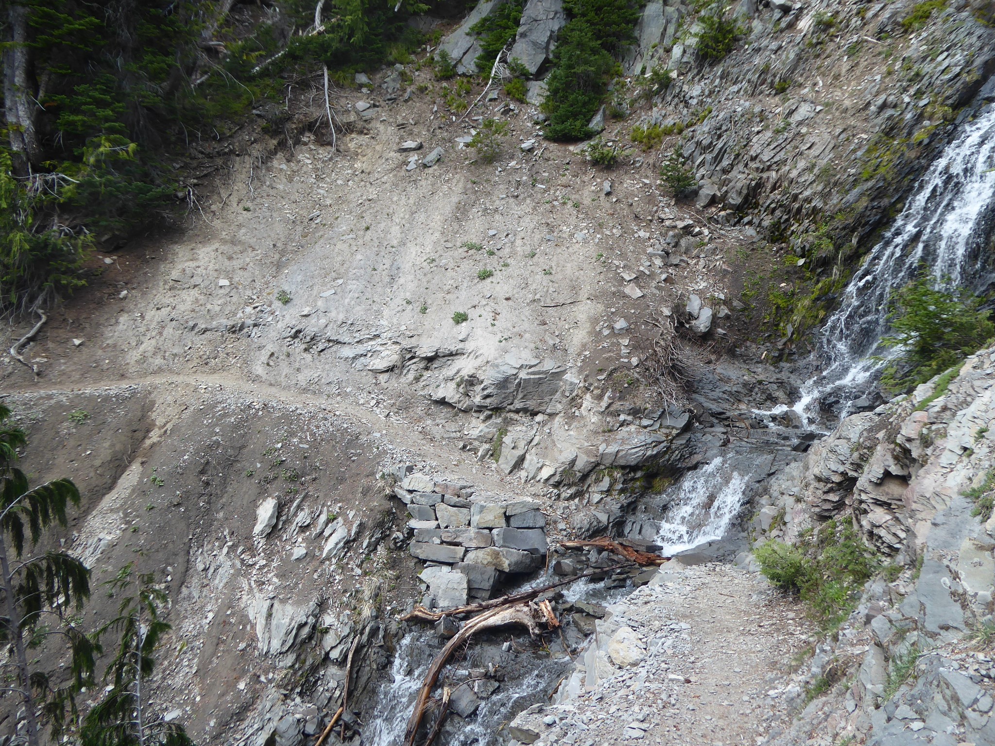
Final hazard category: washouts where a landslide takes out part of the trail. These can occur pretty much anywhere at any time, but notable locations are:
- Along Stevens Canyon, between Maple Creek and Reflection Lakes, the trail crosses a washout with loose, unstable footing that has existed for many years. As of 2024, the park is advising against crossing the slide, and a reroute down to the river has been constructed to replace it. This is currently quite scrambly, yet felt safe to me. I expect it will improve over time.
- Approaching Emerald Ridge from the north, a short washout with a long way to fall if it gave out on you has been encroaching on the trail for several years. As of July 2024, the remaining trail was narrower than I felt comfortable with, but this has since been rerouted.
- Between White River and Sunrise, the trail crosses a slide area and waterfall that is no big deal during normal Wonderland hiking season, but can be dangerous in early season when flow is high and snow bridges remain.