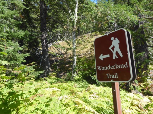
Where To Go On A Wonderland Circuit
First question is where to start? There are multiple trailheads around the Wonderland:
- Longmire (southwest side of the mountain) is the most popular. It's easily accessible year-round, has copious parking, toilets with running water, a restaurant, and a small shop in case you forgot your toothbrush. There's also a historic lodge where you could stay the night before or after your hike.
- Sunrise (northeast side) is in many ways similar to Longmire, with plentiful parking, running water, cafe, and a small shop, but it has no lodge and is at higher elevation so the access road may close during early or late season snowfalls. Note that the Sunrise trailhead is 0.5 miles from the Wonderland Trail proper, and 1.3 miles from Sunrise Camp.
- White River is near Sunrise but at lower elevation, so it remains accessible when the road to Sunrise is closed. There is running water here, but no other amenities.
- Box Canyon (southeast side) has plenty of parking space but as of 2024 no longer running water.
- Fryingpan Creek and Reflection Lakes are theoretically valid options, but not particularly desirable due to limited parking and lack of amenities.
Prior to the closure of Fairfax Bridge, additional options used to be Mowich Lake, the Paul Peak trailhead, and the Carbon River trailhead.
Whichever of Longmire or Sunrise you don't start at, the cafe there may offer a pleasant mid-trip lunch break. The National Park Inn at Longmire serves a range of meals, while Sunrise usually has cold snacks and a cooler of ice cream treats. Be aware that stopping for food at Sunrise adds an extra mile, and its opening hours are often limited.
Next up, which direction to hike? Personally I don't think this matters much, as either direction involves the exact same amount of up and down, plus the same views as long as you remember to turn around occasionally. Minor factors to consider are:
- Going clockwise makes it easier to carry water from St. Andrews Lake if you are staying at Klapatche Park, which often dries up later in the season.
- Some claim that going counterclockwise has steeper uphills vs. clockwise where the descents are steeper, but I'm not convinced. Seems to me there is plenty of both in either direction!
Yet another choice: at the northwest corner of the mountain, follow the official Wonderland Trail over Ipsut Pass, or take the popular alternative route over Spray Park?
- The Ipsut Pass route is more sheltered in bad weather, and features stunning old growth temperate rainforest plus the devastation of the glacial Carbon River valley. It requires crossing that river on a log bridge that has an unfortunate habit of getting washed away.
- The Spray Park route is slightly shorter but with more elevation change, and features some of the best alpine wildflower meadows on the mountain. The highest part remains snow covered for much of the year, and can be tricky to navigate in bad weather.
Both options are great, so clearly the best solution is to pick one at random for your Wonderland circuit, then come back later and hike the Spray Park Loop to also see the other.
If you are visiting from out of state, you'll need to rent a car. There is no public transport to the National Park, private shuttle options are limited and expensive, and taxis or Uber not a good fit for an area that mostly lacks cell service.

|