Wonderland Trail Campsites
There are many choices while planning a Wonderland circuit. This website includes a Wonderland Itinerary Planner which shows distance and elevation change between your choice of trailheads and campsites.
Going clockwise from Longmire, campsites along the Wonderland Trail are:
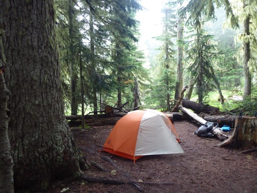
| Pyramid Creek | 3800', 3 sites Understated forest camp. Pyramid Creek itself is too silty to be a good water source, but there's a clear stream just past it to the north. | 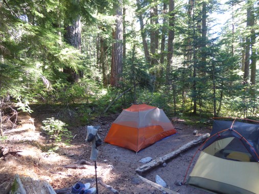 |
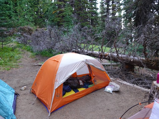
| Devil's Dream | 5100', 7 sites + group When water dries up late in the season, the closest source is half a mile north, past Kiya Lake. Photo shows group site. | 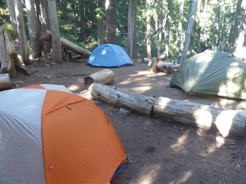 |
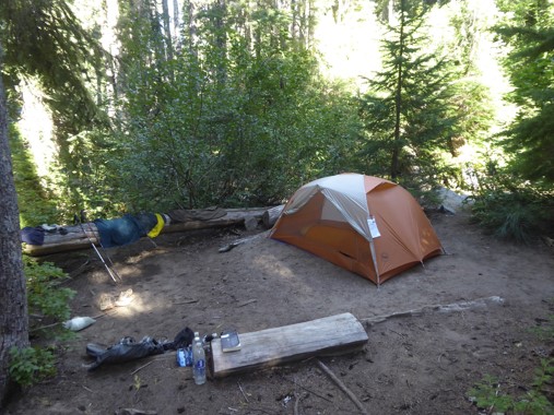
| South Puyallup River | 4000', 4 sites + group Don't miss the columnar andesite rock formation opposite the toilet. When water dries up late in the season, there's a good source a quarter mile toward Emerald Ridge. Photos show an individual site plus the group site. | 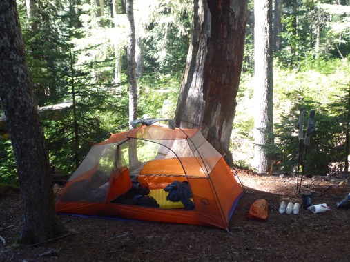 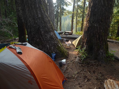 |
| Klapatche Park | 5500', 4 sites Water source and stunning spot for dinner with sunset views is Aurora Lake, which tends to dry up later in the season. Carry water from St. Andrews Lake (if you're heading north) or uphill from North Puyallup River (if heading south). | 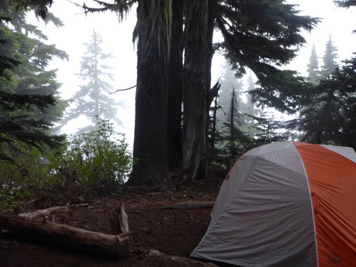 |
| North Puyallup River | 3700', 3 sites + group Unique and romantically spooky group site is made from the end of an abandoned road. Individual sites and water source are on the other side of the river, which is annoyingly far away from the toilet that's by the group site. Photo shows group site. | 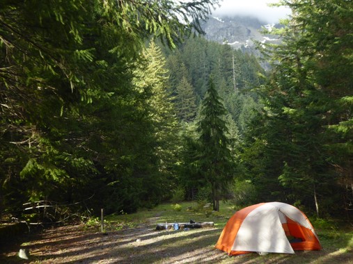 |
| Golden Lakes | 5100', 5 sites + group Great place to watch the sunset. Best place to filter water and swim is over the rocky outcrop to the left of the ranger cabin. Photos show an individual site plus the group site. | 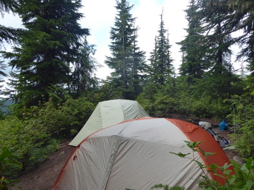 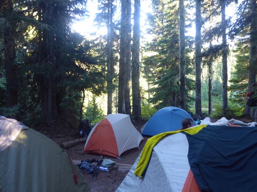 |
| South Mowich River | 2600', 3 sites + group Primordially damp and mossy riverside camp. Site #1 is a log shelter. There's a silt-free water source on the far side of the South Mowich River. | 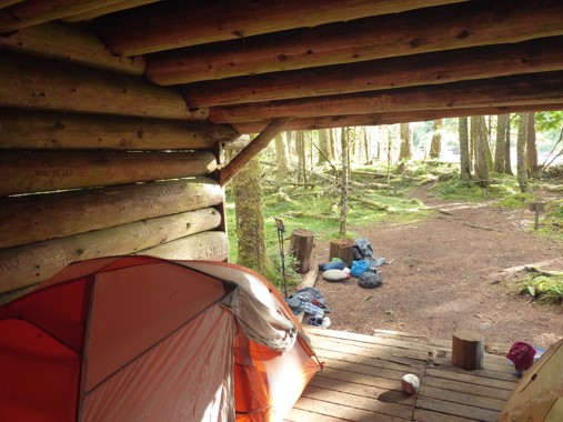 |
| Mowich Lake | 4900', 10 sites plus booking system allows groups but there aren't dedicated group platforms so you'll just have to squish tents in wherever they can fit Prior to the closure of Fairfax Bridge, used to double as a popular frontcountry car camping site, so lacked privacy and was often noisy, but having resupply cache and picnic tables right by camp was a huge plus. Probably lovely and quiet now the cars can't get there! | 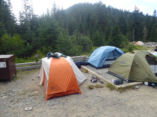 |
| Ipsut Creek (if not going over Spray Park) | 2400', 12 sites + group Former car campsite, now reclaimed as wilderness due to road closure. | 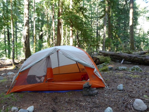 |
| Eagle's Roost (if taking Spray Park) | 4900', 7 sites Water can be found a short distance along the trail toward Spray Falls. | 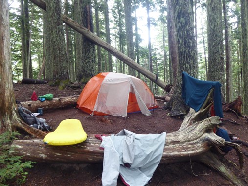 |
| Cataract Valley (if taking Spray Park) | 4600', 6 sites + group Situated below a talus field, so pika will likely join in your campsite conversations. Photo shows group site. | 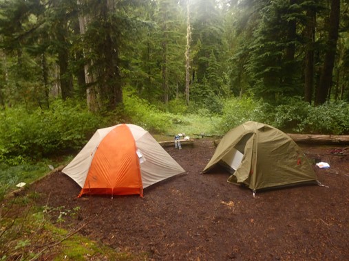 |
| Carbon River Camp | 3200', 4 sites + group |  |
| Dick Creek | 4200', 2 sites Cool site overlooking the Carbon Glacier. | |
| Mystic Camp | 5600', 7 sites + group Mystic Lake (a short walk from the camp) is where I want my ashes scattered when my time comes. I suppose I should get to work on becoming close friends with some strong hikers a few decades younger than me, then :-) |  |
| Granite Creek | 5800', 3 sites + group | |
| Sunrise Camp | 6200', 8 sites + group Water source is Shadow Lake. Photo shows group site. | 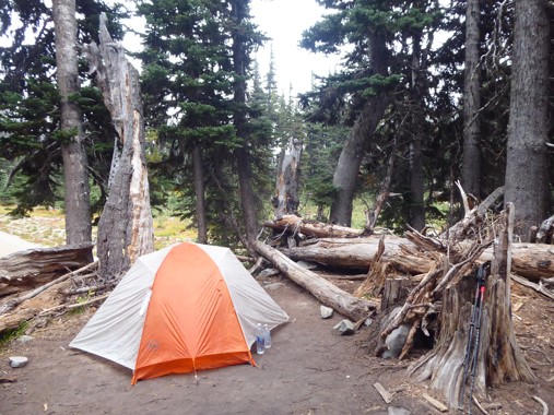 |
| White River | 4200', 4 sites + group This is also a frontcountry car camping site, but dedicated backcountry sites are tucked away near where the trail heads uphill toward Sunrise, so there's more quiet & privacy than Mowich Lake. | 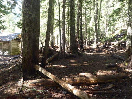 |
| Summerland | 5900', 5 sites + group Stunning alpine meadows, famous for bear encounters. Water source is a short distance along the trail toward Panhandle Gap. Photos show an individual site, plus the group site which is a stone shelter built by the CCC. | 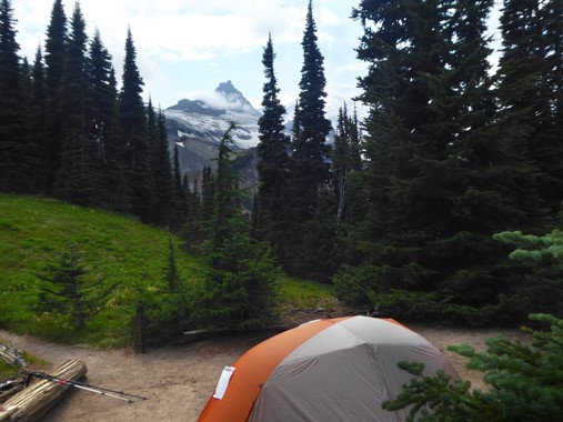 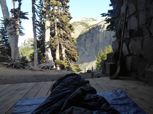 |
| Indian Bar | 5100', 4 sites + group One of the prettiest places on the mountain. Photos show an individual site, plus the group site which is a stone shelter built by the CCC. | 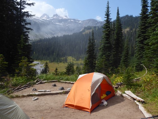 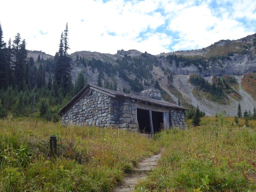 |
| Nickel Creek | 3400', 3 sites + group Understated forest camp. Water source is the creek a short distance below the camp. | 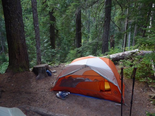 |
| Maple Creek | 2800', 4 sites + group Pretty forest camp, but suffers occasional road noise. Photo shows group site. | 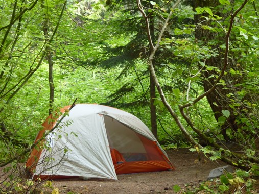 |
| Paradise River | 3800', 3 sites + group Understated forest camp that suffers occasional road noise. Water source is the creek a short distance east of camp. | 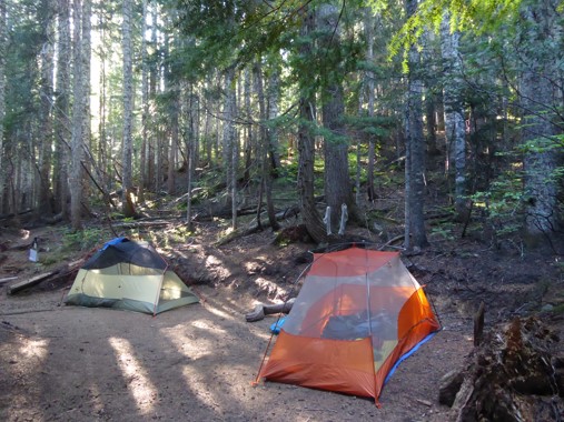 |
Longmire itself has nowhere to camp, but you could book a room at the National Park Inn, or camp at Cougar Rock (a frontcountry car campground) 1.5 miles up the road.
Oftentimes, the secret of success for getting a Wonderland permit is flexibility. The more you're able to adjust dates, direction, duration, and campsites, the better your odds of something being available. Sometimes this can involve putting together creative routes that stray off the Wonderland in places, making use of whatever campsites are still available. There are many such possibilities, including:
Another source of flexibility can be found in substituting other trails for unavailable sections of the Wonderland. If none of Dick Creek, Mystic Camp, or Granite Creek are available, you could detour via the Northern Loop and stay at James Camp or Fire Creek instead. If Summerland and Indian Bar are fully booked, hop over to the Eastside Trail via Owyhigh Lakes and the Cowlitz Divide Trail, camping at Tamanos Creek, Deer Creek, or Olallie Creek. This eastside detour can be particularly useful because Summerland and Indian Bar tend to fill up early, so they often end up being the limiting factor in putting together a full circuit.
